At high tide the waters of Perth’s Swan-Canning Estuary can cover 55 square kilometres – a surface area just a whisker larger than Sydney Harbour. Point Walter is where the Swan “turns the corner”, then suddenly gets much narrower and deeper.
Click here if you do not already know where Point Walter is, and/or you do not already know how Perth wraps the Swan-Canning estuary.
Perth is very young, but humans lived here for many thousands of years before 1829.
The estuary’s original, Noongar custodians called it Derbal Yerigan.
What we know as Point Walter and Blackwall Reach were, respectively, Dyoondalup – “place of long flowing white hair” – and Jenalup – “the place where feet make a track”. ( discover more, here)
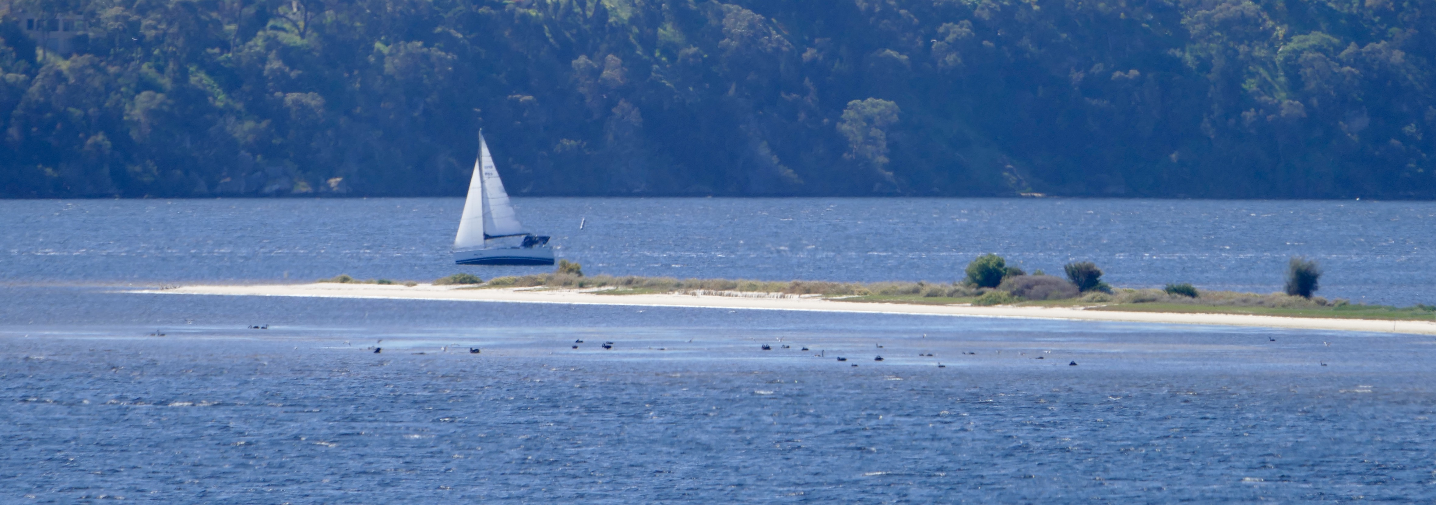
At Point Walter you can look across kilometres of water.
Claremont is due north; at low tide you can get more than halfway there, without swimming, and with dry feet.
The sandspit reaches out from Point Walter, nearly a kilometre into Freshwater Bay – thus, Perth’s residents can walk right out into “their” river.
Invariably, a walk on the spit is rewarding; you may well see dolphins, you certainly will see birds, and if you are very lucky you just could have an astonishingly intimate, “once in a lifetime” encounter with an osprey. (my beloved and I did there have one such encounter; it will be the subject of a future post)
All photos in this post were taken at low tide on the afternoon of October 12, 2017 – a glorious, windy Spring day.
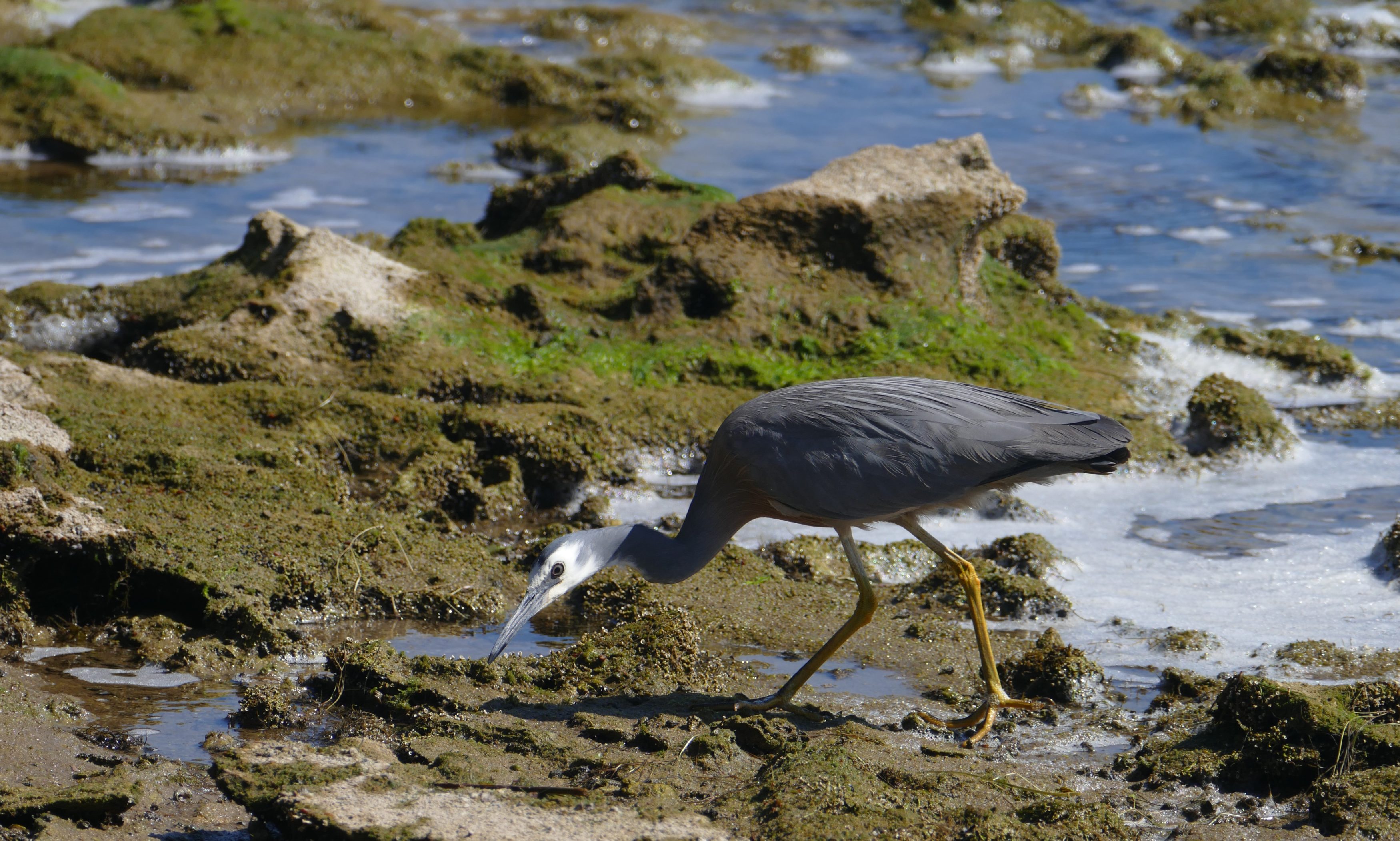
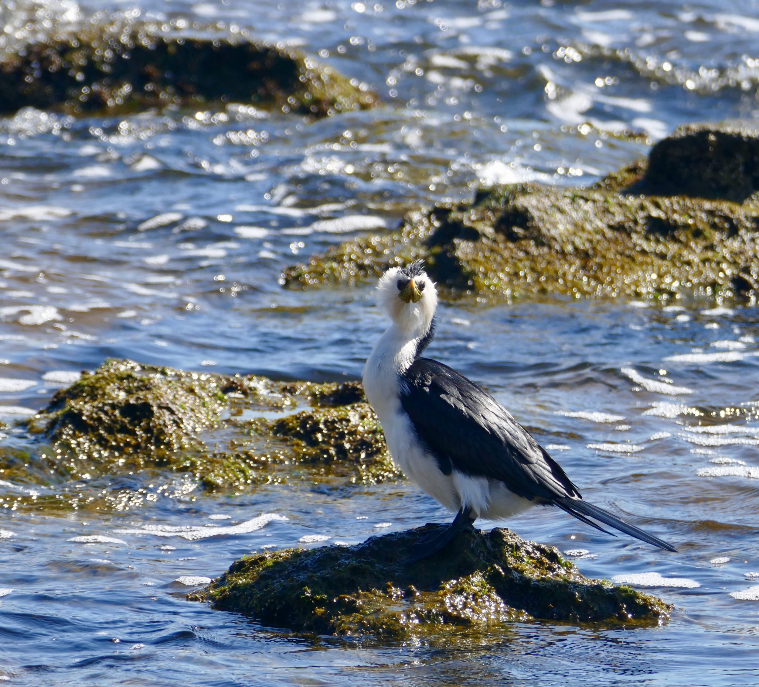
This is the same individual as pictured in the photo atop this post.
A few metres further out, was a very small bird, enjoying a rarely-exposed rock.
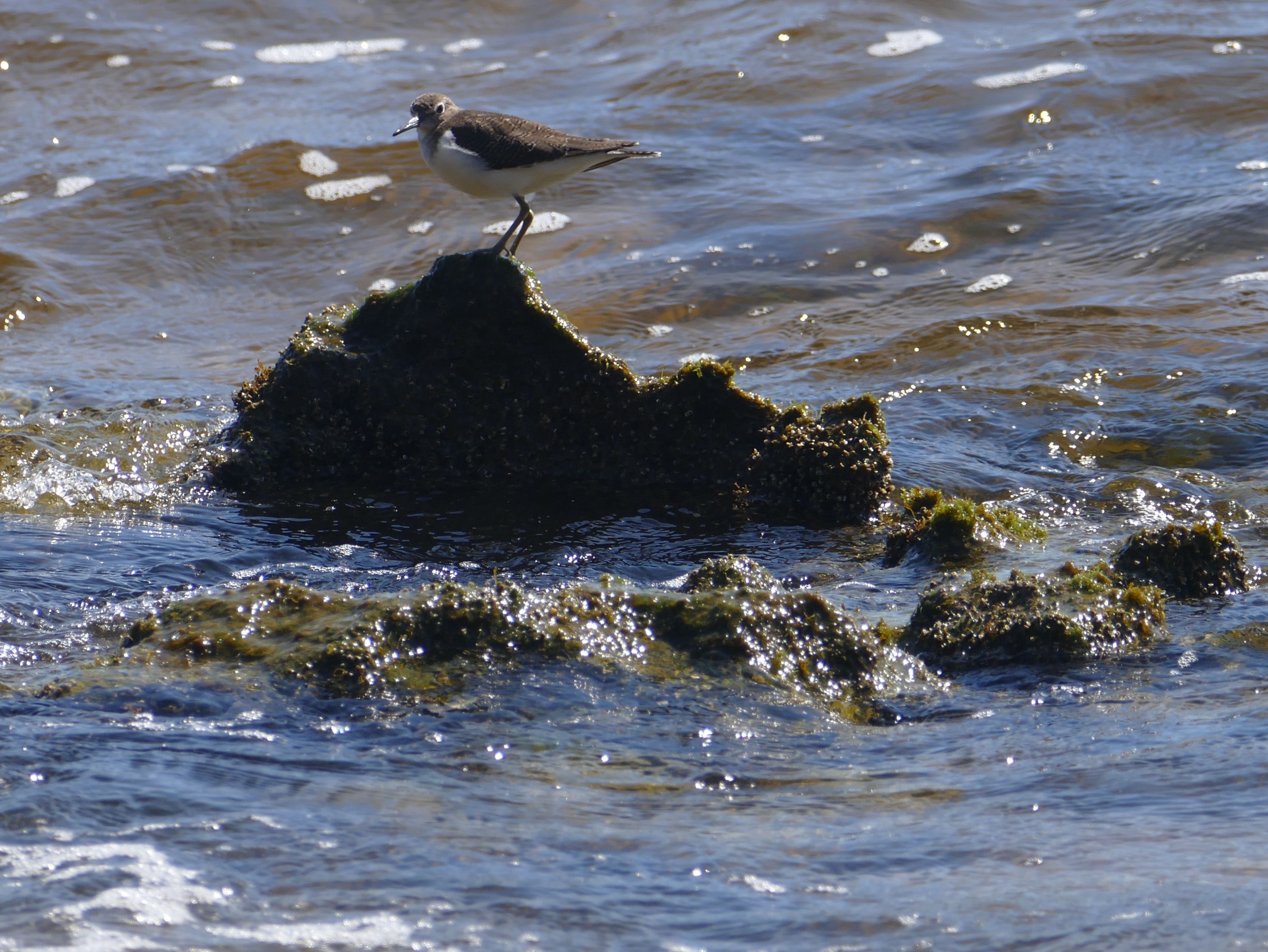
I think the little bird is a migratory wader, recently returned from the Northern Hemisphere.
(I could be wrong; expert identification/correction is welcomed)
Cormorants are here, through the year.
The Swan-Canning estuary’s waters’ surface area may at times just exceed Sydney Harbour’s, but the latter has much more water – 500 gigalitres (around 200 thousand Olympic pools) compared to around 130 thousand to 160 thousand gigalitres.
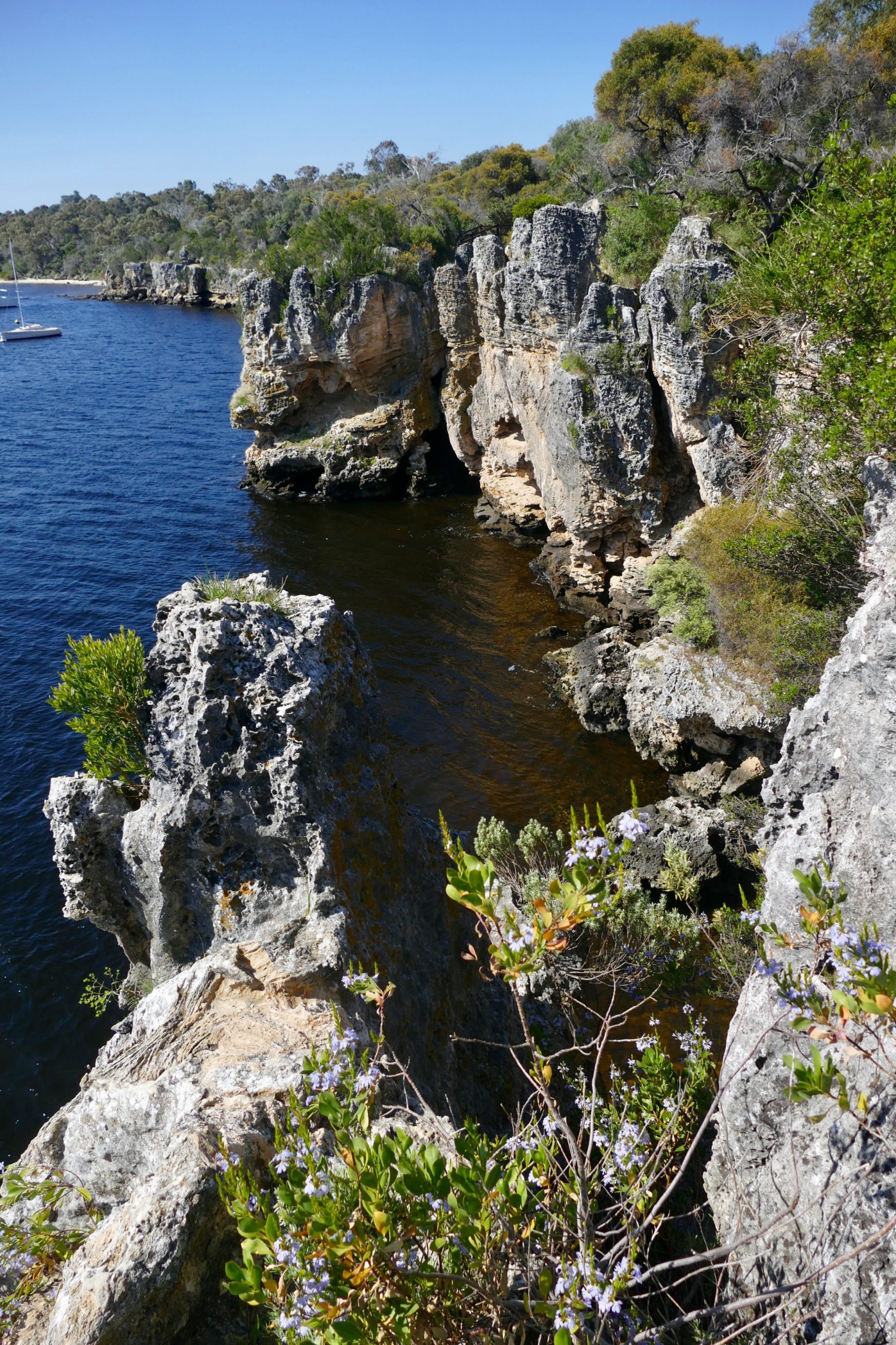
At Blackwall Reach the Swan’s waters are much deeper and its opposite shores much closer to each other than is true just a few minutes walk away at Point Walter.
It is “forbidden” to dive from Blackwall Reach’s cliffs; many people ignore the prohibition, with consequences sometimes awful, even fatal.
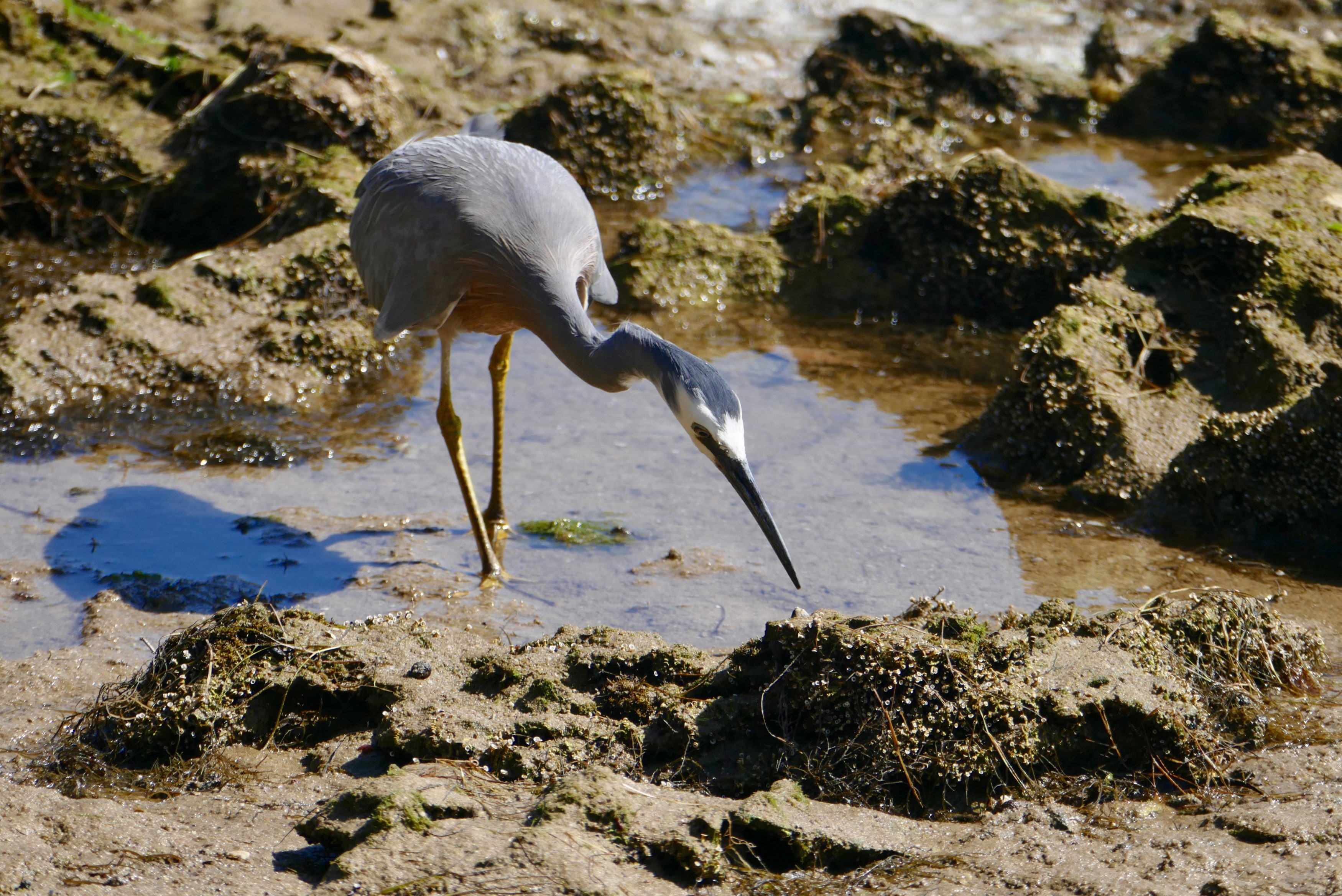
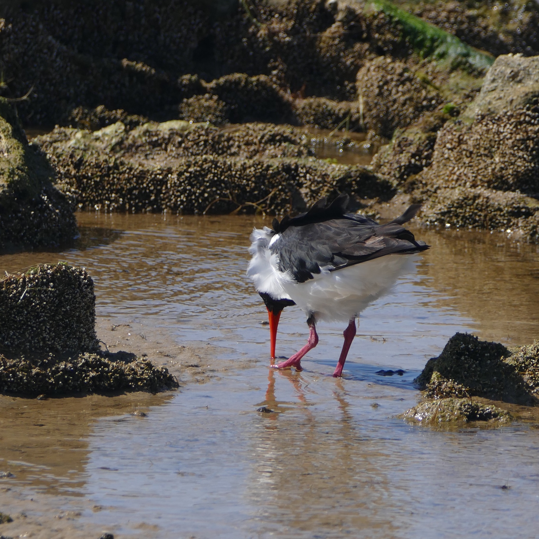
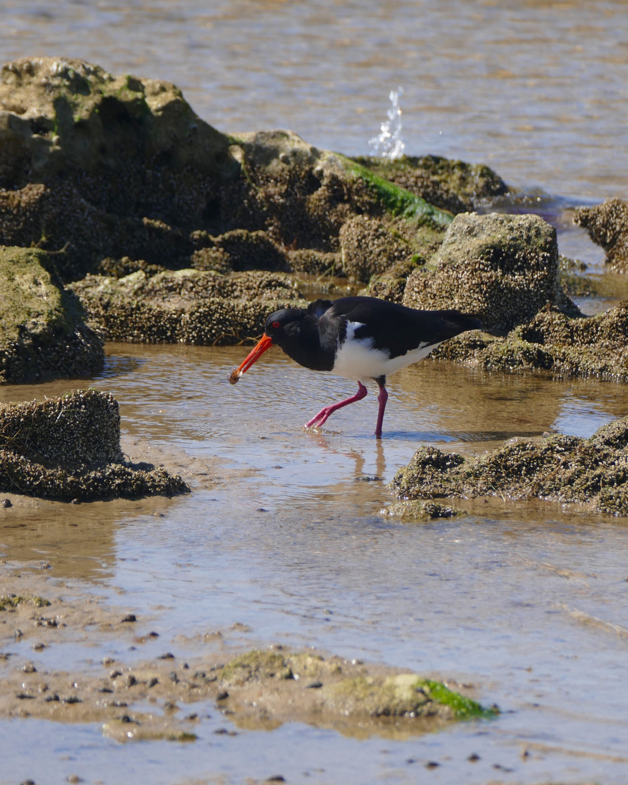
This post’s final two images were taken only minutes away, on the spit; whereas the far shore was just hundreds of metres behind the heron, it was kilometres distant from the equally-intent pied oystercatcher.
I suggest you zoom in on/enlarge the final picture.
Nice fotos Doug. “Very Small Bird”. Could be the smaller cousin of “Big Bird”