Skip to content →

Category: Australia (not WA)

Flinders Island, March ‘25 (#23 in series: Mount Chappell Island “2” + musical bonus)


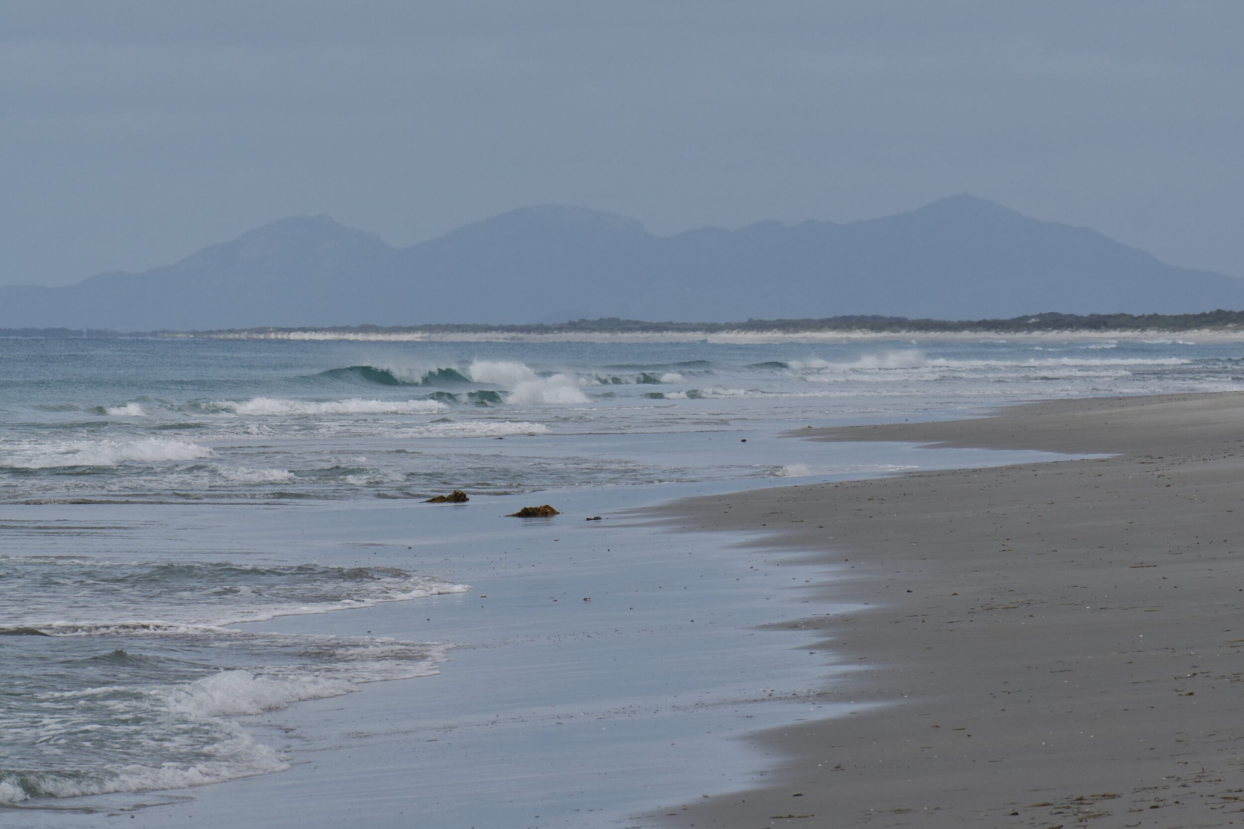
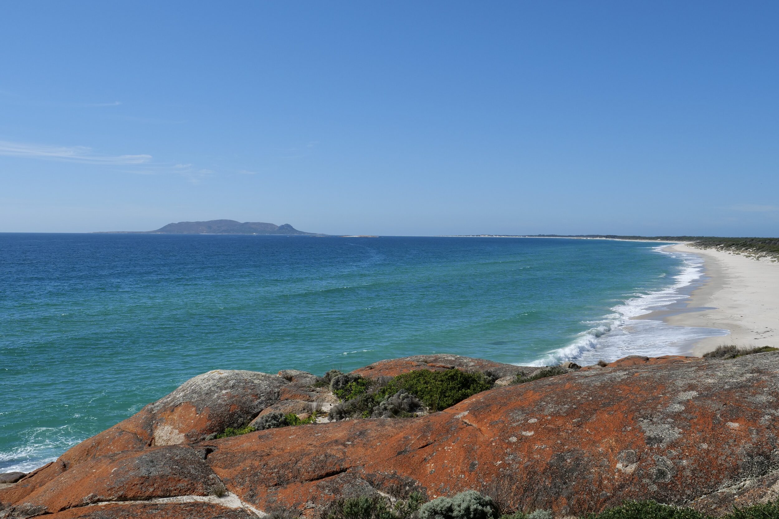
This post’s photo was taken just a few minutes further into our morning walk on 18 March 2025.

When clouds move along in a dappled sky, they can swiftly and dramatically change a landscape’s/seascape’s appearance.

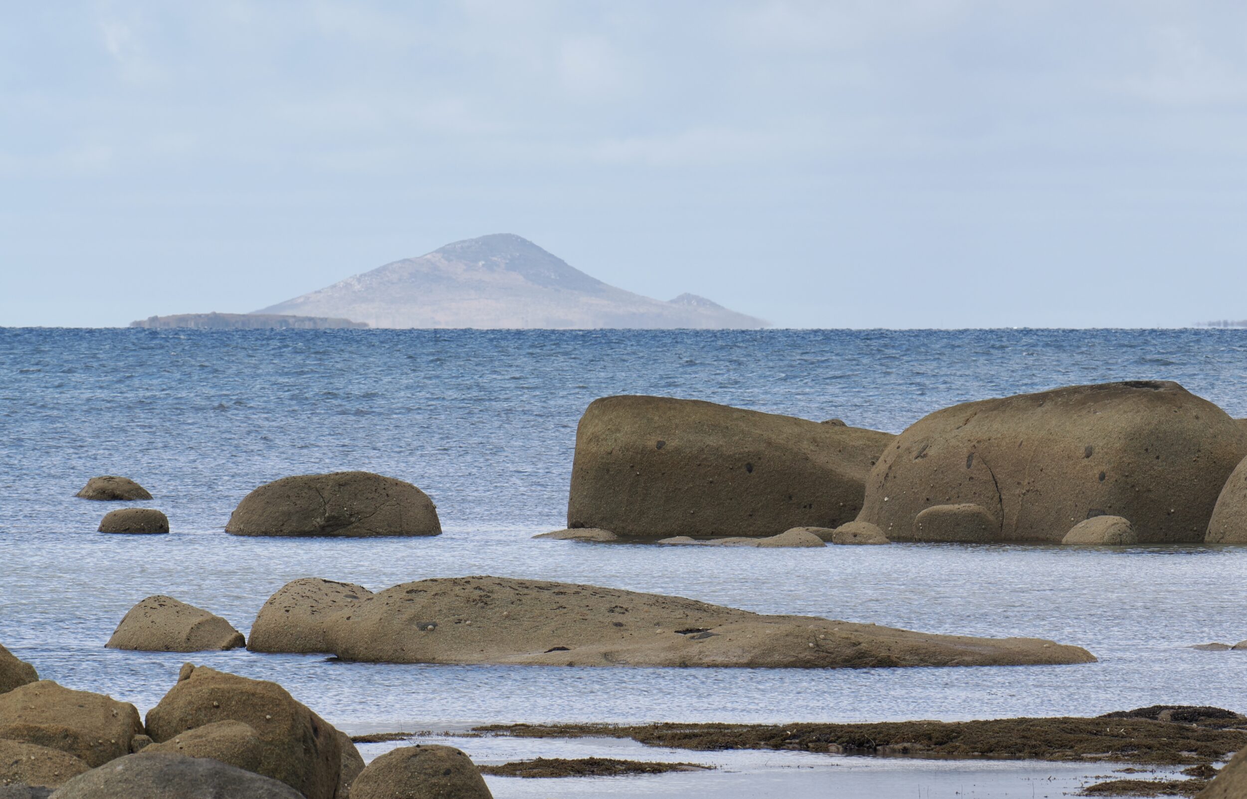
A few minutes earlier – as pictured in this series’ preceding chapter – the “darkly forbidding”, low-lying island in front of Hummocky/Mt Chappell Island was an “inviting” isle, bathed in golden light.

Matthew Flinders named Mount Chappell in 1798, after the maiden name of the woman he would marry in 1801.

Flinders Island, is named after him, as are more than 100 other Australian places; Flinders was the first person to map the entire Australian continent’s shoreline – mostly, with astonishing precision.

Comments closed

Flinders Island, March ‘25 (#22 in series: Mount Chappell Island “1” + musical bonus)


I took this post’s photo at 9.49 am on 18 March 2025, as we were walking along part of the southern portion of the western shore of Flinders Island.

Flinders is much the largest in the Furneaux Group, which sits at the eastern edge of Bass Strait, off the northeast tip of Tasmania’s “mainland”.

The Furneaux Group has circa 100 members; whatever shorelines you walk on Flinders Island, other islands are always visible.

The pictured “island in the sun” (whilst our vantage point was still cloud-shaded) is variously known as “Mount Chappell Island” or as “Hummocky”.

One Comment

Flinders Island, March ‘25 (#21 in series: big geese, taking off)


It is very safe to assume that on 26 March 2025 the pictured grassy “runway” experienced more landings, take-offs and taxiings than did Flinders Island’s airport.

At the airport each such action was a “one at a time” affair; in the paddock, invariably, each such event simultaneously involved a pair of partners-for-life.

The featured photo and the one below were taken within a few seconds of each other, and they show the same couple.

Comments closed

Flinders Island, March ‘25 (#20 in series: ‘til death do them part)


Cape Barren geese are monogamous, and a “breeding pair” usually forms a life-long bond.

During the breeding season the pair focus almost exclusively on each other, their nest and their eggs/chicks.

After breeding season (generally, in tussocky wild places on offshore islands) Cape Barren geese usually fly to grassy places.

These are often on south-coastal, mainland-Australian farmland, or paddocks on the larger offshore islands.

In “grazing mode”, the geese are more generally-sociable.

However, as you can see in the immediately-preceding chapter’s photo, even within grazing “flocks” the pair-bonds are conspicuously evident.

Comments closed

Flinders Island, March ‘25 (#19 in series: still rare, no longer endangered)


The world’s rarest goose lives only in Hawai’i; click here to discover more about the Nene, aka “The Hawaiian Goose”.

The second rarest goose species – pictured above – lives only in certain southern Australian coastal places.

Like the Nene, the Cape Barren Goose (Cereopsis novaehollandiae) very nearly became extinct; by 1950, both species appeared to be “doomed”.

However, conservation efforts in the 20th century’s second half proved successful.

Neither species is now on the IUCN’s list of “threatened” species.

Certain key physical and behavioural features of Cape Barren geese are evident in the photo.

Comments closed

Flinders Island, March ‘25 (#18 in series: longest beach, dry wetland)


From Sellars Point – a couple of kilometres east of Red Bluff – Flinders Island’s longest beach stretches along almost the entire southern half of Flinders’ east coast.

Nominally, Planter Beach is two beaches, separated (at East River Bluff) by what justifies Cameron Inlet’s status as an inlet.

Only rarely, however, does Flinders’ largest inlet contain enough water for it to open its “mouth” and “kiss” the ocean.

Planter Beach (North) and Planter Beach (South) are usually a single, uninterrupted strand.

The featured image looks south; on the horizon are Strzelecki National Park’s mountains, which dominate the southern end of Flinders Island.

Comments closed

Flinders Island, March ‘25 (#17 in series: Babel Island)


This post’s photos were both taken from atop Red Bluff, circa midway along Flinders Island’s east coast.

No bird is visible in either image.

Both the wide angle and “normal perspective” images – respectively, 34mm & 58 mm – look to Babel Island, which covers just 440 hectares.

During one large seabird’s breeding season, this small island is home to a deal more than six million individuals!

You are looking at the site of the world’s largest shearwater “colony”.

Comments closed

Flinders Island, March ‘25 (#16 in series: petite “soldiers”, big beaches)


Most of Flinders Island’s more than 120 beaches are on its much-indented western and southern  shores.

Flinders has a pointy northern end, so all beaches are essentially on the “south”, the “west”, or the “east” coast.

Just two very long beaches occupy circa 80% of the east coast.

The white line running right across the featured image is just part of Foochow Beach; its 23.5 kilometres comprise most of the northern section of Flinders’ east coast.

Comments closed

Flinders Island, March ‘25 (#14 in series: Killiecrankie Bay “1”)


Killiecrankie Bay is on the northwestern side of Flinders Island.

Both of this post’s photos offer a wide angle view (32 mm).

The featured image looks north, from the southern half of the bay’s shoreline.

Its high point – Mount Killiecrankie – rises circa 316 metres above sea level.

(Alleged altitude readings for Flinders Island’s peaks are highly unreliable/inconsistent. Some add another couple of metres to Mt Killiecrankie. Others lop 30 metres off it!)

Comments closed