Colombia is a global “hotspot” for spider species.
More than 580 of those identified there are believed to be endemic; they have only been seen in Colombia…knowingly, at least, by human eyes.
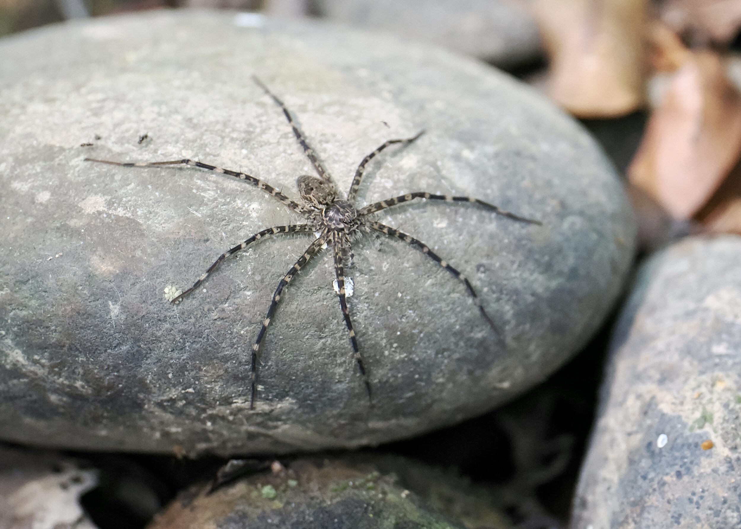
I do not know the pictured spider’s species, nor its particular specialty/niche.
My hunch is that it is semi-aquatic; I suspect that it actively hunts its prey, rather than “trapping” them in a web or pit.
I can confirm that its legs were very long; they spanned a considerable portion of the relevant rock, which was not merely a pebble
Leave a Comment