As Charlie Rich most famously sang – in 1973 – no one knows what goes on behind closed doors.
In 2024, even far away from Nashville, those words still hold true.
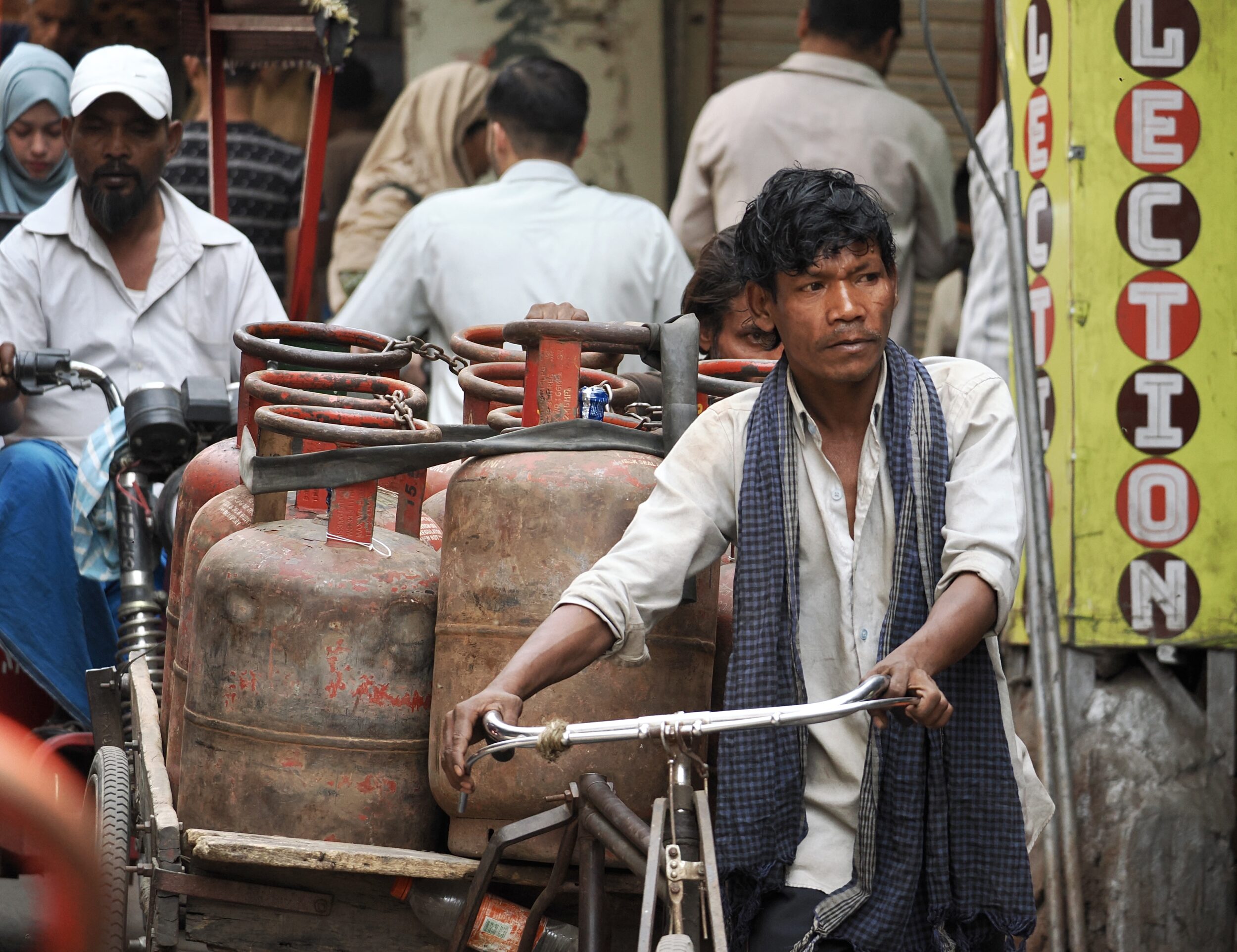
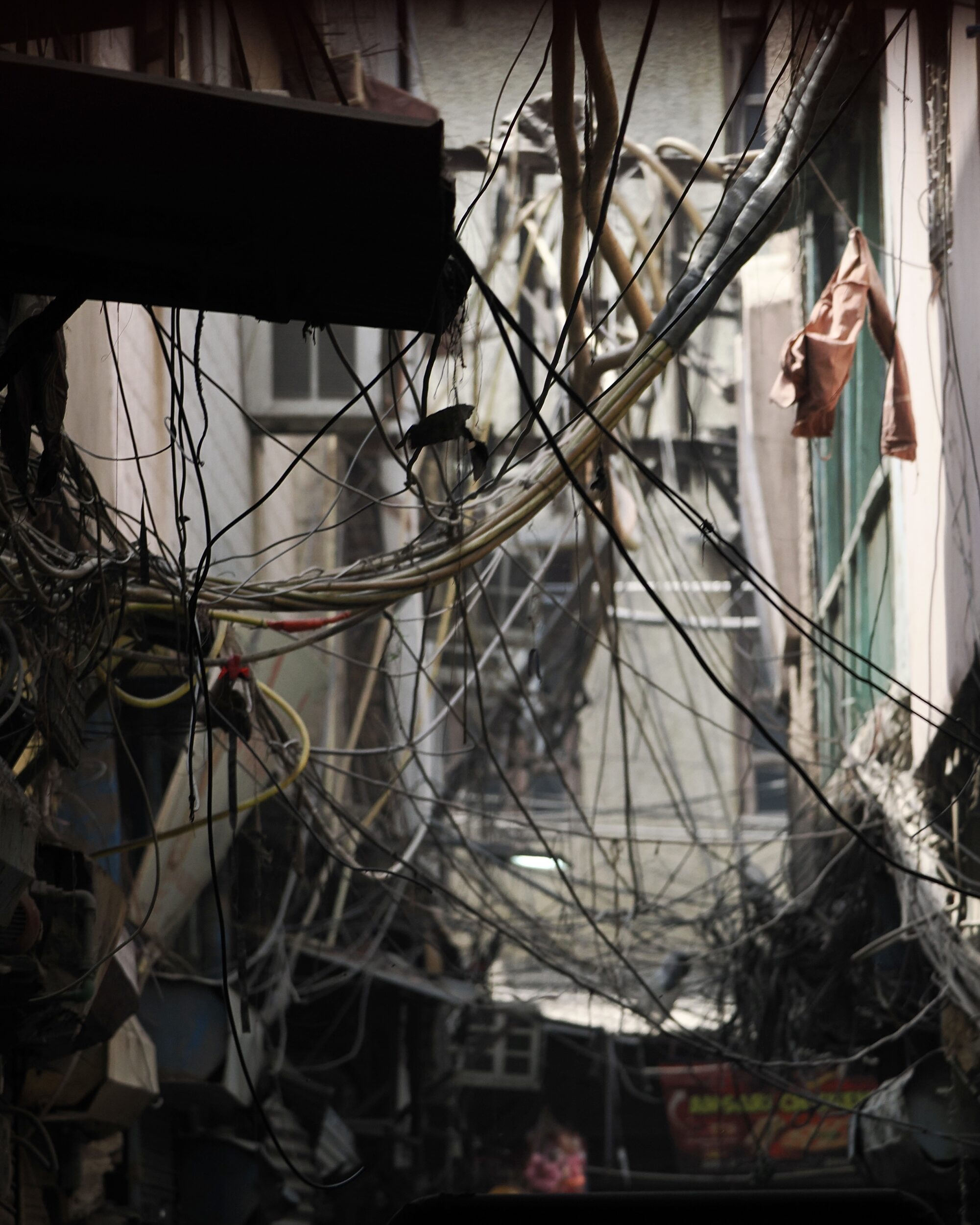
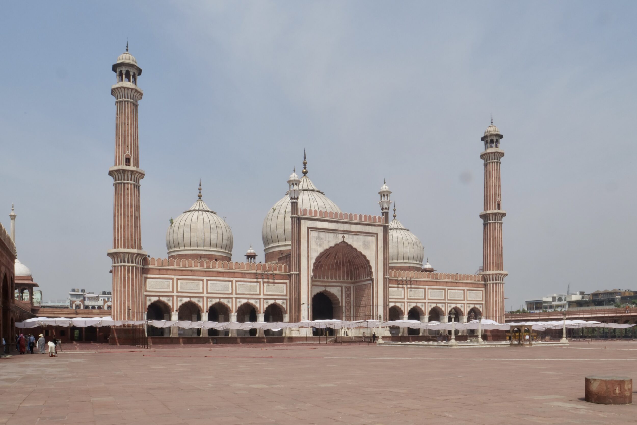
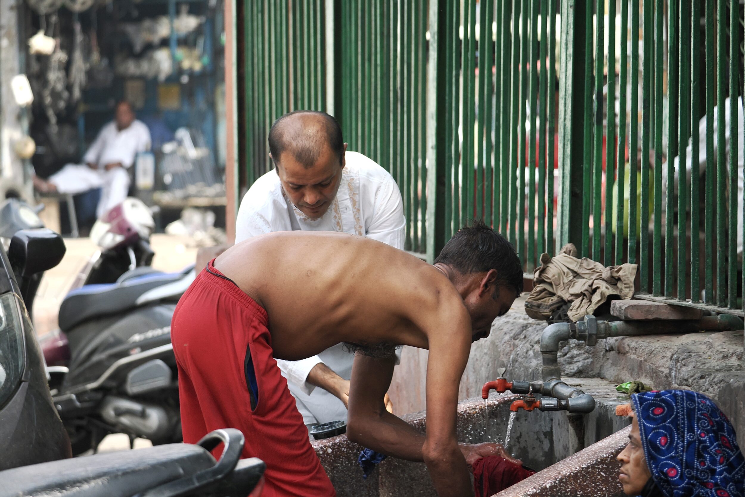
However, collectively, Old Delhi’s residents’ live a much greater portion of their lives “in the open air/out on the streets” than do people in Nashville…or any “Western” city.
Comments closed