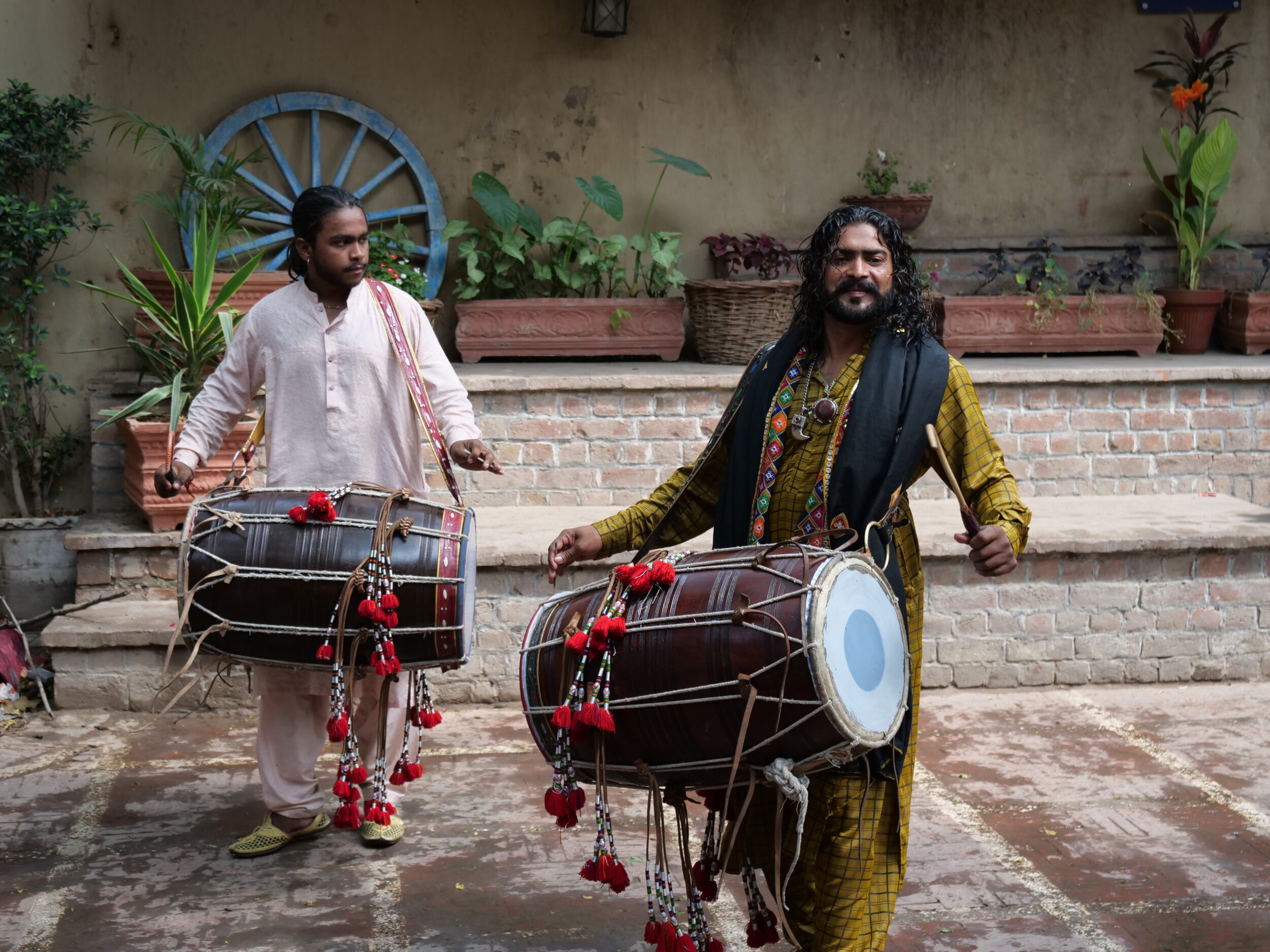
In 2010 UNESCO inscribed flamenco on its “Representative List of the Intangible Cultural Heritage of Humanity”:
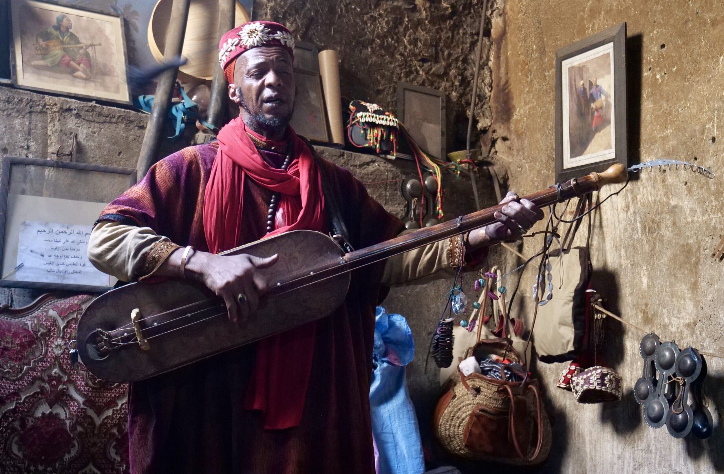
(Gnawa was added to that list in 2019)
A lot of mostly-awful, so-called “flamenco” is not remotely actual flamenco,
Outside Spain, most recordings marketed as flamenco are merely “flamenco”-flavoured pap; their makers & marketers know little about the real thing, and have no passion for it.
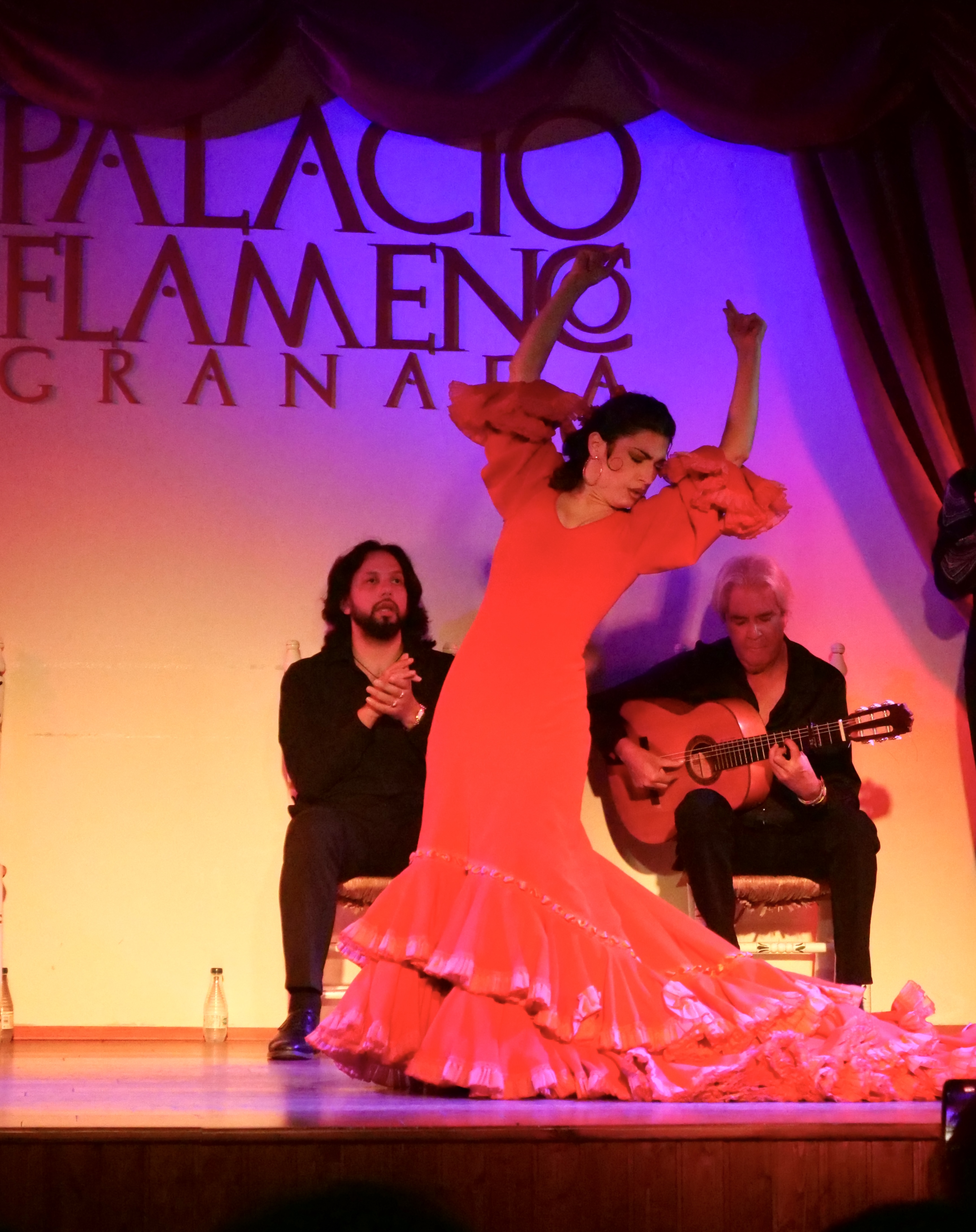
Virtuosic dancing, singing and playing (hands & feet are key instruments too – not just guitars), in-the-moment interplay, and improvisatory flair are equally key elements …as is duende.
Without duende – an “untranslatable” word that denotes an abundance of intent/spirit/heart/presence-in-the-moment – flamenco has no raison d’être.
It is no small miracle that genuine flamenco continues to thrive in its “cradle”: Andalucia.
Comments closed