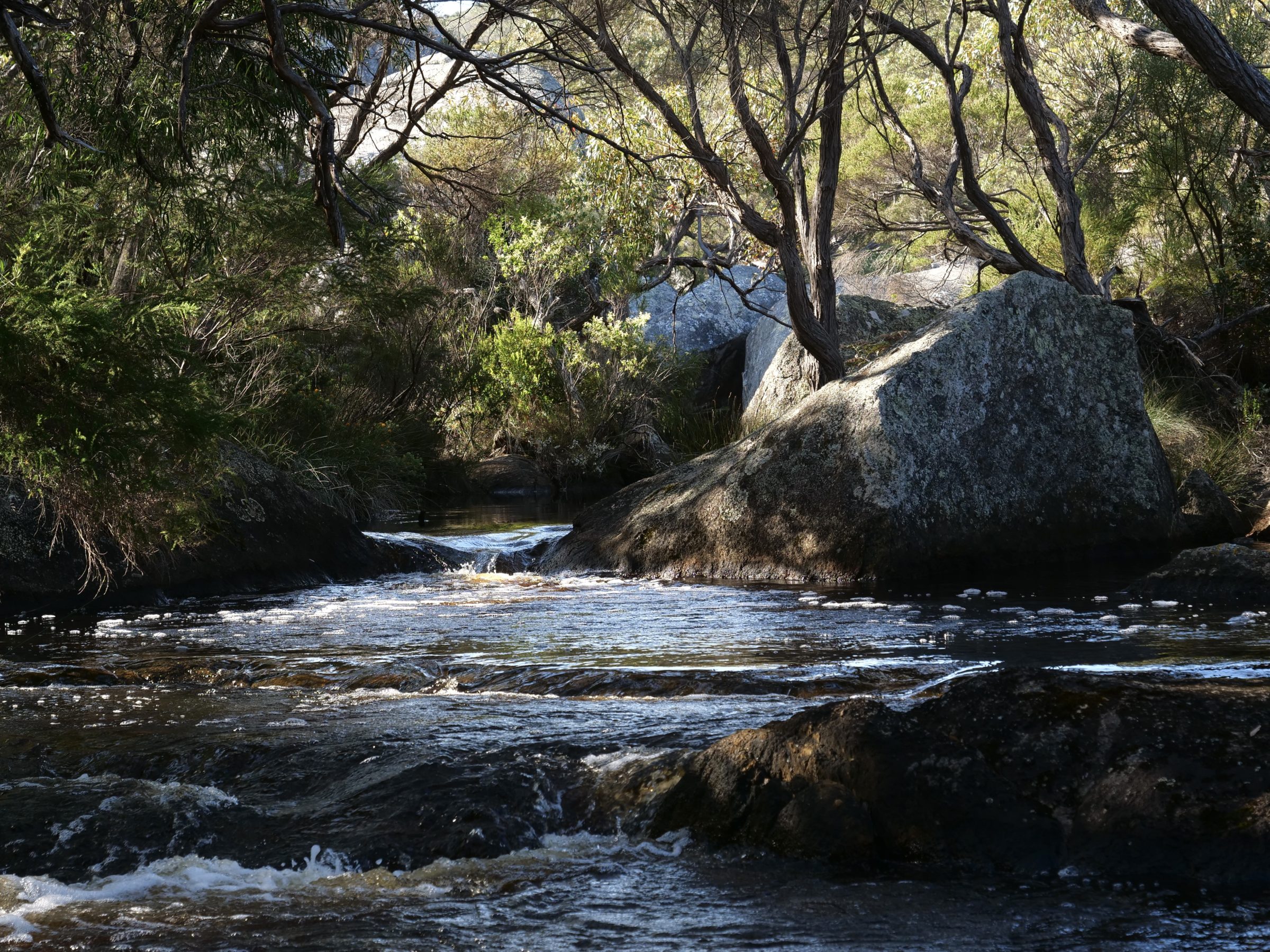
Pictured is the final stretch of the Waychinicup River’s 17 kilometres.
After this spot, the river tumbles into the Waychinicup Inlet; arguably, the inlet is only truly “estuarine” in the narrow section within circa 150 metres of the river-proper’s end. (you will see that section in #20 of this series)
Thereafter, the river’s mostly-modest freshwater flow is comprehensively swamped by the Waychinicup Inlet’s saltier waters.
The Southern Ocean is the Inlet’s primary water source, via tides and waves.
Most of the inlet’s sheltered, shallow waters are reliably clear, and very alive.
(All photos copyright Doug Spencer. This one taken at 3.42 pm on 22 September 2020)