The featured photo was taken at 4.22 pm on 21 November 2022 – four minutes after the second one in #1 of this series.
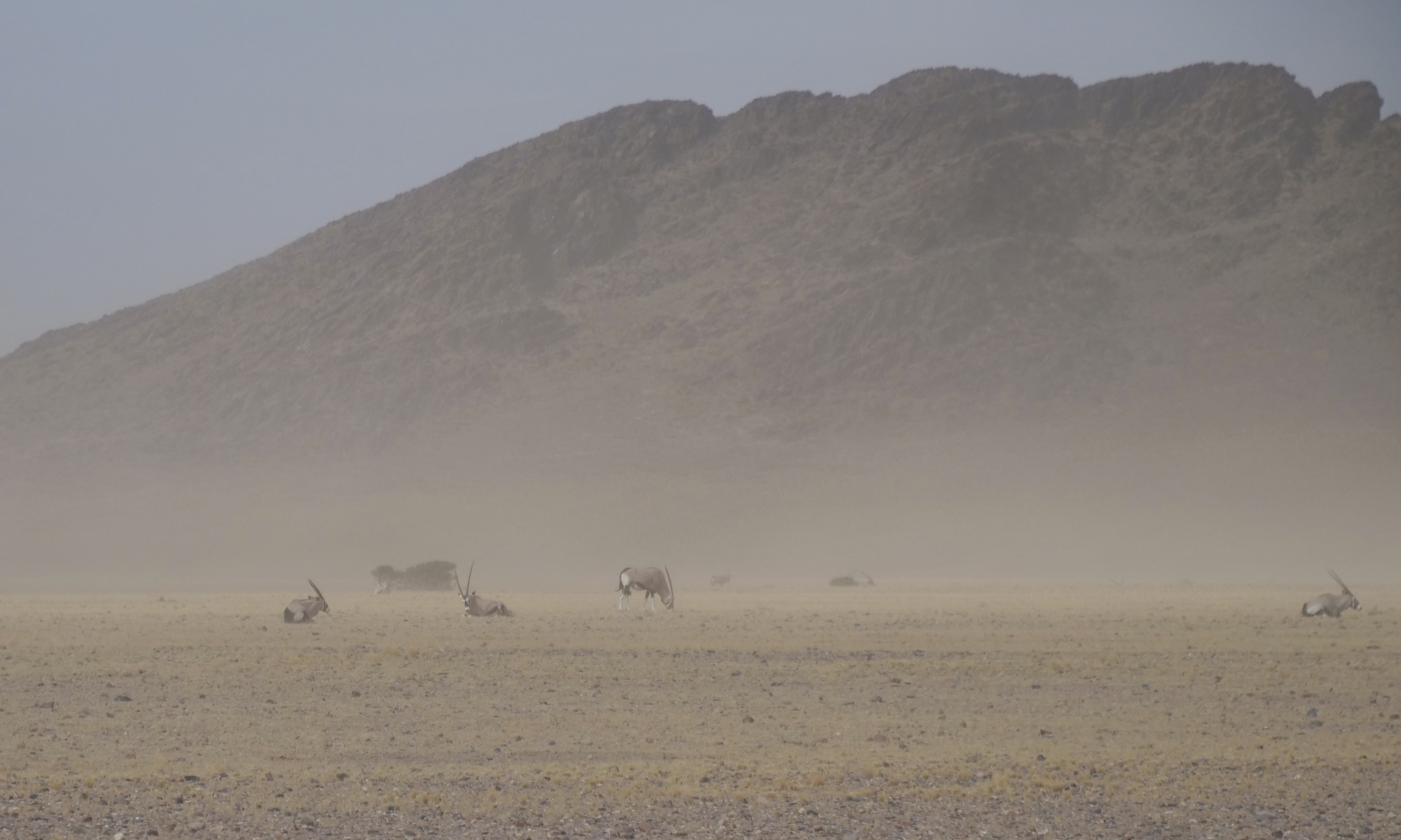
The image looks across private property, once grazed by cattle, but now being “rewilded”.
Its present purpose is “conservation, funded by tourism”, as is true of much of the private land near to the Namib-Naukluft National Park – one of the world’s larger, more remarkable “protected” places.
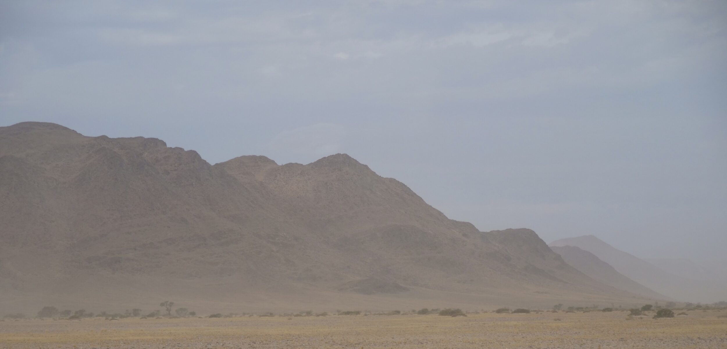
Just one minute later, an appreciable amount of blue sky emerged, and it looked like the dust storm could be about to disappear as rapidly as it had formed…
However, within one more minute it was obvious that the sandstorm was very much alive, still.
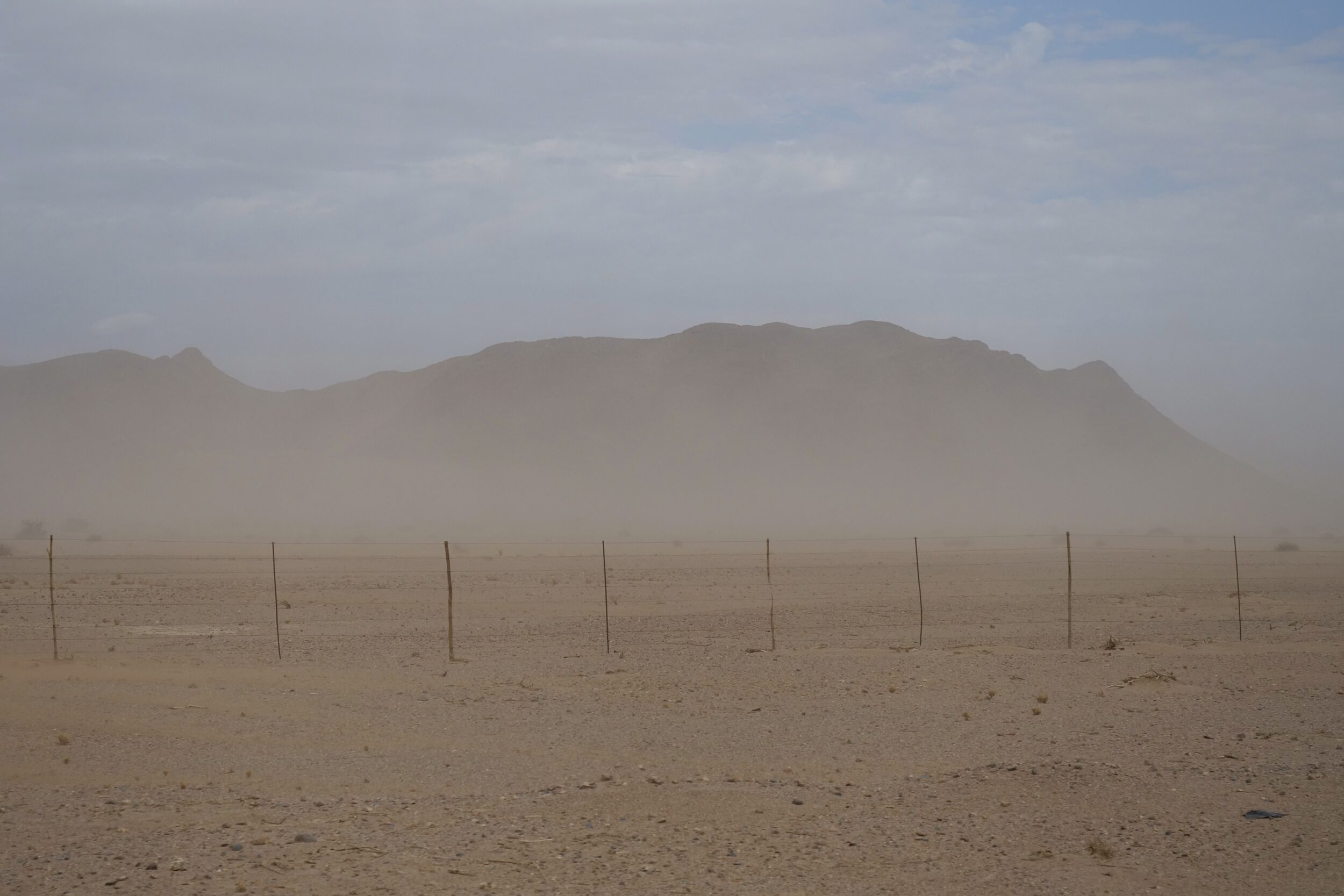
Five minutes later, and now not very many kilometres from our destination (we were, I think, by then already on “the property”) the storm was gathering force and visibility was reducing, further.
The above photo is looking east-ish, I think – certainly, to the side opposite the edge of the Namib’s temporarily-invisible sand sea.
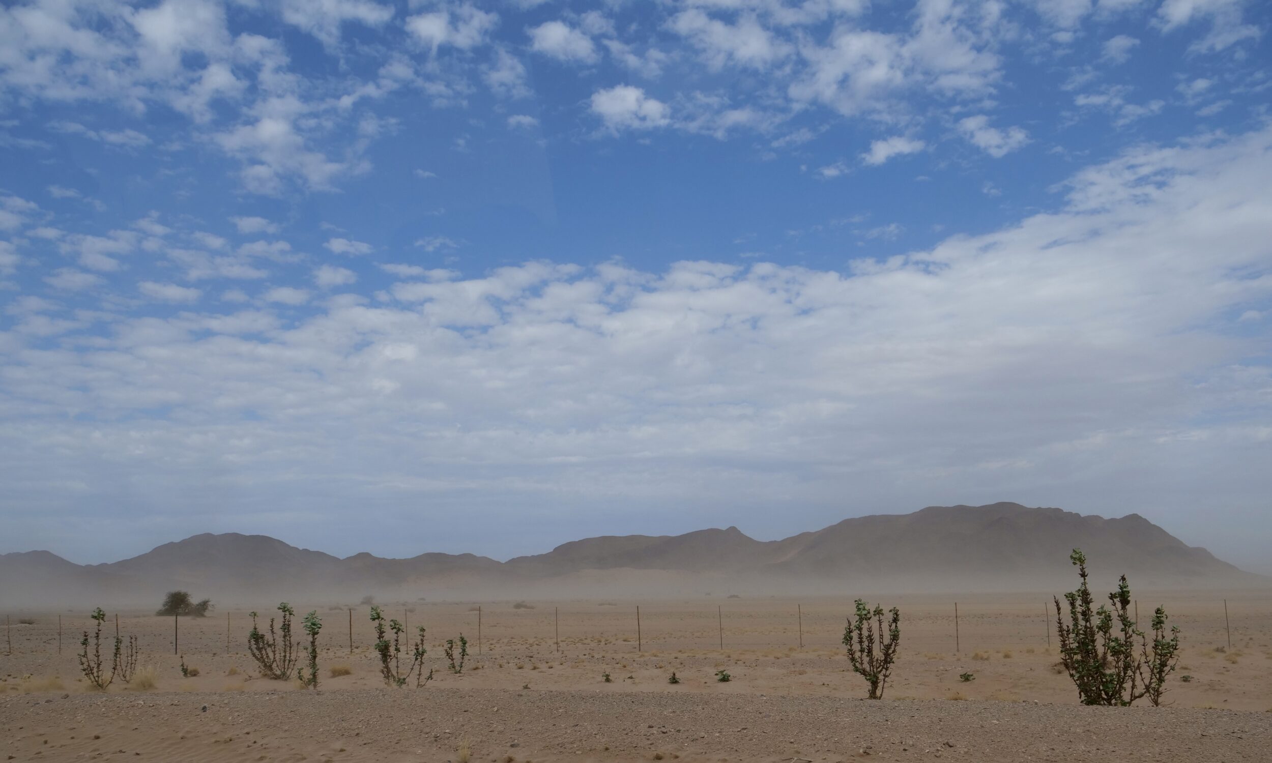
As you will see in the next post’s featured image, which was taken within the same minute as the above picture, if one looked left – toward the big dunes, whence most of the windblown sand was coming – the “visibility factor” was much lower.