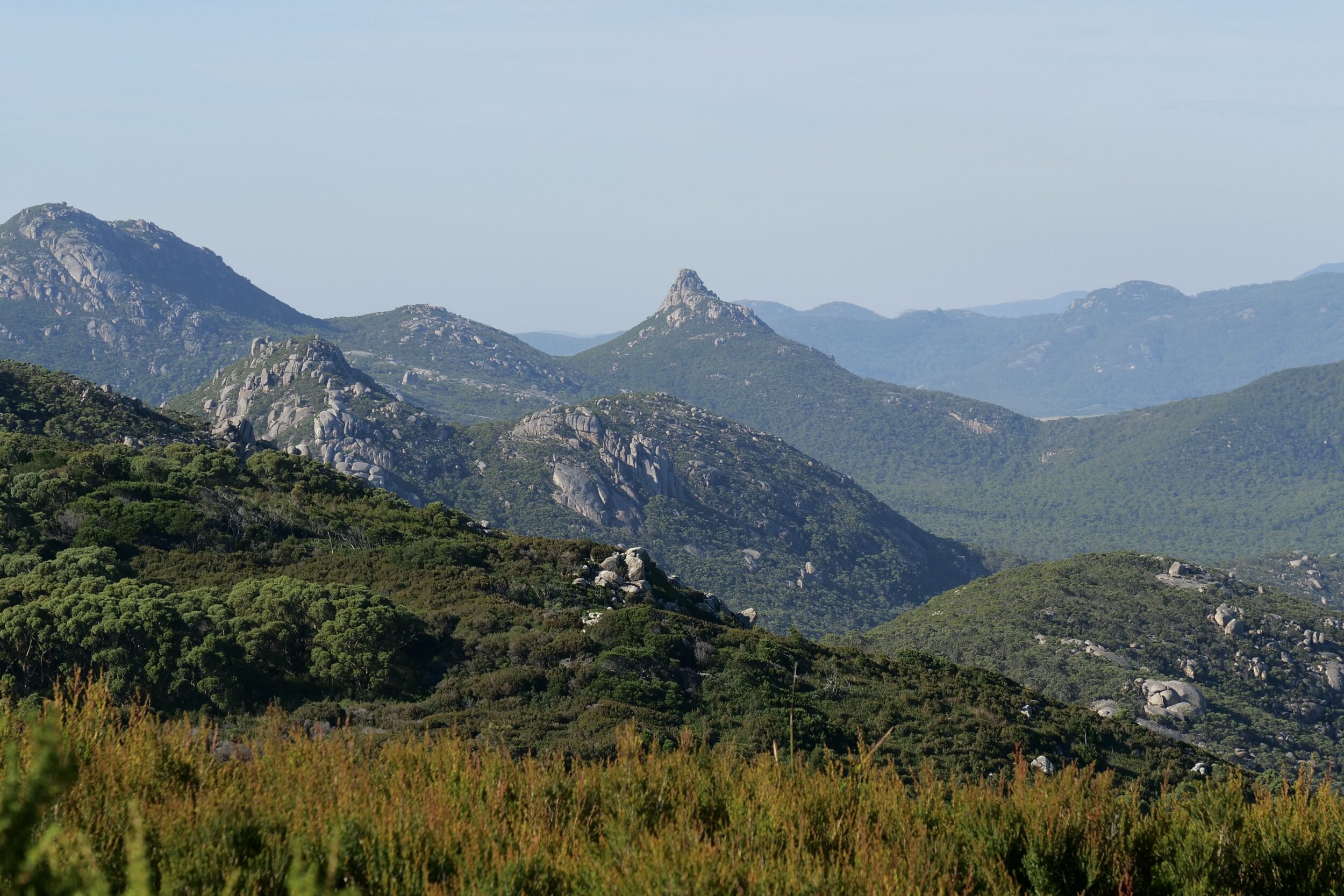
All photos in this post were taken from Walkers Lookout.
(actually, from just slightly below it, which is the better choice, if you are looking south)
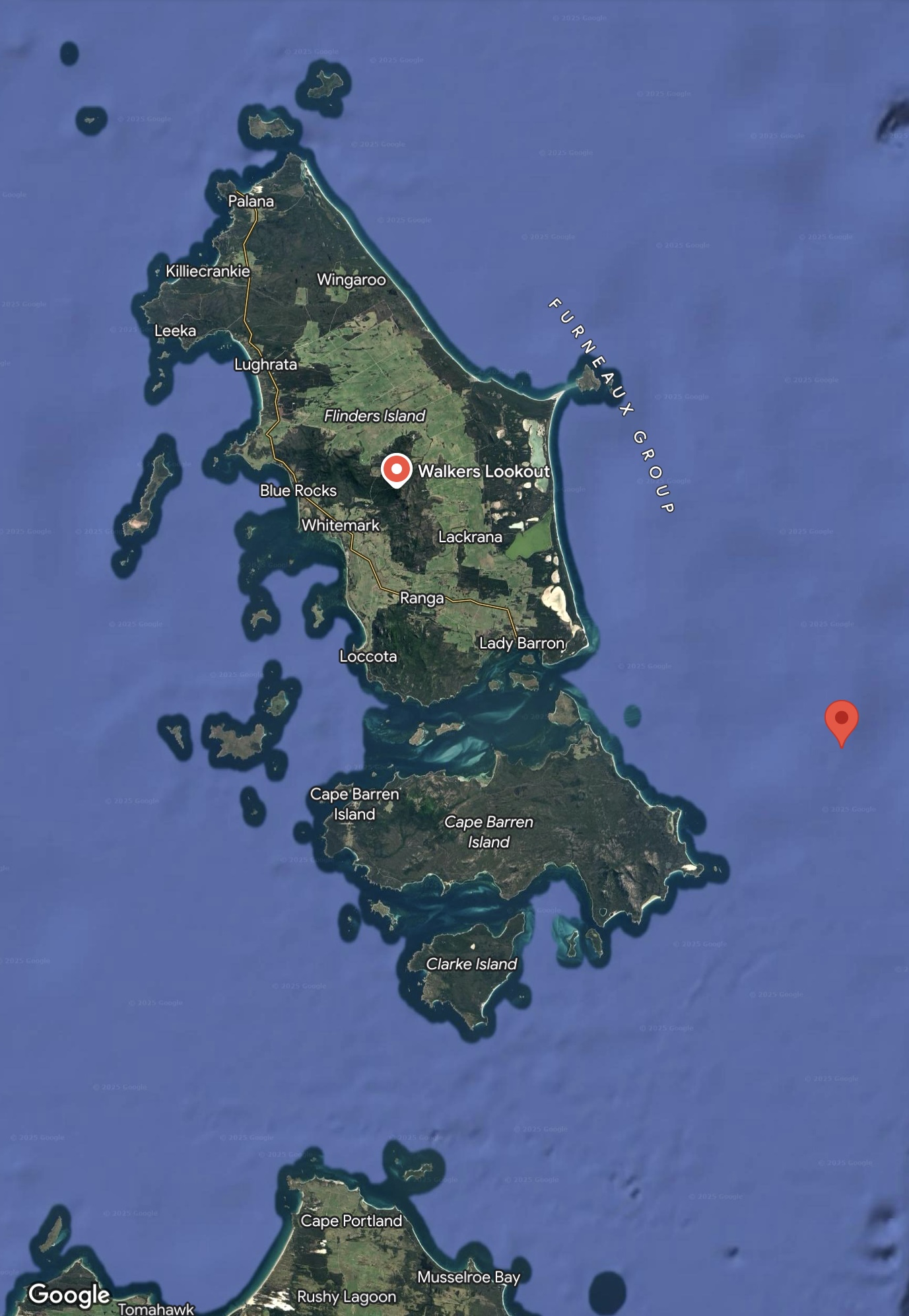
Near to the centre of Flinders Island, Walkers Lookout offers sweeping vistas in every direction, as you can see, here.
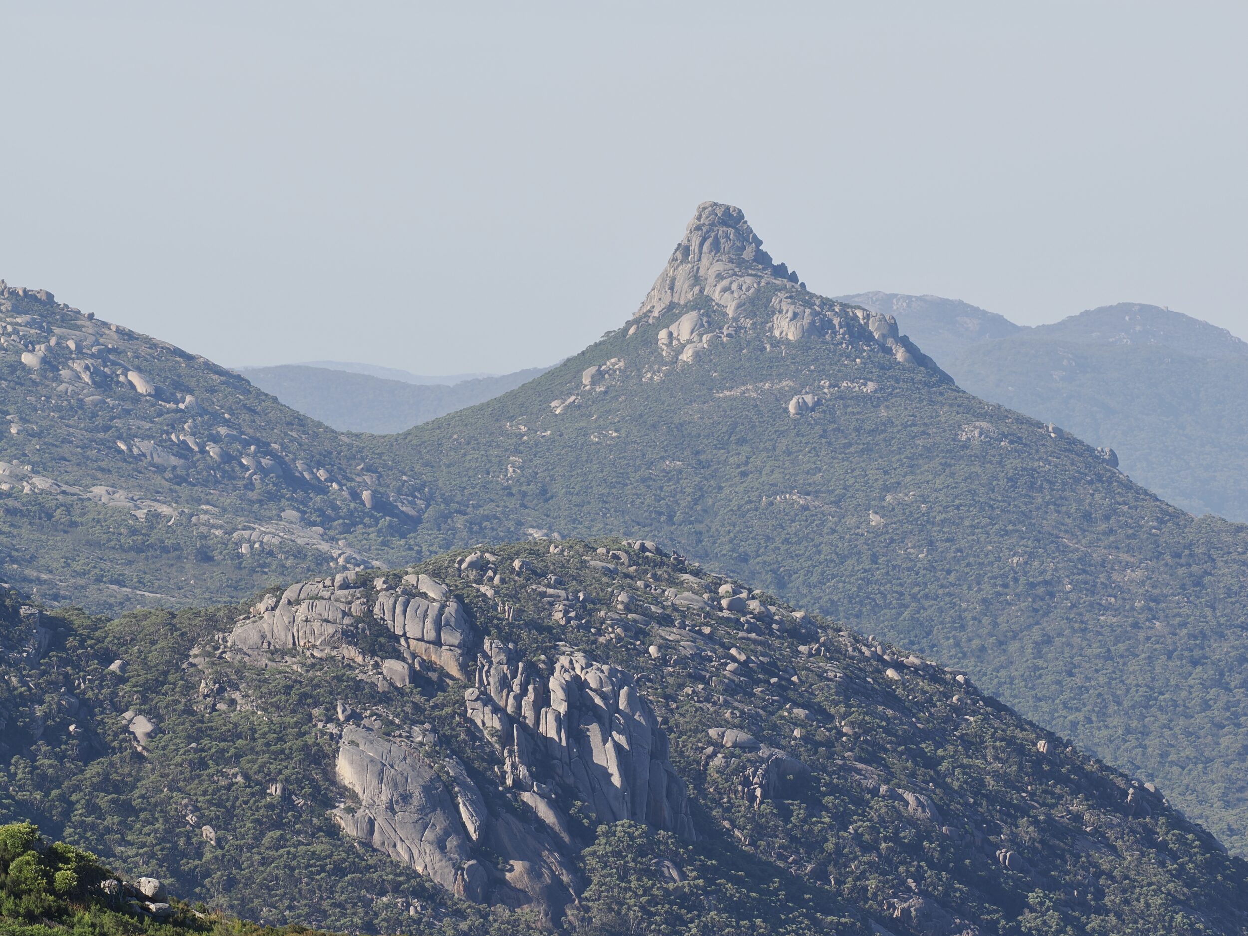
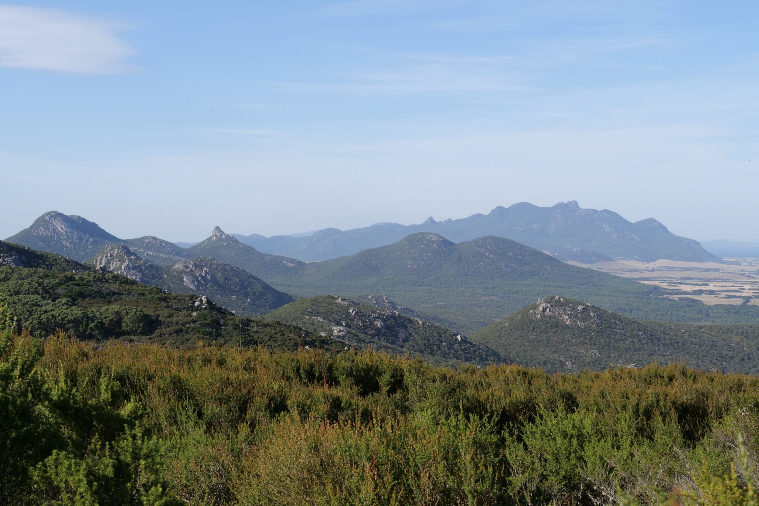
The best views look south, across the Darling Range and then to the much higher Strzelecki Peaks which dominate Flinders Island’s southwestern “corner”…and define the featured image’s horizon.


Pillinger’s Peak – circa 440 metres ASL – is the Darling Range’s most dramatic feature.
Circa one third of Flinders Island is occupied by a rugged/mountainous, granitic spine.
Until about 12,000 years ago, that spine’s peaks were the high points on a “land bridge”.
Humans and other animals used to cross it on their way to and from what are now “mainland Australia” and the Tasmanian “mainland”.
Most of that spine is well-wooded, and in a quasi-natural state.
Most of the plains below have been cleared, drained, fenced, fertilised…and grazed by beef cattle.
Flinders Island is home to less than one fifth of one percent of Tasmania’s humans, but it produces circa 14 percent of Tasmanian beef.


Comments