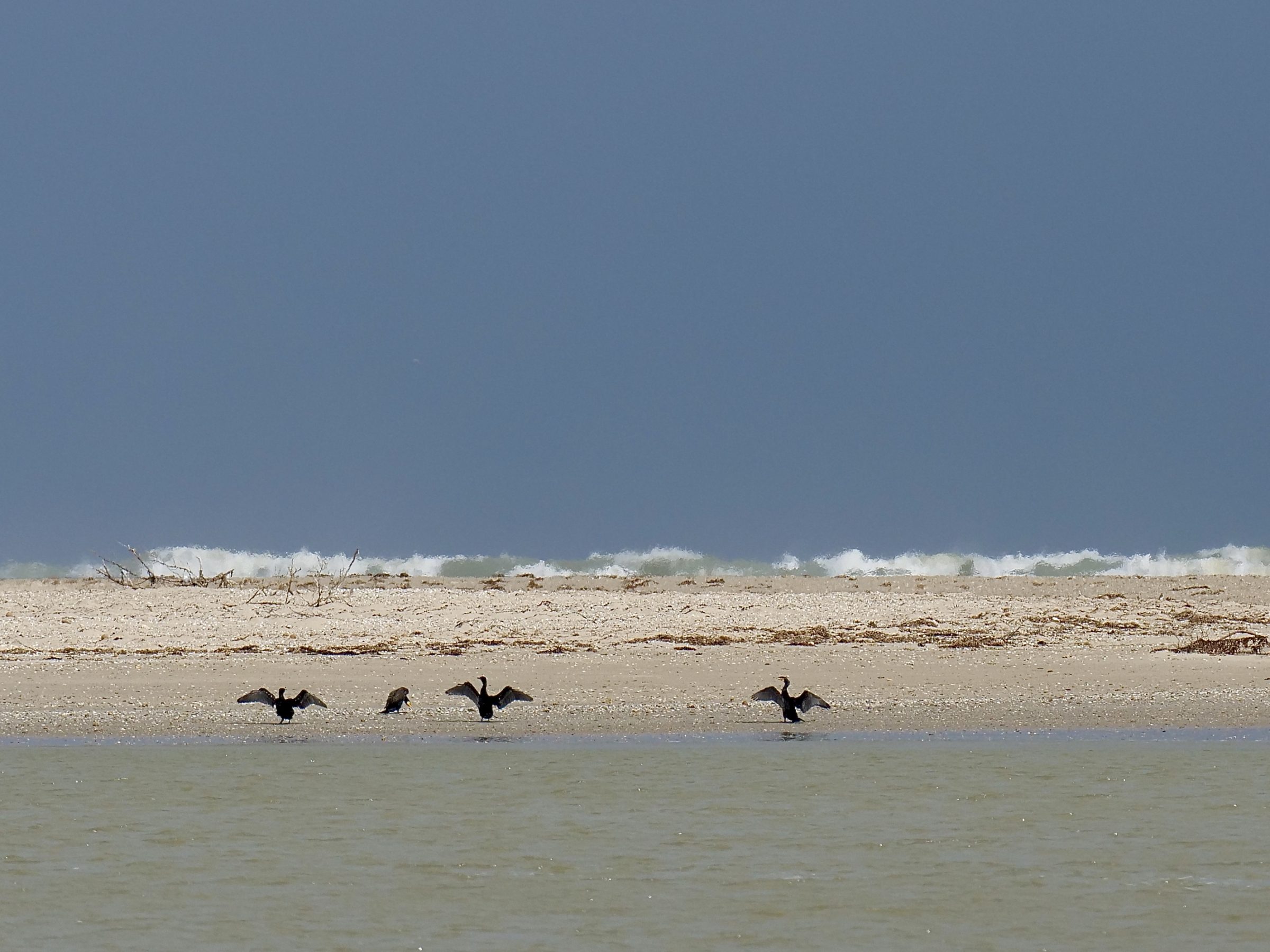
The featured image’s Southern Ocean waves are breaking on the Younghusband Peninsula’s narrowest, northernmost section.
The peninsula’s tip is the southern “lip” of the mouth of Australia’s biggest river system; the cormorants are on the “freshwater side”, as was yours truly at 3.35 pm on 30 March 2022.
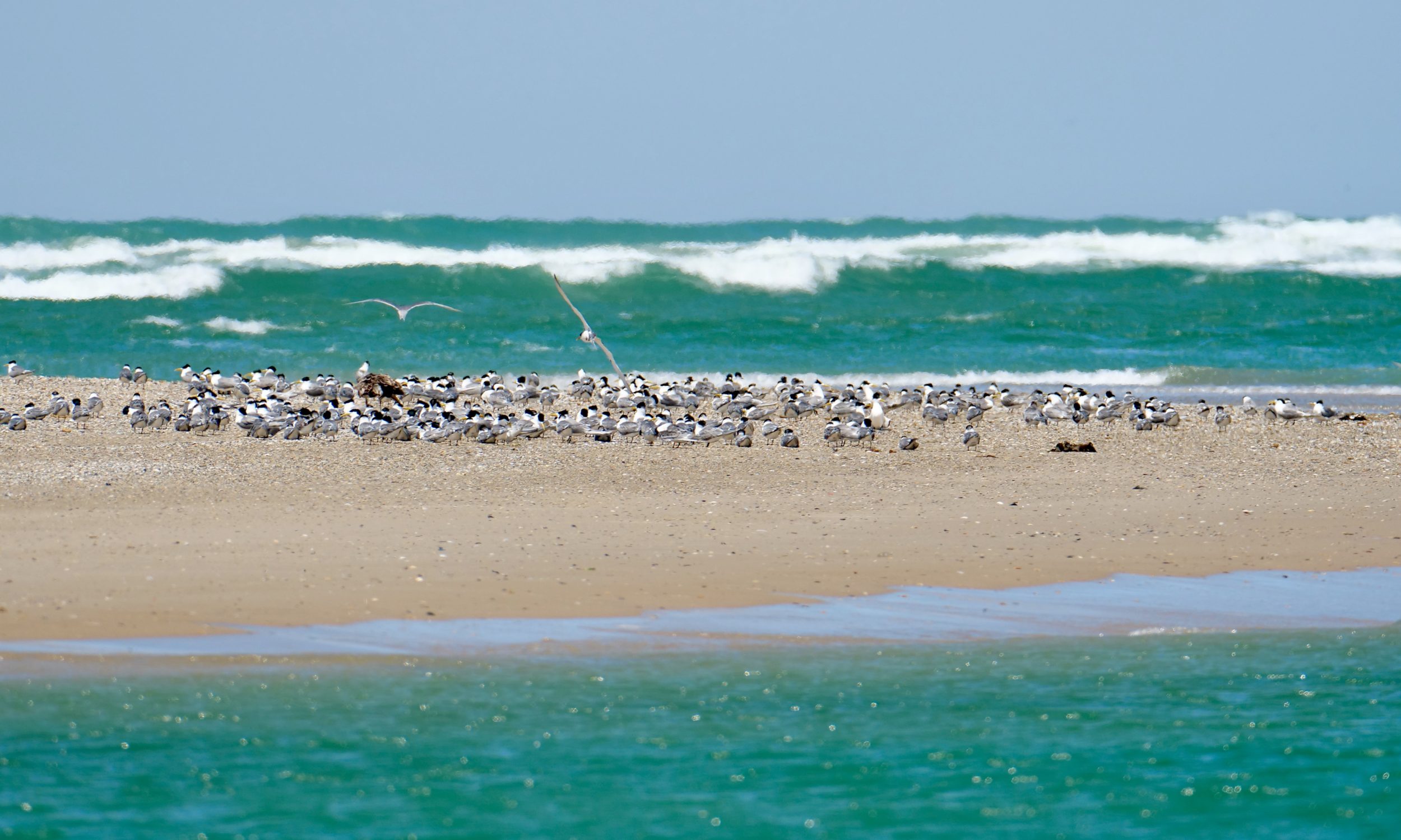
If you have never been to this spot, you may be thinking, “it looks splendidly wild, barely touched by humans”.
Alas, you would be very wrong….
The vantage point for the image below was within a couple of hundred metres of the featured image’s.
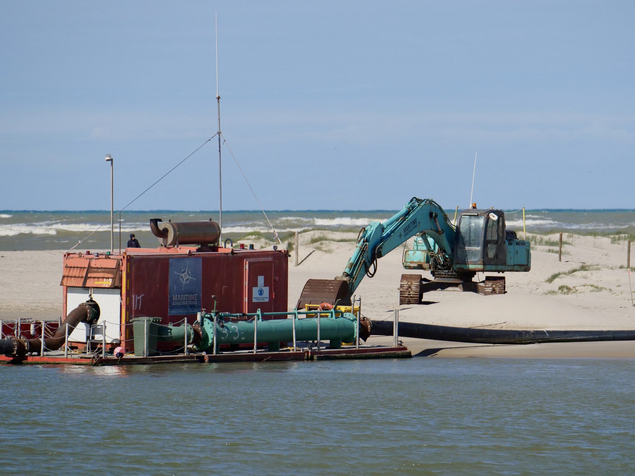
Since January 2015, when two dredges (which resemble Brobdignagian vacuum cleaners more than they do most other dredges) began working “full time” – 7 days a week, 12 hours a day – more than 8.2 million tonnes of sand have been extracted from the Murray mouth.
For seven thousand or more years – until 1981 – the Murray had enough “grunt” to keep its mouth open, unassisted.
Available evidence strongly suggests that throughout those seven thousand years Lakes Alexandrina and Albert (the Murray-Darling system’s lower lakes/“throat”) had almost always contained freshwater – seawater had rarely “encroached”, and the river delivered truly-fresh water to the lakes.
However, in 1981, after nearly two centuries of “settlement”/“development”, the Murray’s flow – now much-depleted, siltier, less “fresh”, more saline – had become too weak; the river’s mouth closed, thereby cutting off the Coorong’s connection to the sea,
A closed mouth prevents the Murray-Darling from discharging/“flushing out” salts it progressively acquires as it flows through its severely-degraded catchment.
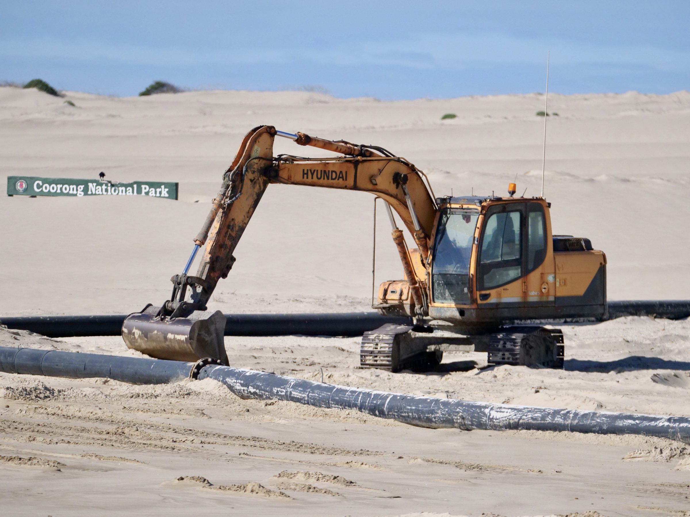
Dredges were deployed to re-open the mouth; they then worked on an occasional basis over the next 34 years, before dredging turned “full time” from 2015…into the foreseeable future.
A manmade problem had necessitated a manmade, partial “solution”.
Click here for a more detailed explanation of why it is necessary to ensure the Murray’s mouth stays open.
In area, the Murray-Darling is one of the world’s major river catchments.
However, no other “major” catchment has such a small average flow; many of the world’s relatively minor catchments typically carry much more water than does the Murray-Darling.
Click this to see the latest River Murray Flow Report.
The first two of the various Coorong National Park maps freely available here will give you a clear sense of where the Murray mouth sits in relation to the Coorong and Lakes Alexandrina and Albert.
The first map takes in the entire “system”; the second shows where the (moving) mouth currently sits.
The second map also gives you a more detailed view of the subject of this post’s sequel – the Younghusband Peninsula side of the northern part of the Coorong-proper.
As you will see, it is a more genuinely “wild” place, and at the moment it is in good health.
So too, relatively speaking, is the Murray’s problematic mouth, thanks to more than a few months’ worth of good flows through Australia’s sometimes-mighty “Big River”.
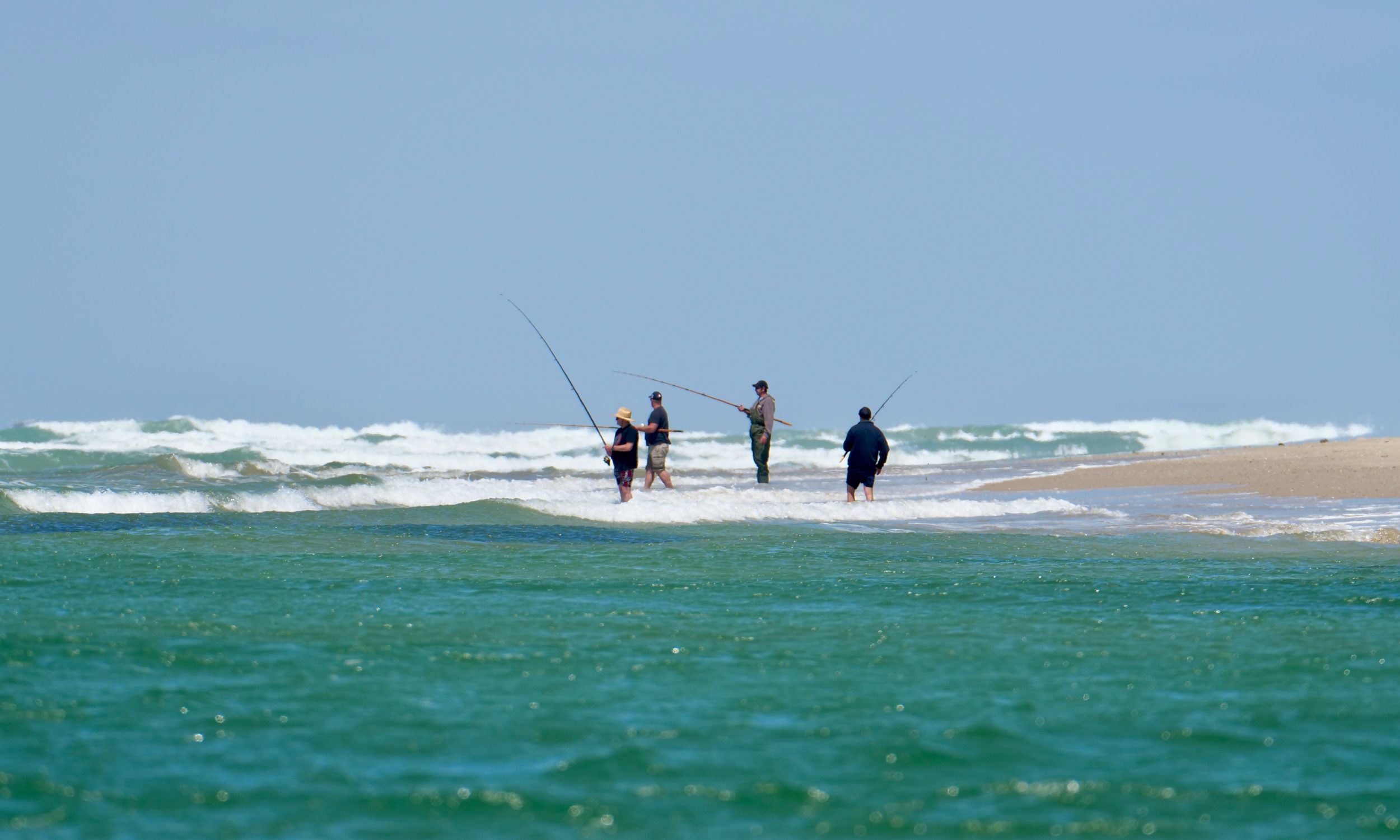
If you love to catch Mulloway…..

Doug, I’ve just watched DVD of “Wash My Soul In The Rivers Flow” – it’s aerial view and insights to the region ( “…. it’s Ruby’s business”) is also a very beautiful and telling map