Remote, yet easily reached – when weather and other drivers have been gentle to its access roads.
Severely degraded – via agricultural activity/malpractice, upstream.
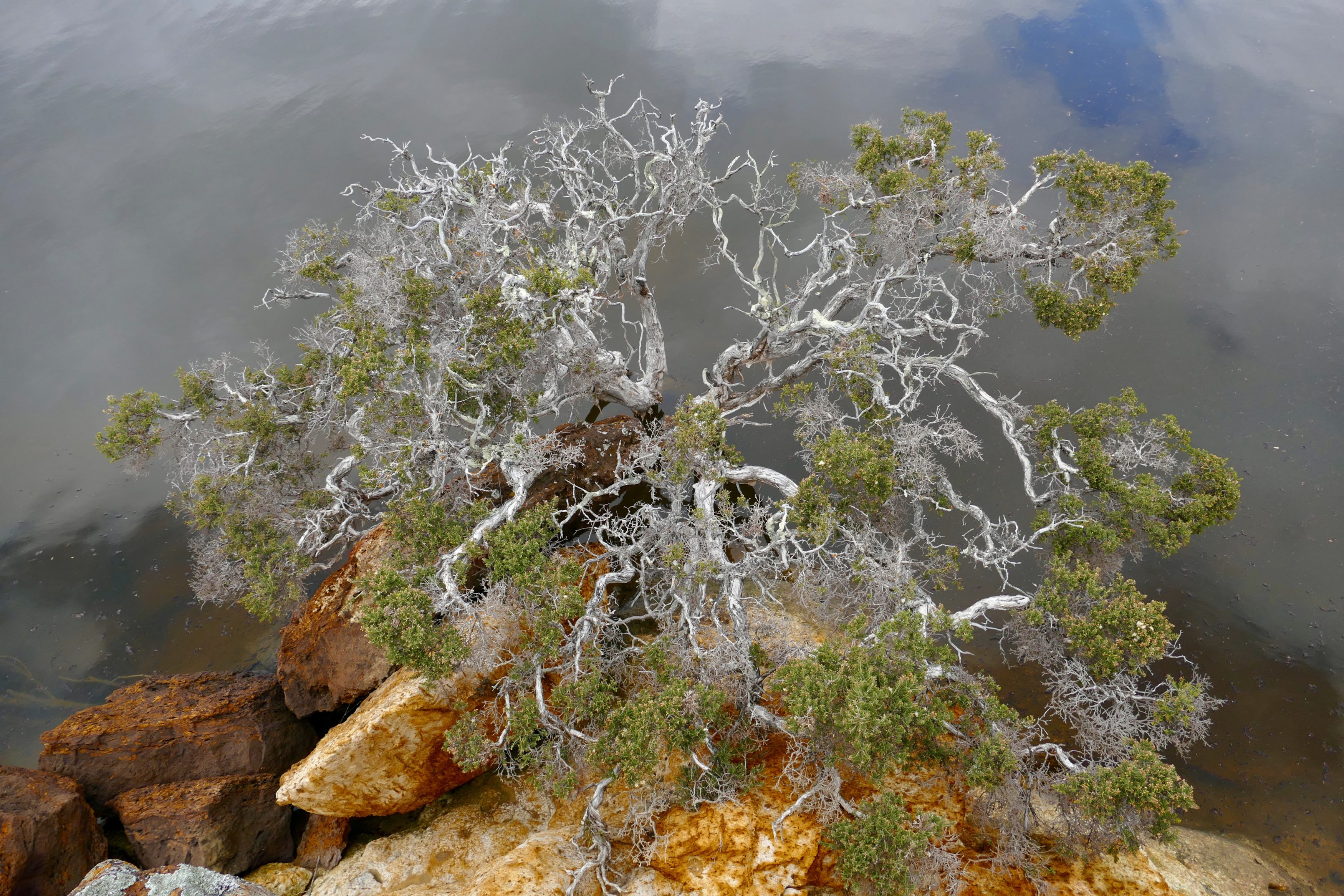
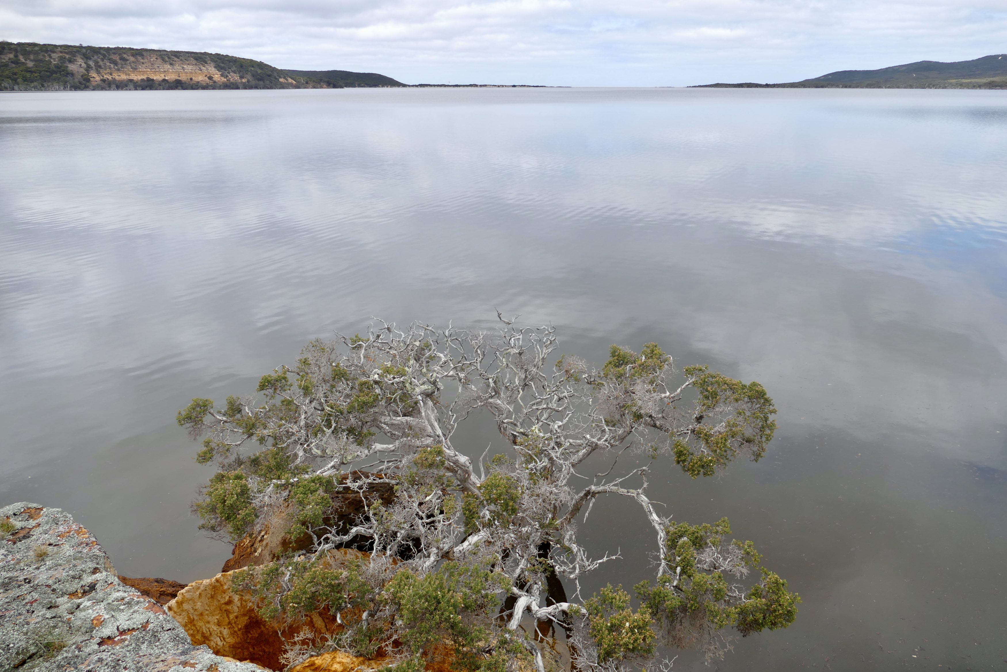
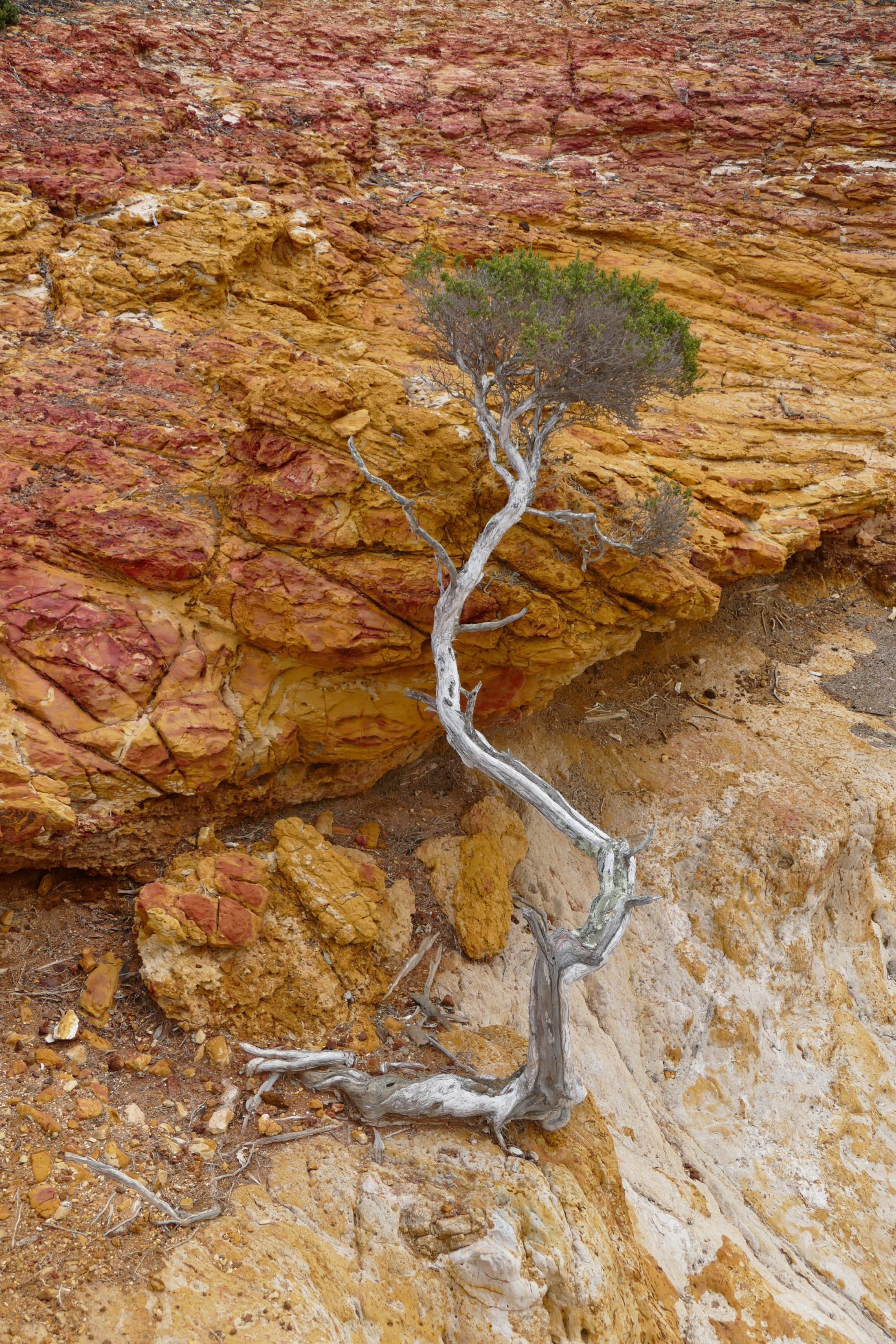
But still beautiful, apparently “wild” – this fragile/resilient place includes Crocodile Rock.
(All photos copyright Doug Spencer, taken 18 September 2017. The above image looks directly down from Crocodile Rock. The one below is a wider view from same vantage point, looking across to where inlet (sometimes) meets ocean)
Many Perth residents – and WA-bound tourists – use “down south” as shorthand for Margaret River, just 270 kilometres from Perth.
WA has a deeper south.
This much bigger, wilder region – The Great Southern – is well south and east of “Margs”.
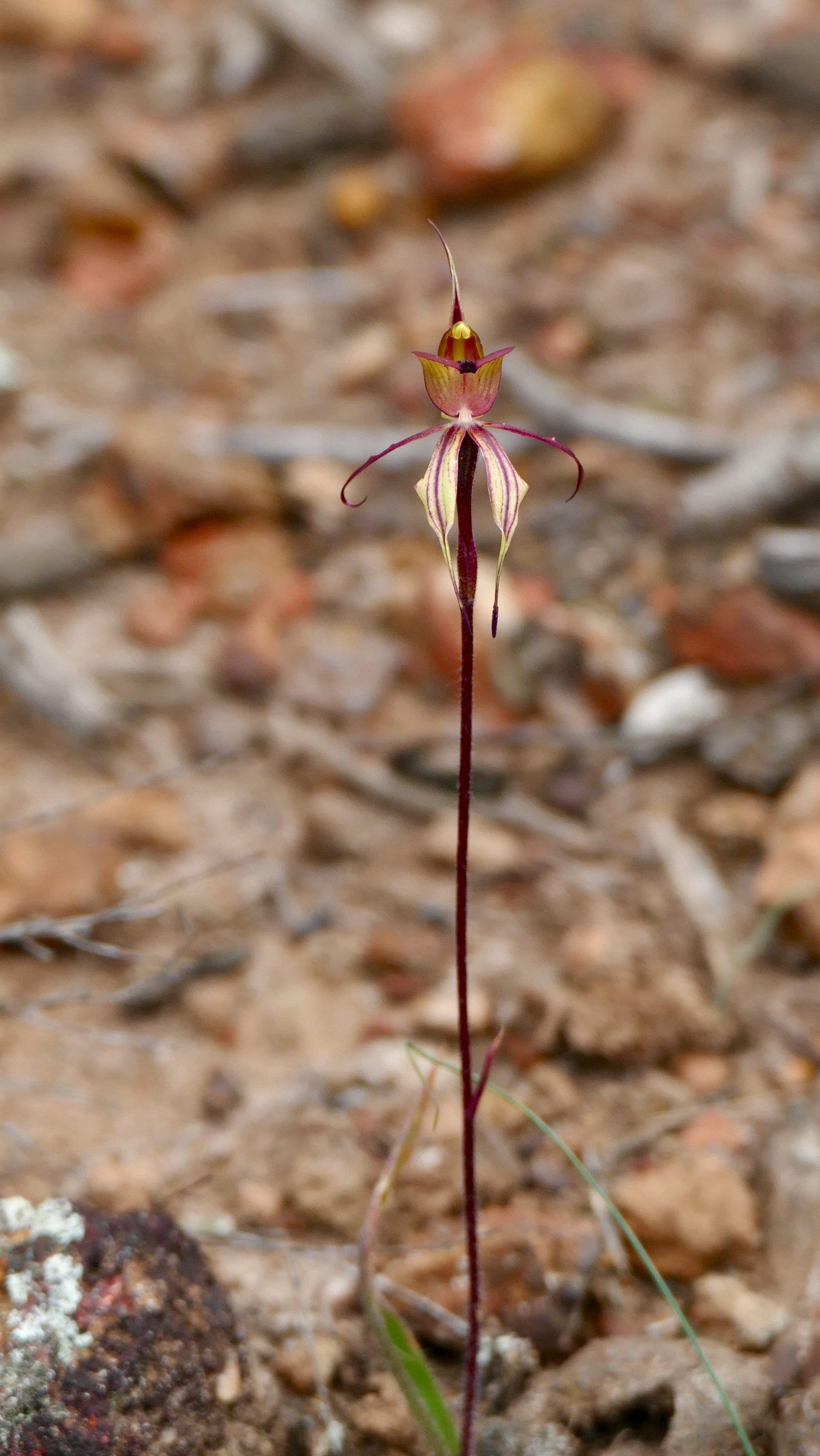
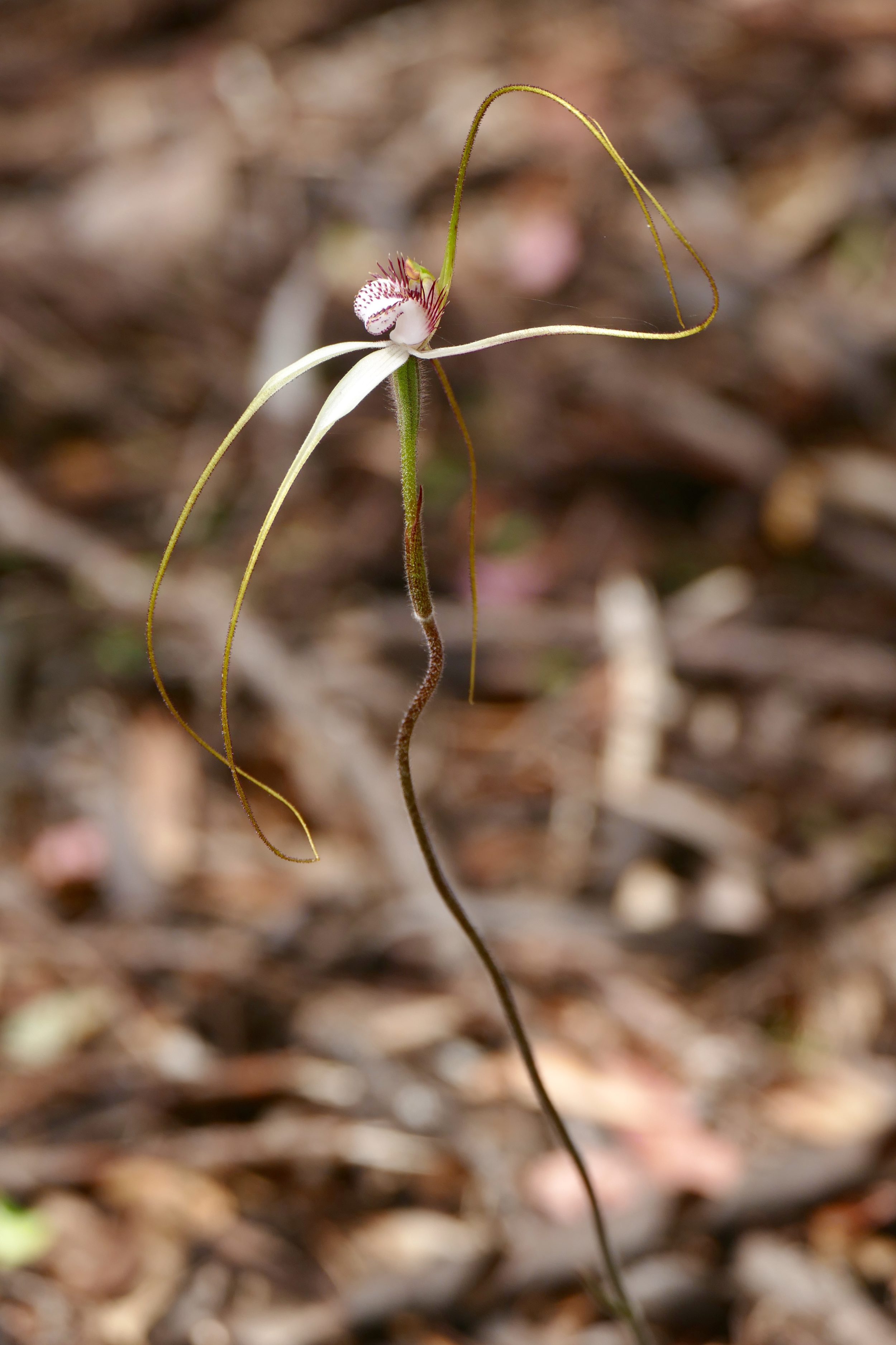
Here, many more species flower, and far fewer people go, or dwell.
Bremer Bay – which will be subject of a future post – is more than 500 ks from Perth; it is only slightly closer to Margaret River.
If you drive to Bremer Bay from Albany, a couple of minutes before you turn right off South Coast Highway you cross the Pallinup River.
A “major” river in local terms, it is modest in world terms.
The local flora is extraordinary in world terms.
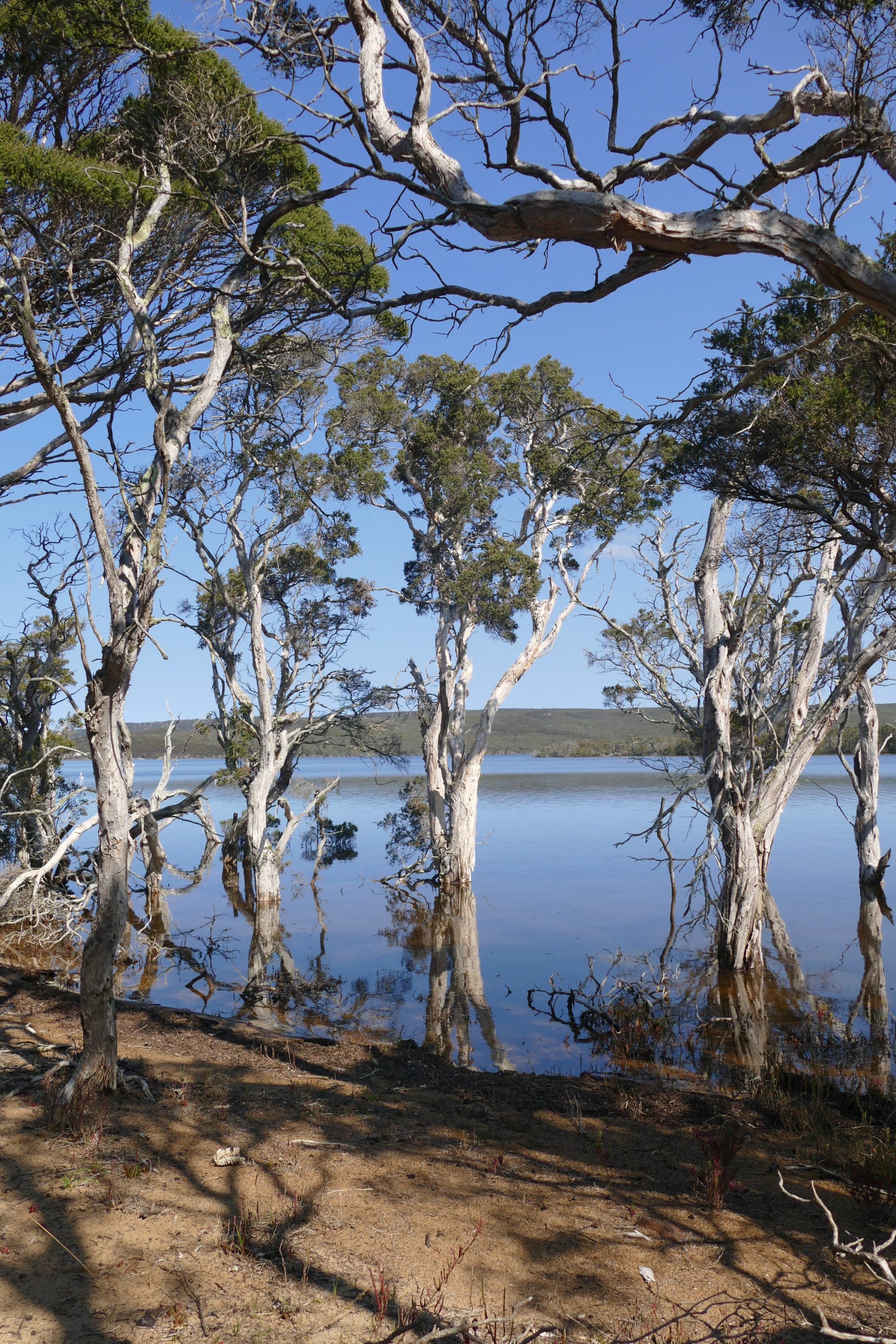
Some kilometres along the road to Bremer Bay, look right for the track to the Pallinup Estuary (aka “Beaufort Inlet“); I think the easily-missed signpost says “Millers Point Road”.
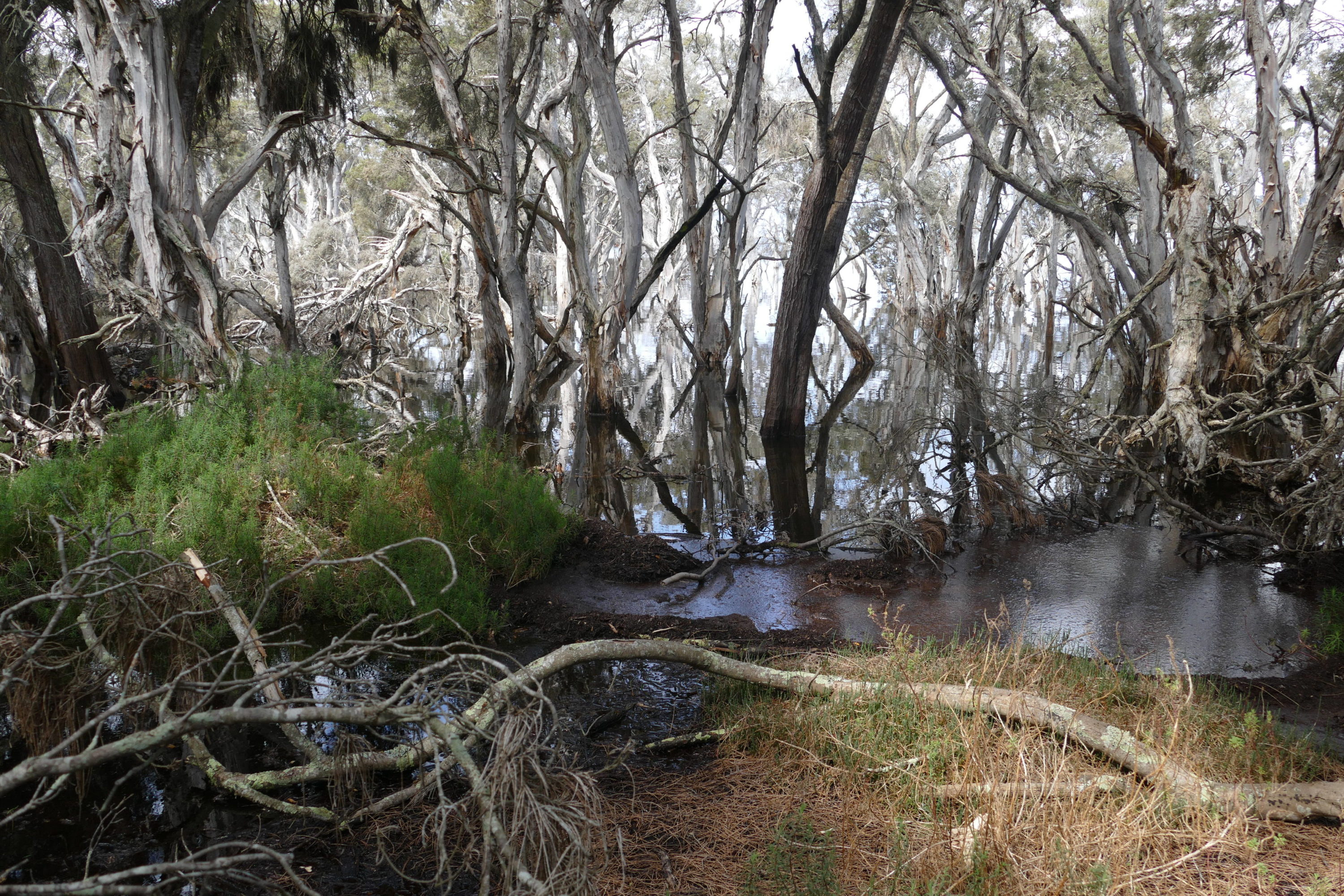
As is true of almost all rivers in southern WA, the Pallinup’s waters are now much too saline to merit the term “fresh”.
As with most southern WA rivers, eutrophication (nutrient overload) is also a problem.
Both issues are byproducts of agriculture, as practiced by relative newcomers to a “strange” land.
(Europeans “discovered” Western Australia in the early 17th century, but did not settle there until more than 200 years later – in 1826 at what is now Albany)
The salinity is the fruit of farmers’ overclearing, the eutrophication is via run-off from the fertilisers they applied to “poor” soils.
(some mass “fish kills” would here occasionally occur, naturally, but fertiliser run-off has greatly increased their frequency)
Only occasionally – and then, briefly – does the Pallinup break through the sandbar that generally stands between its estuary and the Southern Ocean. (it did so, spectacularly, in October 2017)
The inlet’s salinity and water temperature levels fluctuate wildly.
Humans already lived in this region long before Europeans arrived.
Circa 40,000 years before Egyptians built pyramids, Noongah people were already fishing the Pallinup Estuary; they would have had a different name for what we call Crocodile Rock, and they may well have gathered ochre from it.
Those who now know it prize the estuary, as a place to get away from “civilisation”, as a great fishing spot, and for its bush, flora and natural beauty.
In the best sense, there’s almost “nothing there”.
You can discover much more, here
I suggest you also read at least some of the local stories about the Pallinup and its estuary.