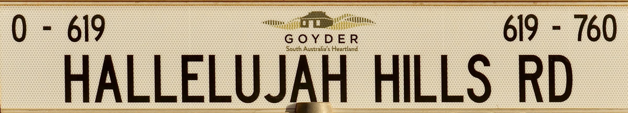
Q: How would you reach the Hallelujah Hills?
A: Most easily, by driving along Worlds End Highway.
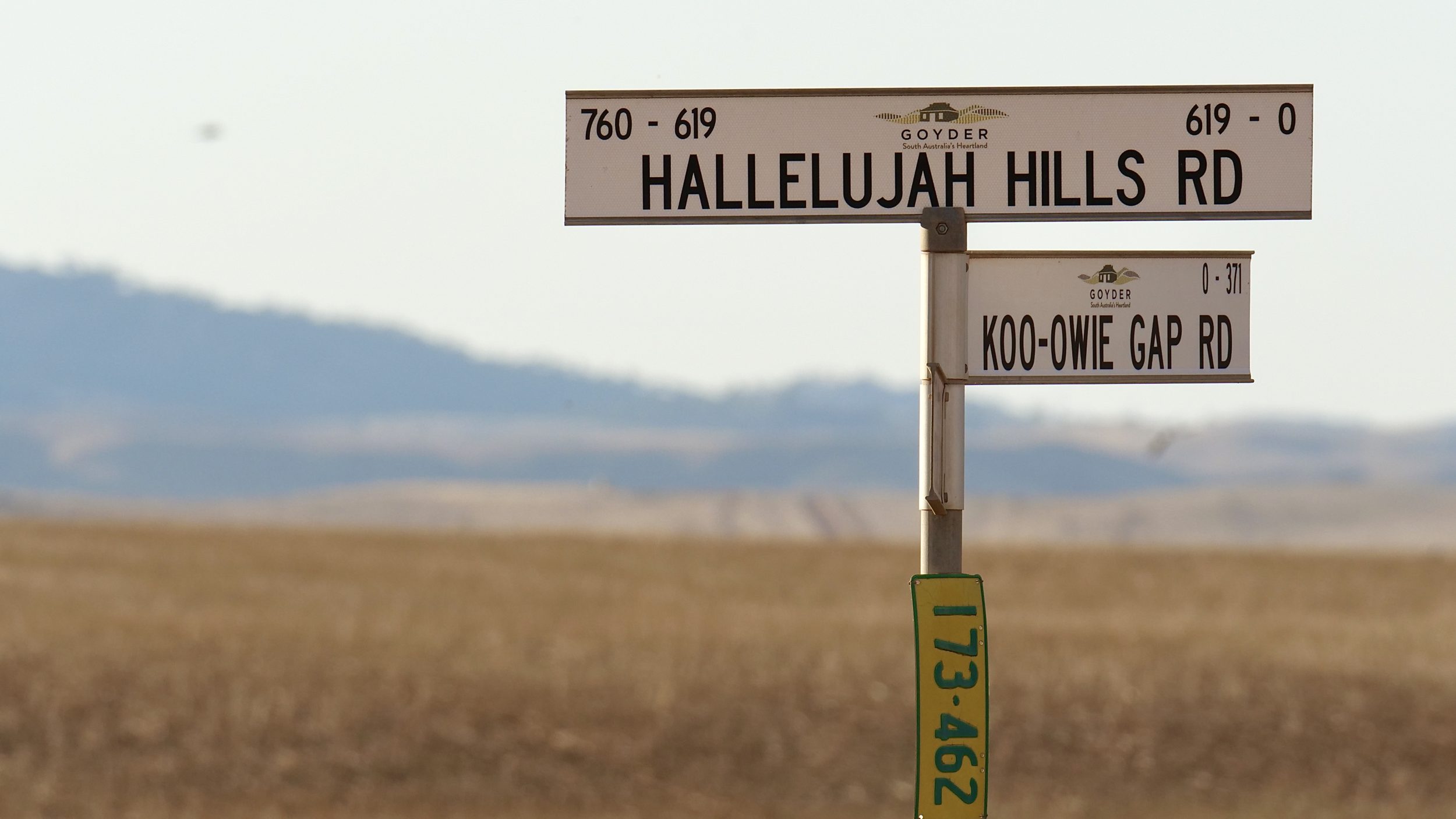
If you are heading north, toward Burra, turn left off World’s End Highway.
If heading south, from Burra, turn right.
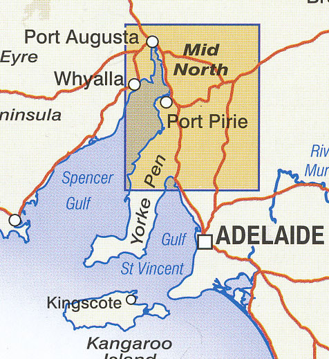
Either way, you are in the Regional Council of Goyder, in South Australia’s Mid North.
Hallelujah Hills is a locality therein, and its eponymous road is the only one that takes you through its actual hills.
Here, one is only just “inside” Goyder’s Line.
Drawn by the then Colony of South Australia’s surveyor-general in 1865, Goyder’s Line marked where “arable” land ended and “marginal” land began.
Shortly after Goyder drew his line, a run of unusually wet years – and the mistaken belief that “rain follows the plough” – led to a spectacular example of “boom, then bust”, as enjoyed/suffered by those who planted crops on the wrong side of Goyder’s Line.
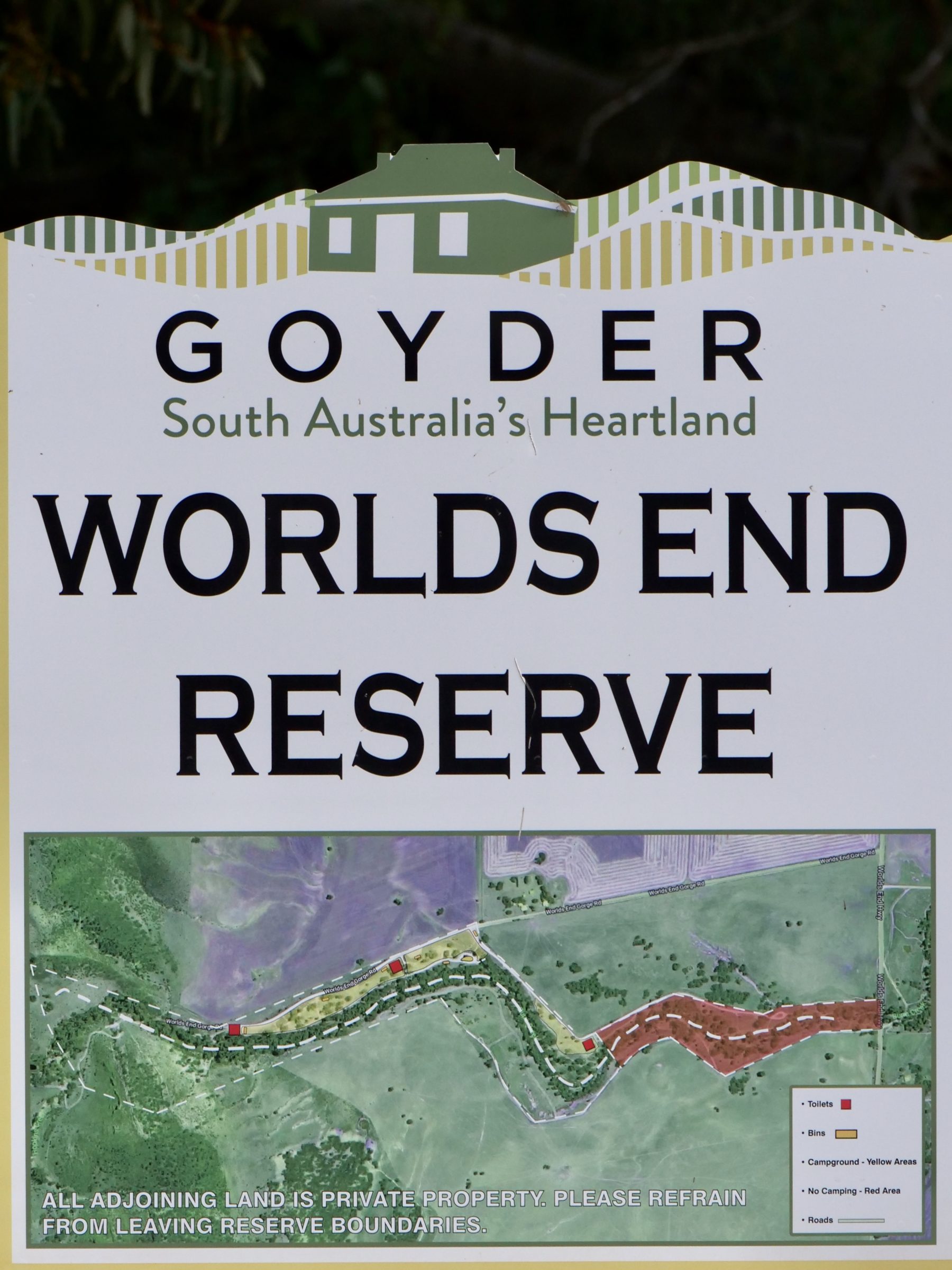
Guess why there are so many 19th century ruins in and inland/adjacent to SA’s Mid North, and why the Burra Creek’s Gorge is “properly” known as Worlds End?
As explained here, “Goyder’s Line” is now moving (or should be moved) progressively further south and south-west, as climate change shrinks South Australia’s “arable” farmlands.
Not all of South Australia’s signs are so easy to explain…nor to read, nor find.
I have visited all continents, bar the frozen one, and have driven cars on four of them.
So, I am reasonably confident in my belief that at least in the so-called First World, South Australia has the worst, most idiotic and oft-entirely-absent road signage.
Where an intersection is “blessed” with a sign, chances are excellent it is obscured and that its tiny and fading letters are nigh-impossible to read. (unless one is a literate bird of prey, or a human who has managed to screech his or her vehicle to a sudden halt, immediately adjacent to said sign)
Even where the destination is “X” and you briefly enjoy a “Eureka!” when said sign says “X”, you should not be complacent!
On a “minor” road in SA, you are quite probably still five more intersections away from “X”; chances are that none of the next four will be signposted, and that you will make the wrong choice/s, even when you follow the seemingly-sensible notion that “well, “X” is the relatively big smoke in these parts, so if I take what looks like the “better” or “most-used” of the two or three now-available options, I should be right”.
On almost any “minor” South Australian road – and on many “major” ones – adjectives like “anticipatory” and “clear” rarely belong in the same phrase as “signage”
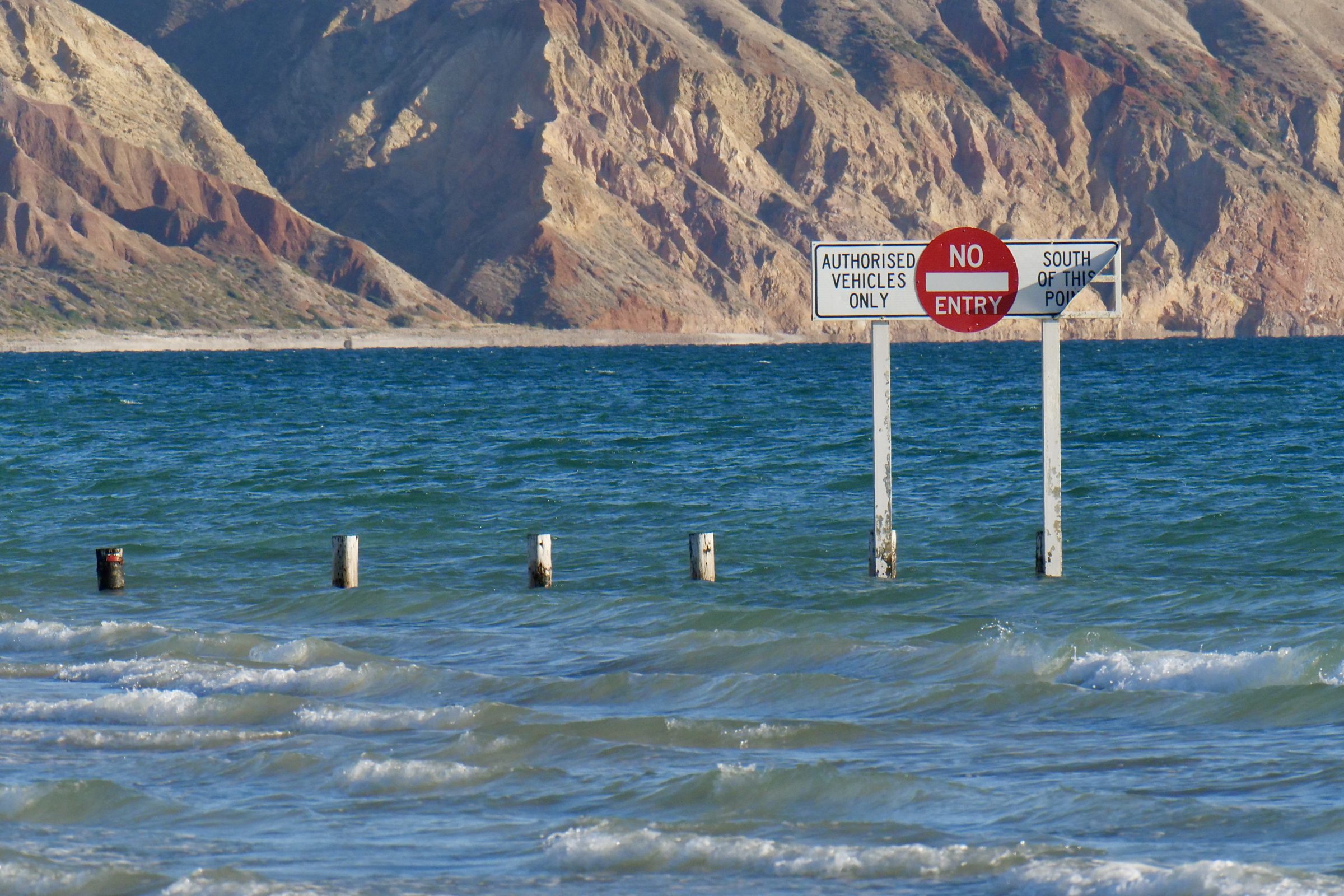
Still, as is true of signage worldwide, SA’s signs can ofter unintended delight.
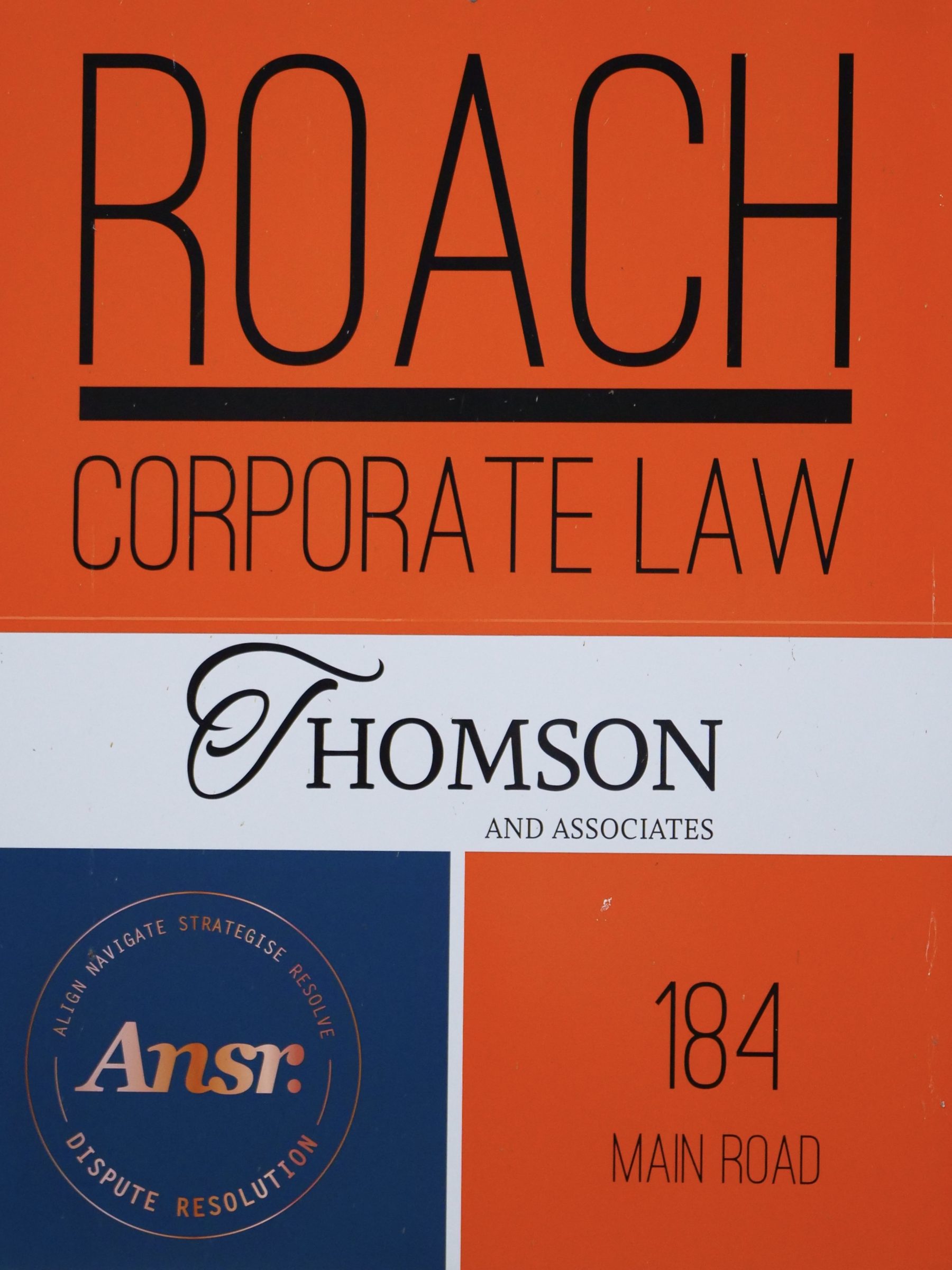
Let us now toast high tides and brave/insouciant legal practitioners…
(Future posts will showcase Worlds End, Hallelujah Hills and a nearby, poorly-signposted but readily-accessible and also-lovely destination. The last-mentioned is on the “wrong” side of Goyder’s Line – and all the better for having been spared the “clearing” which has made much of SA rather less “treed” than is a deal of the Nullarbor)