The Waychinicup River is in fact a modest creek – of approx 17 kilometres, from its headwaters near the Manypeaks townsite to its petite estuary, just before it meets the inlet which is Waychinicup National Park’s signature feature.
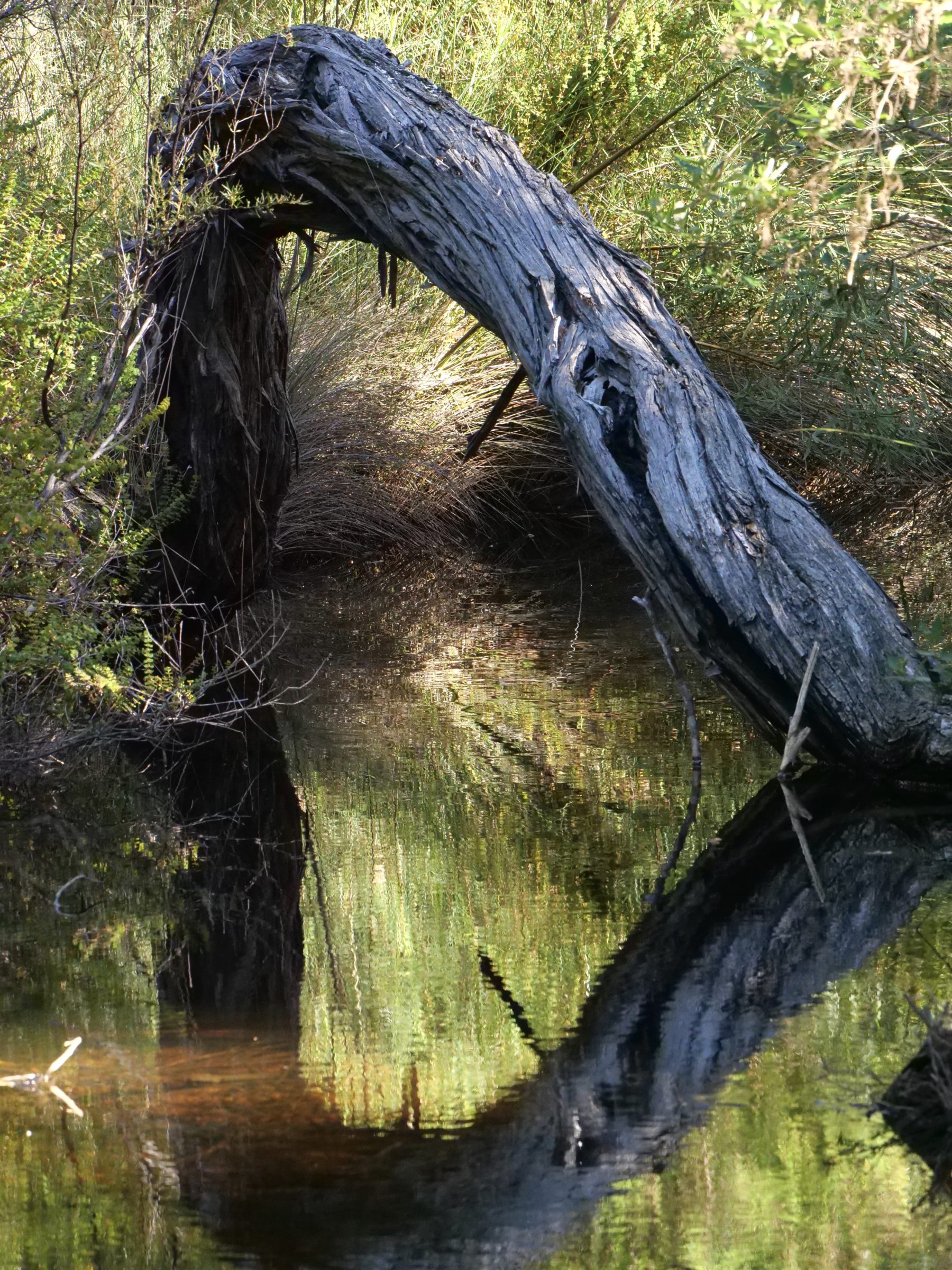
The photo (copyright Doug Spencer) was taken circa 2ks upstream of the inlet, at the point where the access road crosses the river.
Unless there is an exceptional flood event, a 2WD vehicle will have no problem coping with the access road.
if, however, the river is over the road, do not attempt to drive on regardless.
Alight, and check that is safe to walk/drive through the water.
Probably, it will not be dangerous, and you can then drive on.
if the water is safely wadeable, but too deep for safe driving (or the river is in the process of rising, and could leave you stranded, after you have driven in) simply park the car safely, then walk in – it is a very easy 20-30 minute walk from the river crossing to the inlet.
In any event, you should stop the car on your way in or out, and enjoy a walk in the lovely little valley/dip where the road crosses the river.
It is distinctly different to any other part of Waychinicup.
Today’s post and the next few in this series are the fruit of a little walk there on the afternoon of 15 March 2021.