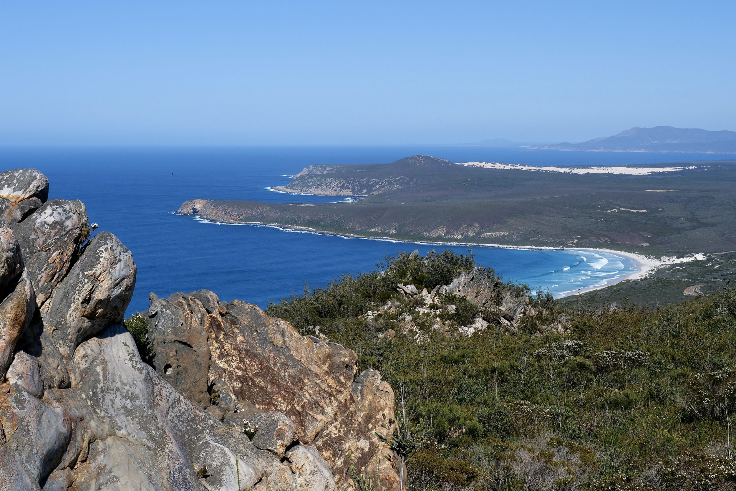
This post enables you to see how West Beach sits within the expansive landscape/seascape of Fitzgerald River National Park’s eastern section.
(the western section is quite different, and equally splendid, but “the Fitz” is huge…so even the view from atop the Hopetoun end’s best vantage point will only give you a view over the park’s eastern section)
The featured image looks west, from just below the top of East Mount Barren, which is just a few kilometres inside the National Park’s eastern boundary, and only a short drive from Hopetoun.
Mylies Beach – named after a local farmer/publican who liked to fish there – is where the waves are rolling in, prominently.
Near the tip of the headland/peninsula which juts out from the western end of Mylies Beach you can see the shadowed section that is Cave Point.
West Beach is the little beach on the far/western side of the headland.
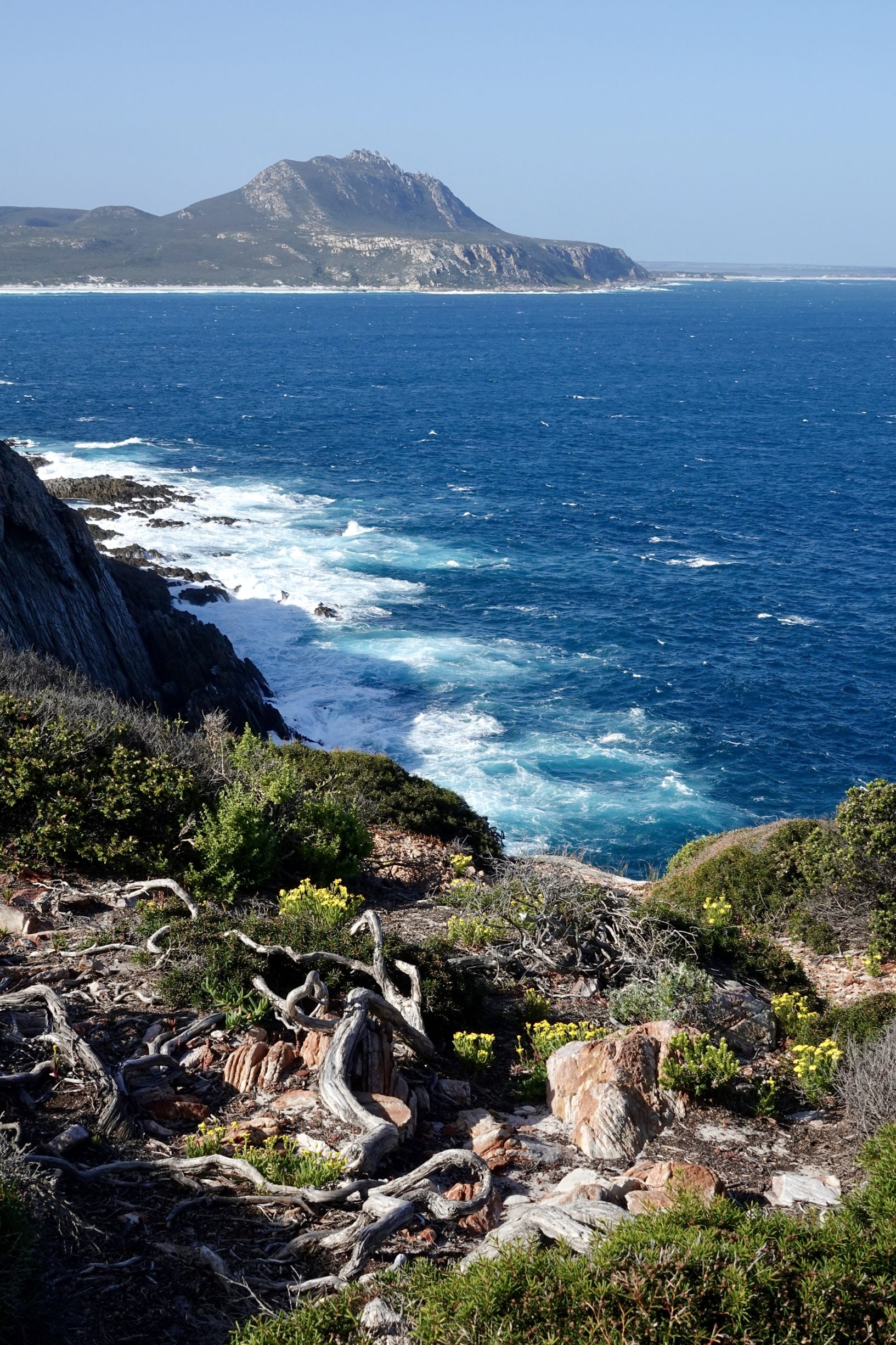
if you were on the Cave Point Lookout, looking east to East Mount Barren, this is what you would see:
The walk up East Mount Barren is not especially difficult, and it is very rewarding; the 360 degree view from the top is magnificent, but equally so are East Mount Barren’s own plants and rocks.
This post’s featured image was taken at 9.38 am on 21 September 2021.
Coming soon on Pelican Yoga: two posts derived from that morning’s ascent/descent of East Mount Barren.