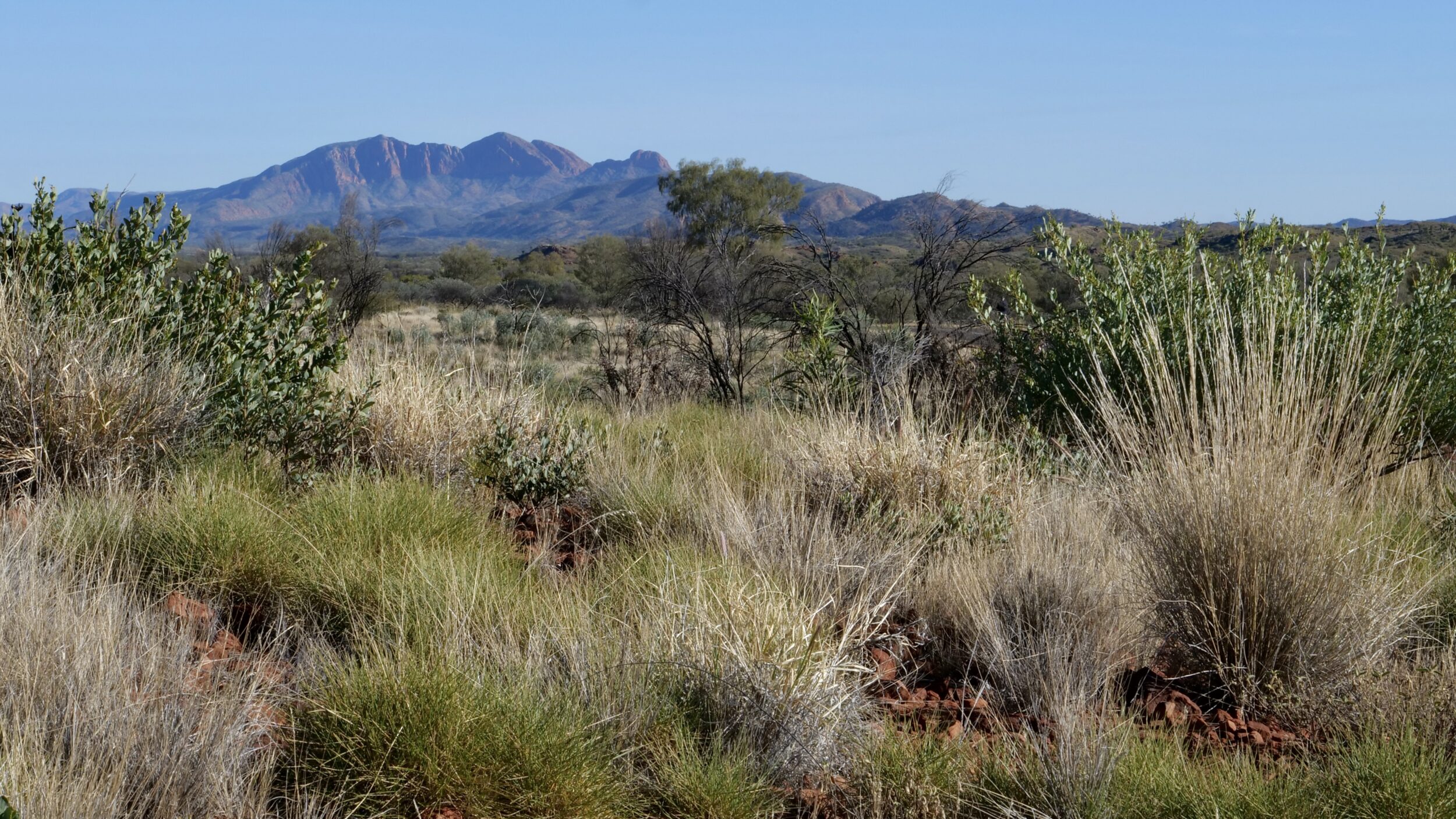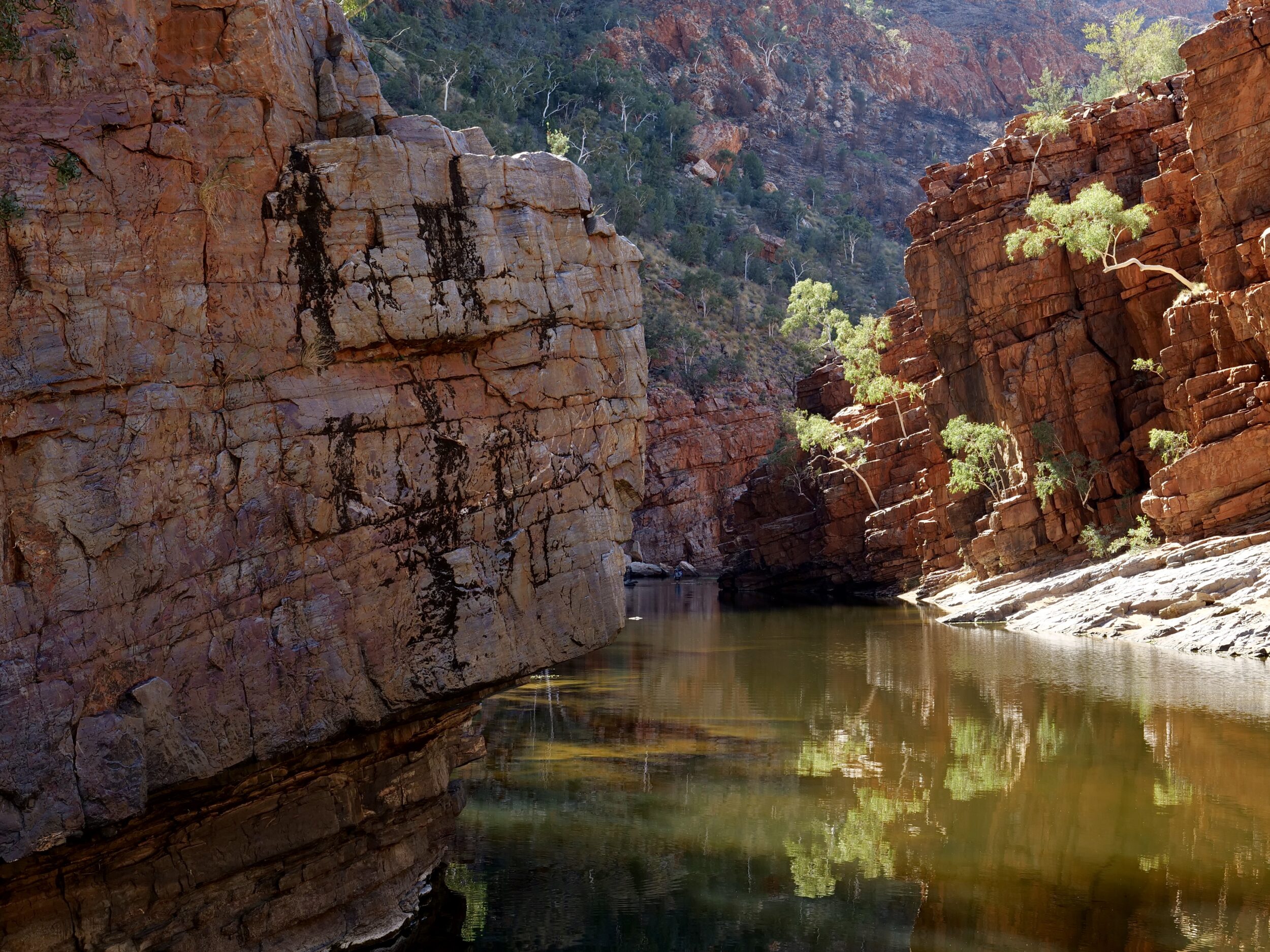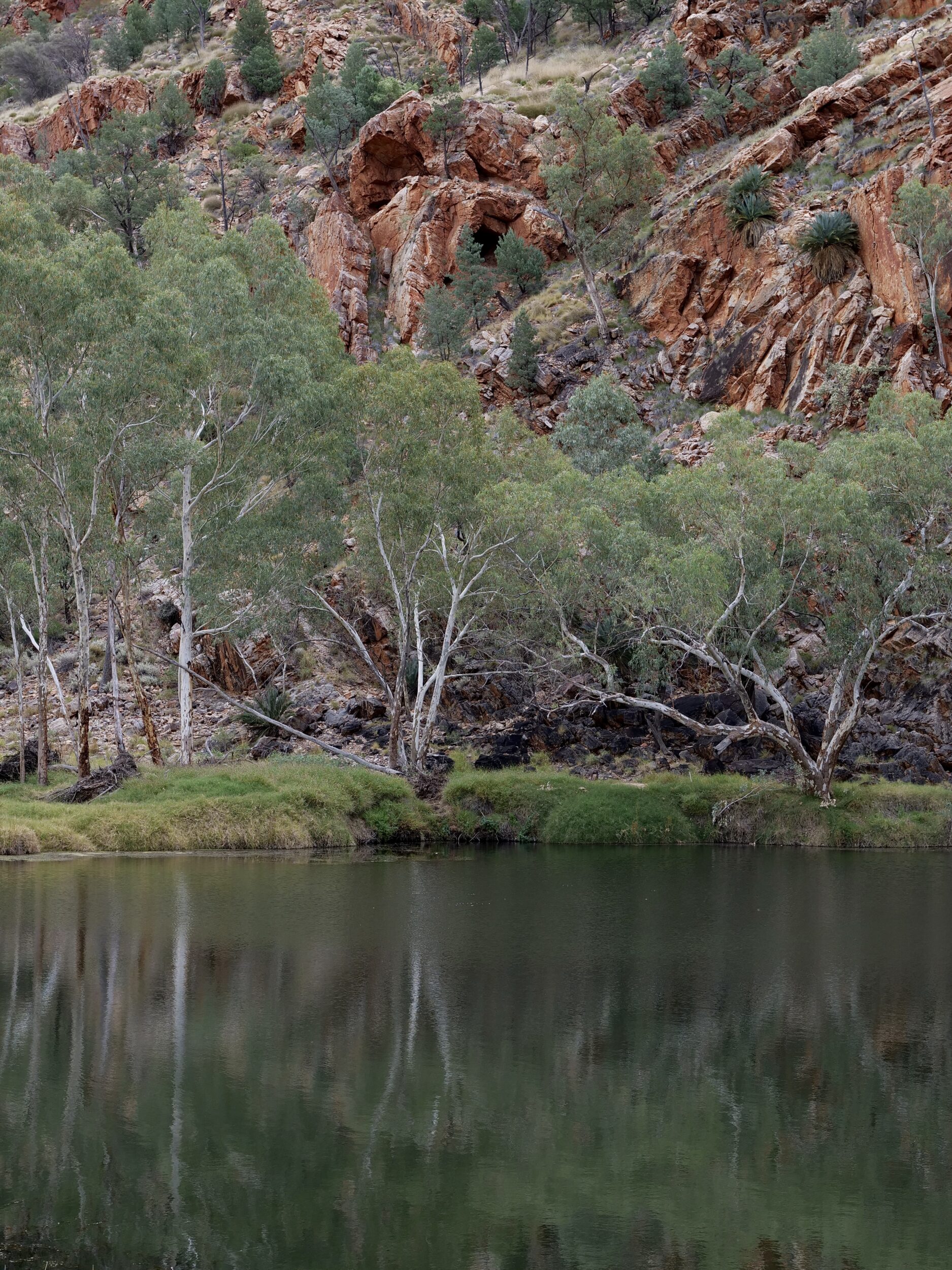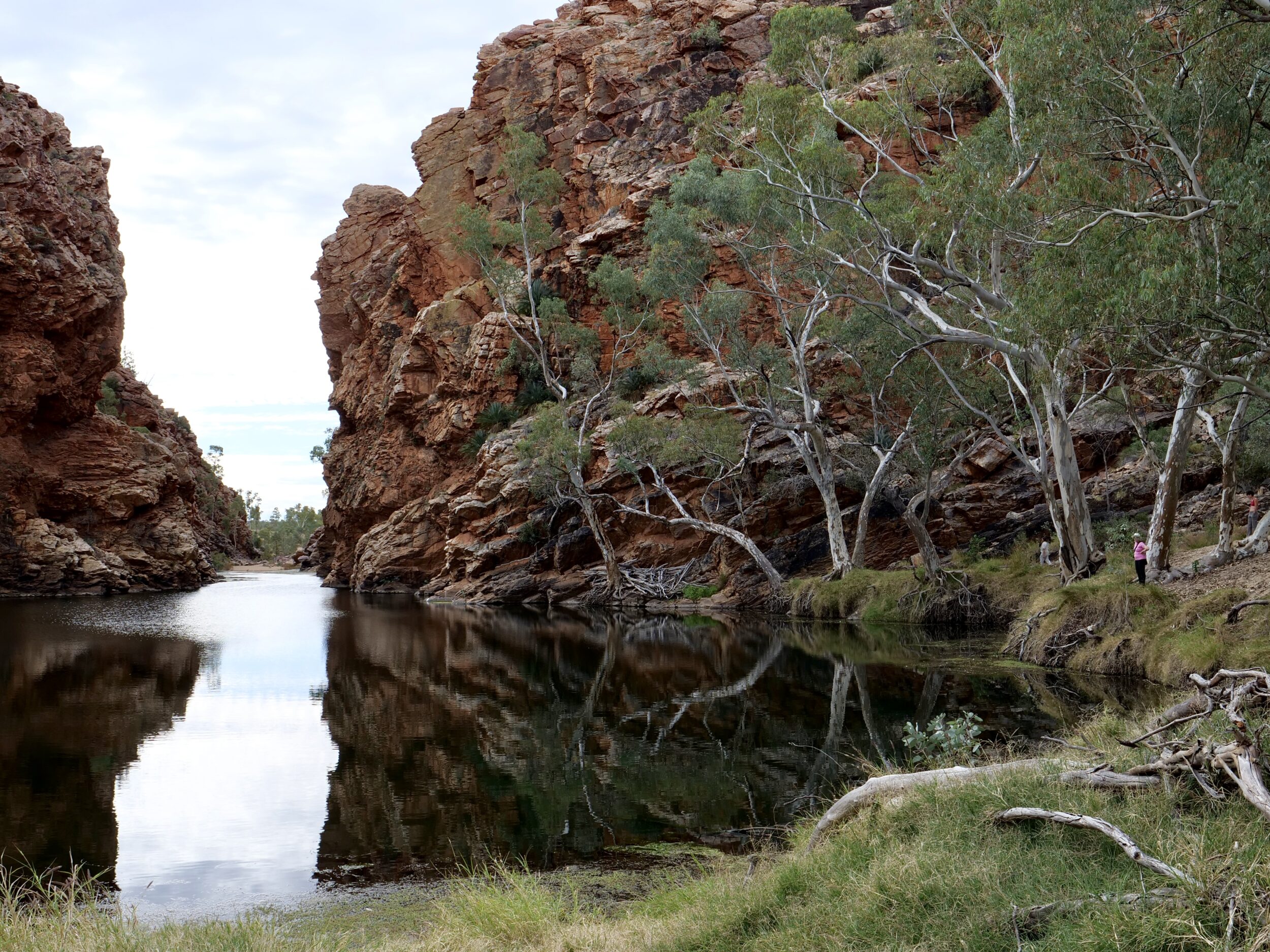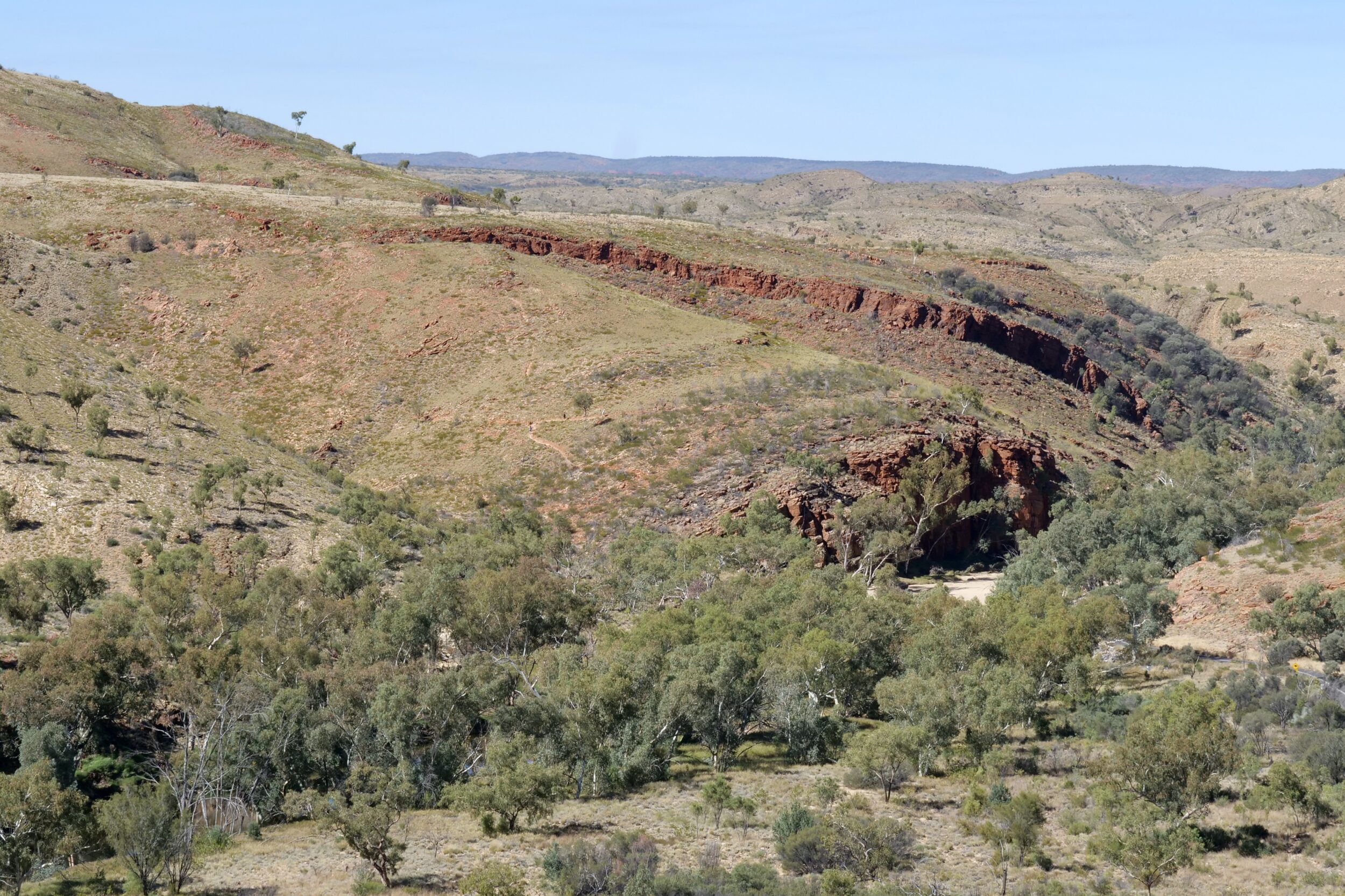
Desirable qualities in a beach:
1. A glorious, entirely natural setting, not ruined by “development”.
2: Uncrowded, clean sand.
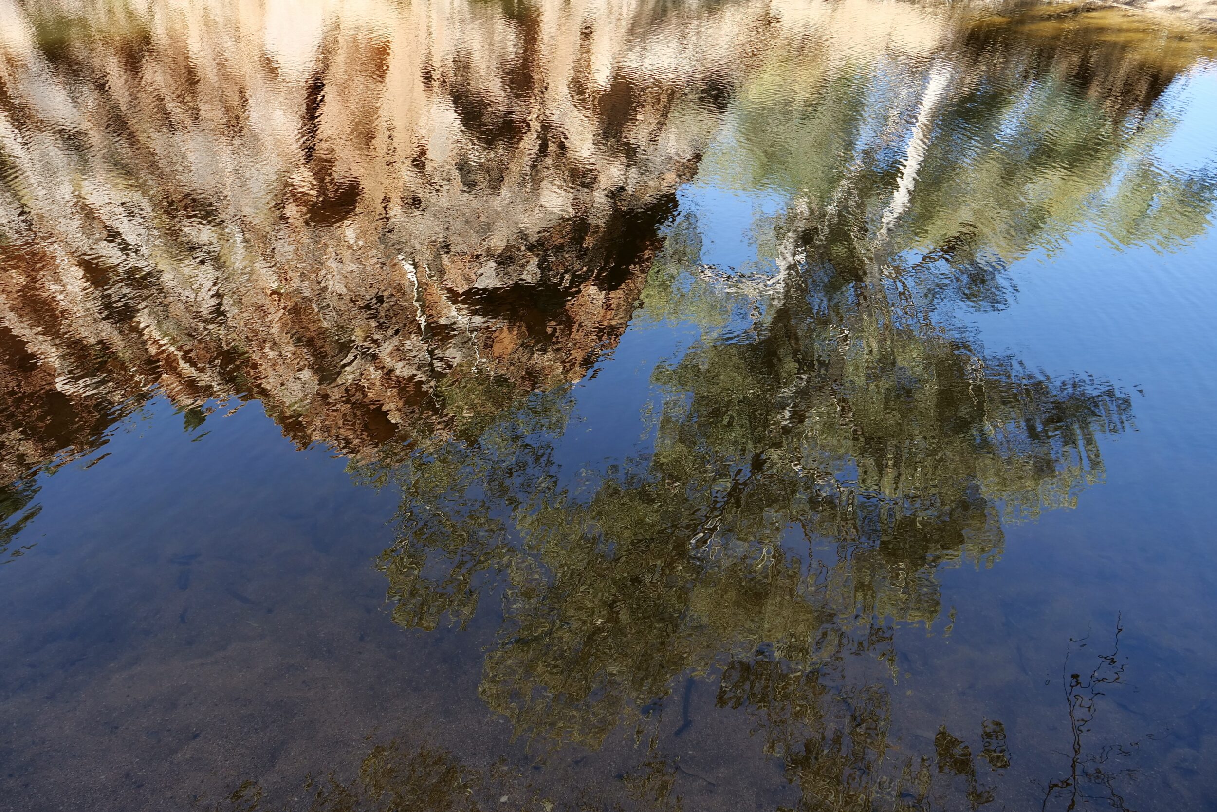
3: Unpolluted water in which to swim.
4: An abundance of sunshine and shade.
5: A location within two hours’ 2WD driving distance of comfortable accommodation and decent dining.
In this instance, all five qualities are present, notwithstanding the fact that the nearest ocean beach is more than 1,5000 kilometres away.
Comments closed