Most of Flinders Island’s more than 120 beaches are on its much-indented western and southern shores.
Flinders has a pointy northern end, so all beaches are essentially on the “south”, the “west”, or the “east” coast.
Just two very long beaches occupy circa 80% of the east coast.
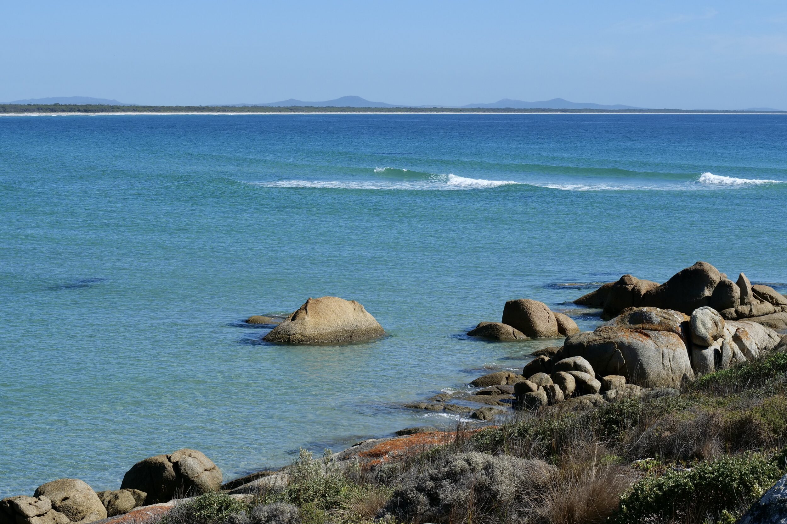
The white line running right across the featured image is just part of Foochow Beach; its 23.5 kilometres comprise most of the northern section of Flinders’ east coast.
I took the featured photo from Red Bluff, which overlooks Foochow Beach’s southern end.
The beach is named after a ship that ran aground in 1877.
Traces still remain of the wreck of The City of Foochow, a Calcutta-bound collier that had sailed from Sydney.
All humans aboard survived, but they were unable to save the vessel.
As the next chapter will show, Red Bluff offers an equally rewarding vista, looking southeast… and lurking therein is an astonishing statistic.
Our walk to and from Red Bluff was via an easy, locally-celebrated route that is best traversed at low tide.
Click here for information about the 7k return walk from Patriarch Inlet to Red Bluff.
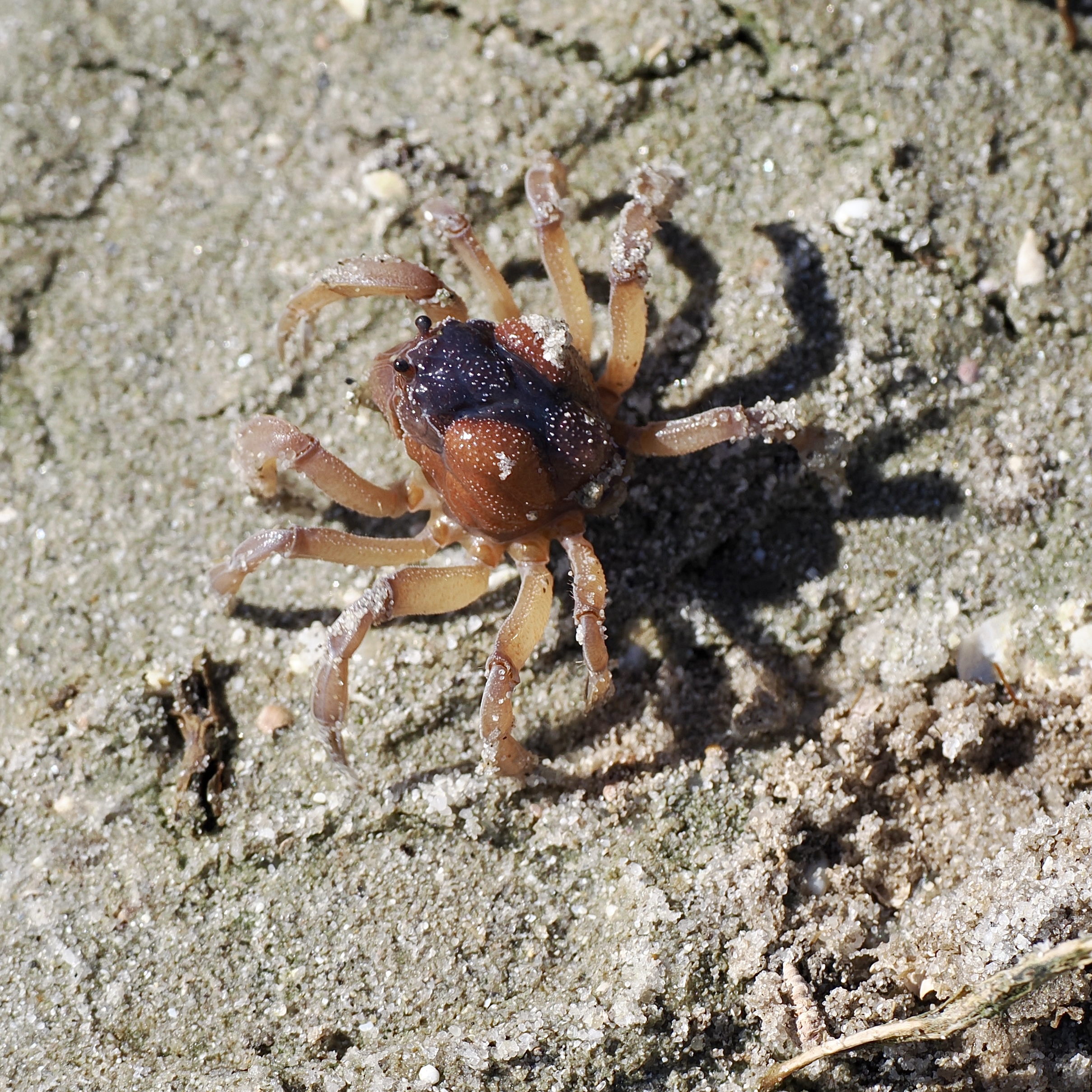
As we walked along the inlet’s edge, thousands of soldier crabs were “marching” across its tidally-exposed strand.
As you can see from the sand grains, each “soldier” was very small.