Where a particular intertidal zone’s “bottom” has a very gentle slope, even relatively modest tidal ranges will yield spectacular transformations, often twice-daily
One such place is immediately east of Dunedin, on the southeastern side of New Zealand’s South Island.
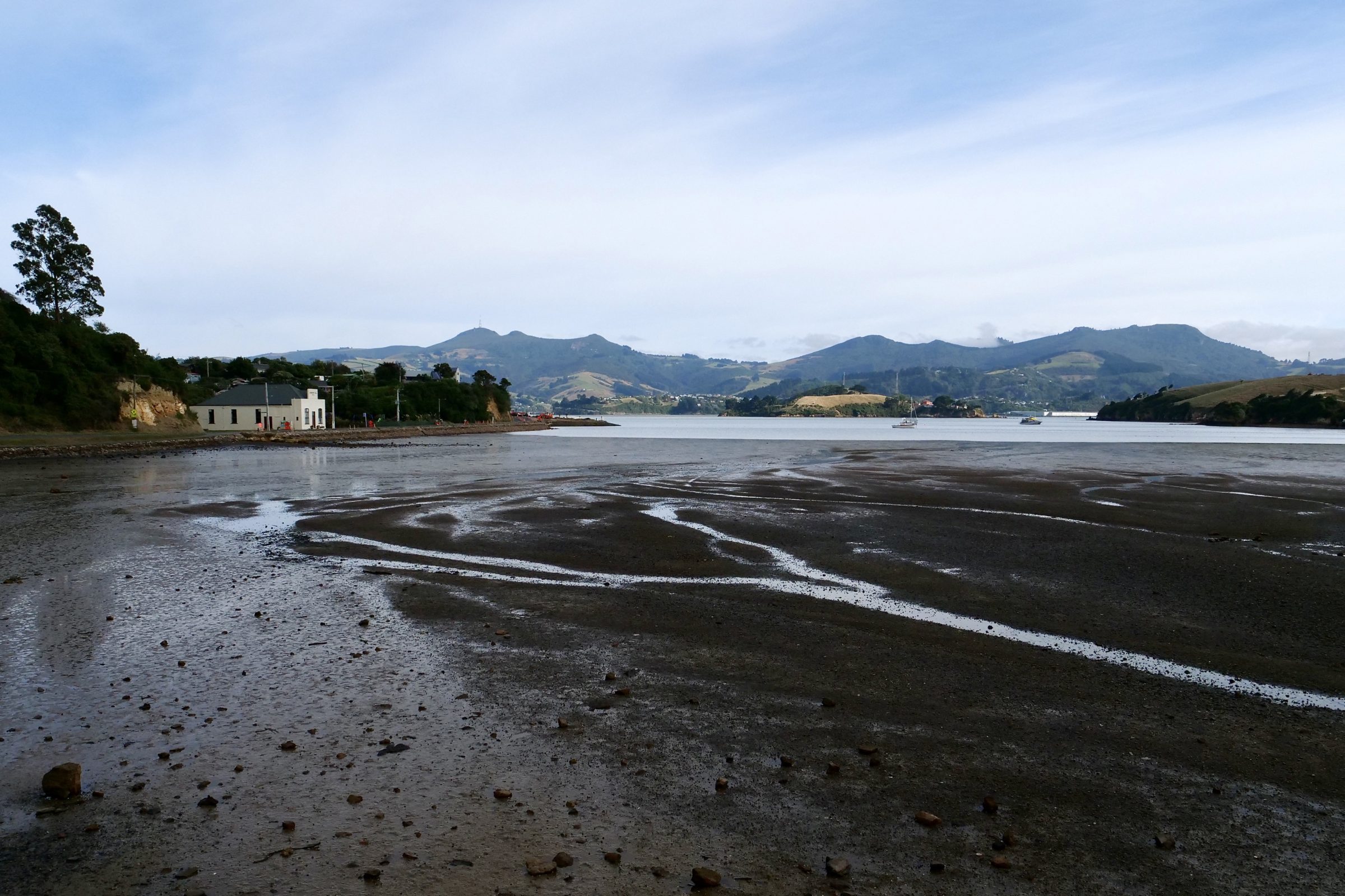
I took the photo just before 11 am on 23 March 2019.
My beloved and I were circa half way along the northern side of the Otago Peninsula, which juts more than 20 kilometres from Dunedin, with an albatross colony at its oceanmost point.
The Peninsula’s southern side has wild ocean beaches.
Its much gentler northern side is the southern shore of Otago Harbour.
The Dunedin/Otago Peninsula/Otago Harbour land/seascape was created by a shield volcano’s eruptions, its erosion, and the “drowning” of its lower parts.
The eruptions ceased circa 10 million years ago.
Click here for a concise explanation, with an aerial view.
For an overview of the Otago Peninsula, click this.
For Otago Harbour, this link.
Your Otago Peninsula wildlife sightings should include Royal Albatrosses.
If you are very lucky (we were, as you can see in ”Moby Trump” post) you could also see Orcas/ Killer Whales.