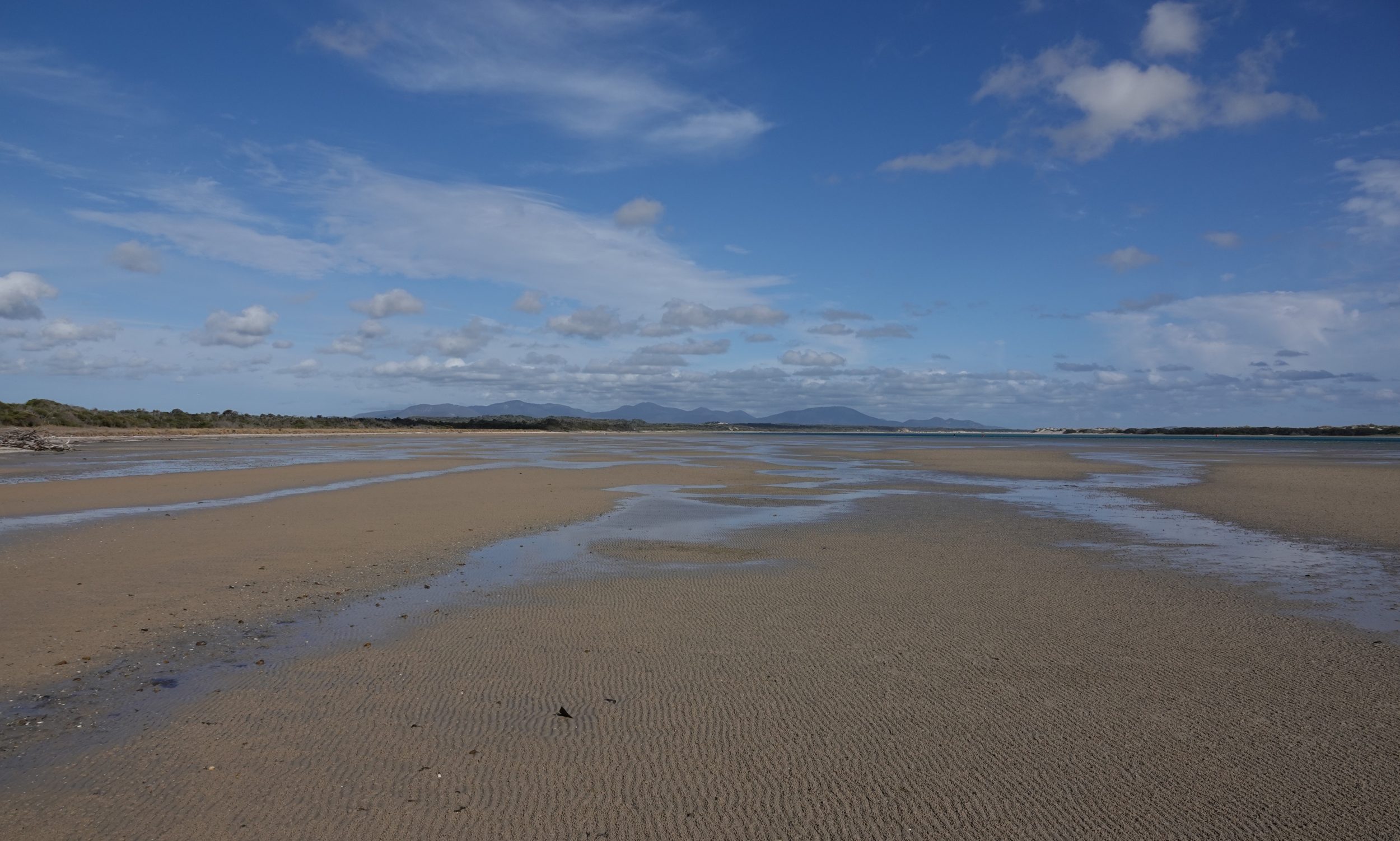
There is nothing fake or “tricked up” about this post’s featured image, which was taken just a little north of the Australian continent’s southernmost point.
The photo is, however, a deeply “misleading” portrait of Shallow Inlet at low tide…
Once you see #4 in this series, you will know what I mean.
Meanwhile, if you do not already know how and why tides happen, click this for a series of questions, all succinctly answered.
(but be aware that – as is true of so many “expert” sources – the UK’s National Tidal and Sea Level Facility wears “Northern Hemisphere blinkers”. Most purported lists of “the world’s biggest tides” are blind to anywhere south of the Equator. In fact, the Tropical Zone’s highest tides occur on some indented coastal locations in Western Australia’s Kimberley region. Residents of Derby certainly experience bigger tides than do residents of some other places that routinely appear on lists of “the world’s biggest tides”. Yes, Canada’s Bay of Fundy really is the titleholder, but Derby’s King Sound is a serious contender for the “silver medal”, as you can see, here)
Shallow Inlet is within Victoria’s Wilson’s Promontory National Park, but west of “the Prom” itself.
I took the photo at 4.49 pm on 25 October 2018, looking east, with “The Prom” on the horizon.