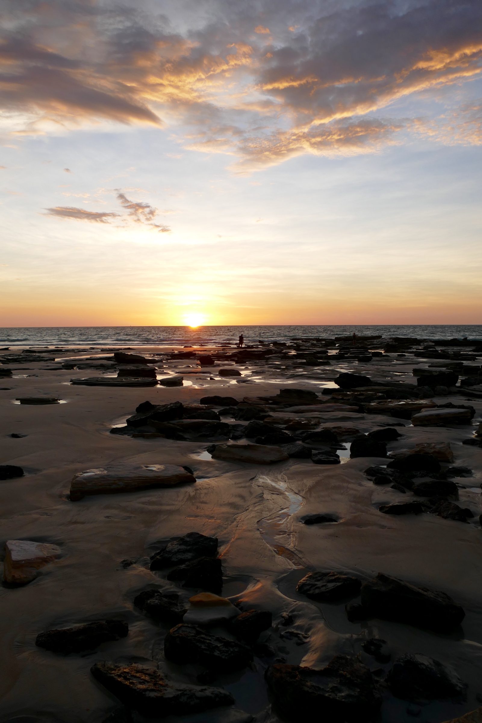
A particular pleasure in the intertidal zone: seeing and experiencing – even entering – wonderful things that are only available to you at low tide, or at certain very low tides…
Comments closedNatural splendour, real musics, wines, wordpower
A particular pleasure in the intertidal zone: seeing and experiencing – even entering – wonderful things that are only available to you at low tide, or at certain very low tides…
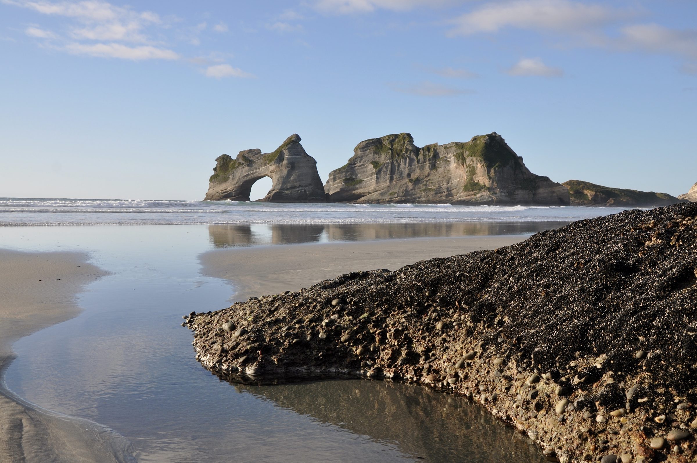
Comments closedOnly a modest number of human feet have walked its actual sands, but every day of our so-called “21st” century many millions of human eyes see this singular beach, virtually.
An image of it is the “screensaver” viewed countless times by subscribers to Microsoft’s Windows 10 operating system.
Doubtless, most of those subscribers have no idea of what and where is this “iconic” beach.
Comments closed
So much of Australia is parched, low-lying, flat(-tish)
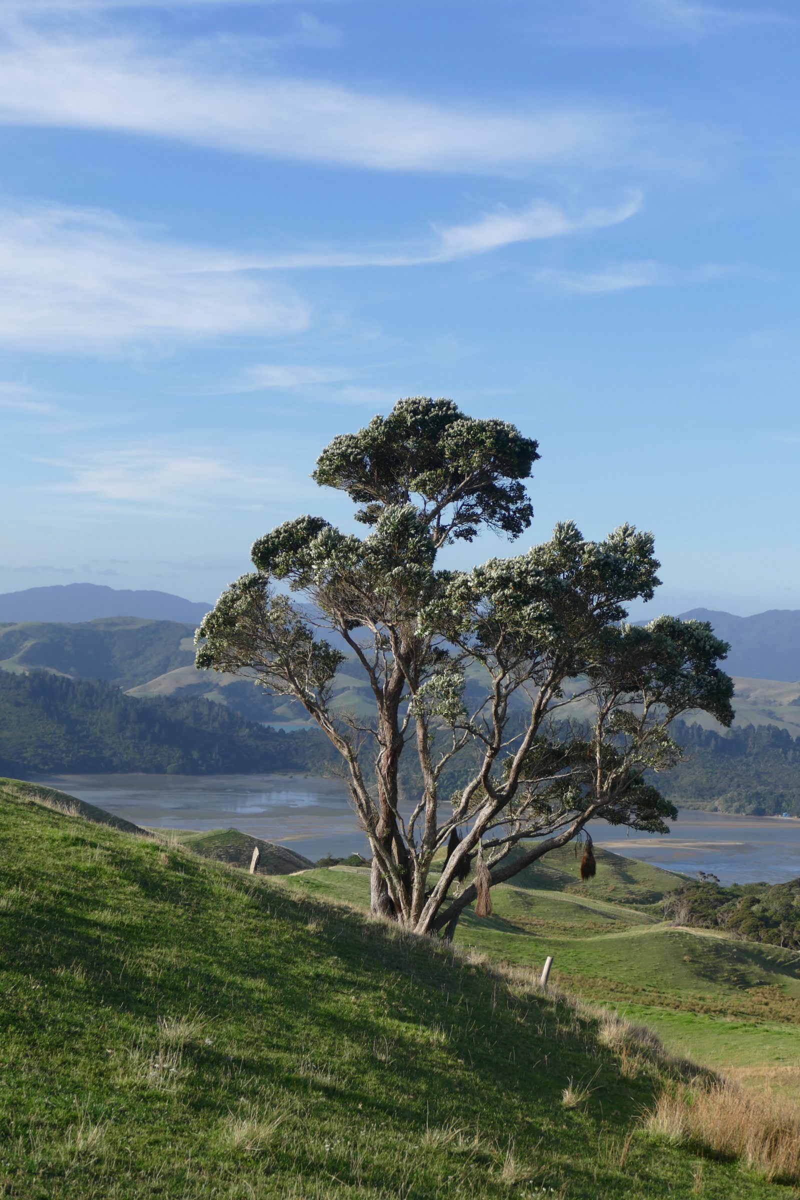
So much of New Zealand is well-watered, extravagantly green, and its horizons usually include substantial hills or mountains.
Understandably, many visitors to NZ – Australians, especially – are utterly beguiled, and swallow, whole, the assiduously marketed fiction that New Zealand is “green” and “pure”.
Comments closed
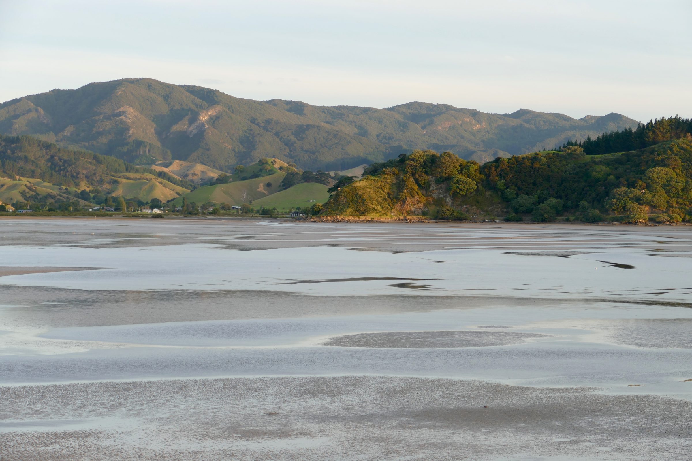
#6 in this series looked out to sea, from a bay on the western side of the Coromandel Peninsula – a popular “weekend escape” destination for many residents of Auckland.
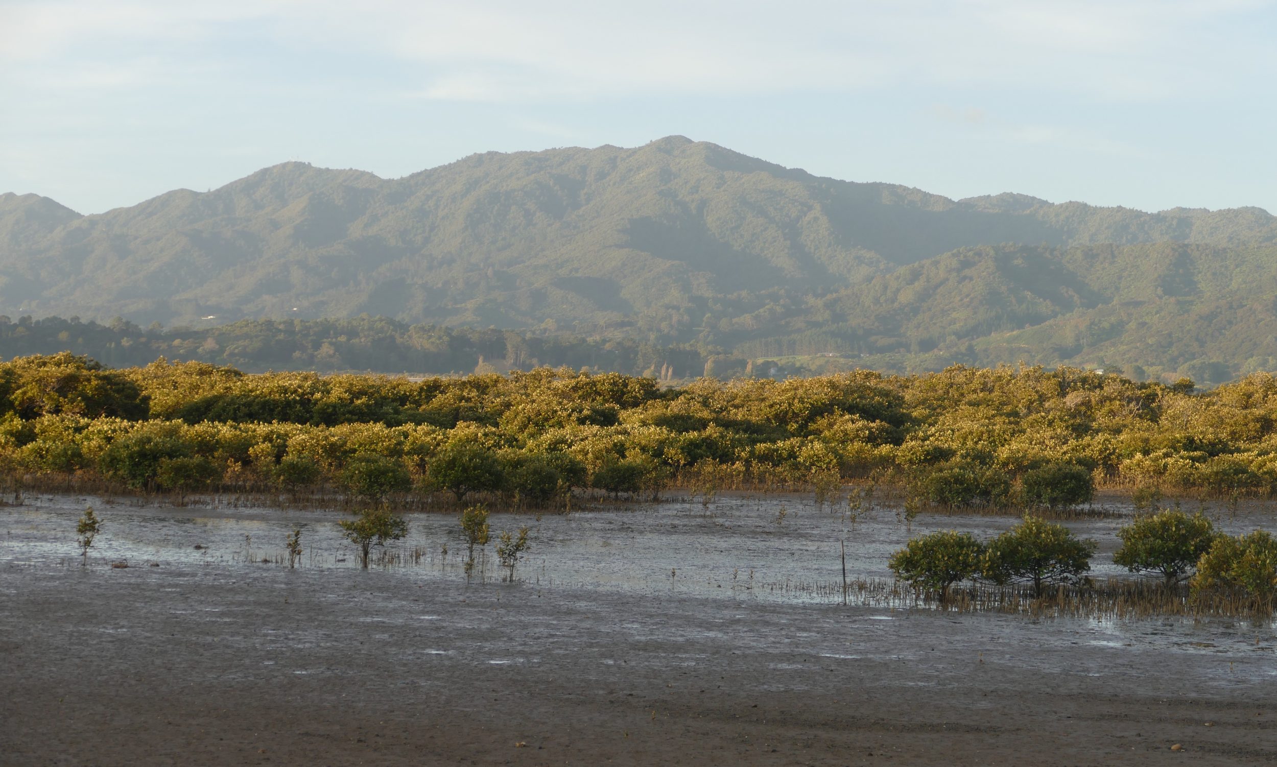
This post’s featured image was taken from almost exactly the same spot, but looking into a bay whose waters were very much deeper two centuries ago.
Comments closedThe location pictured in this post’s featured image is not very many kilometres away from the one in #5 in this series.
It is not at all close to the North Queensland coast, where Cairns sits at 16.51 Degrees South – unsurprisingly, a location where mangroves thrive.
Comments closed
#6 in this series will answer the above question.
“If there are no mangrove forests, then the sea will have no meaning. It is like having a tree with no roots, for the mangroves are the roots of the sea.”— fisherman, Trang Province, southern Thailand.
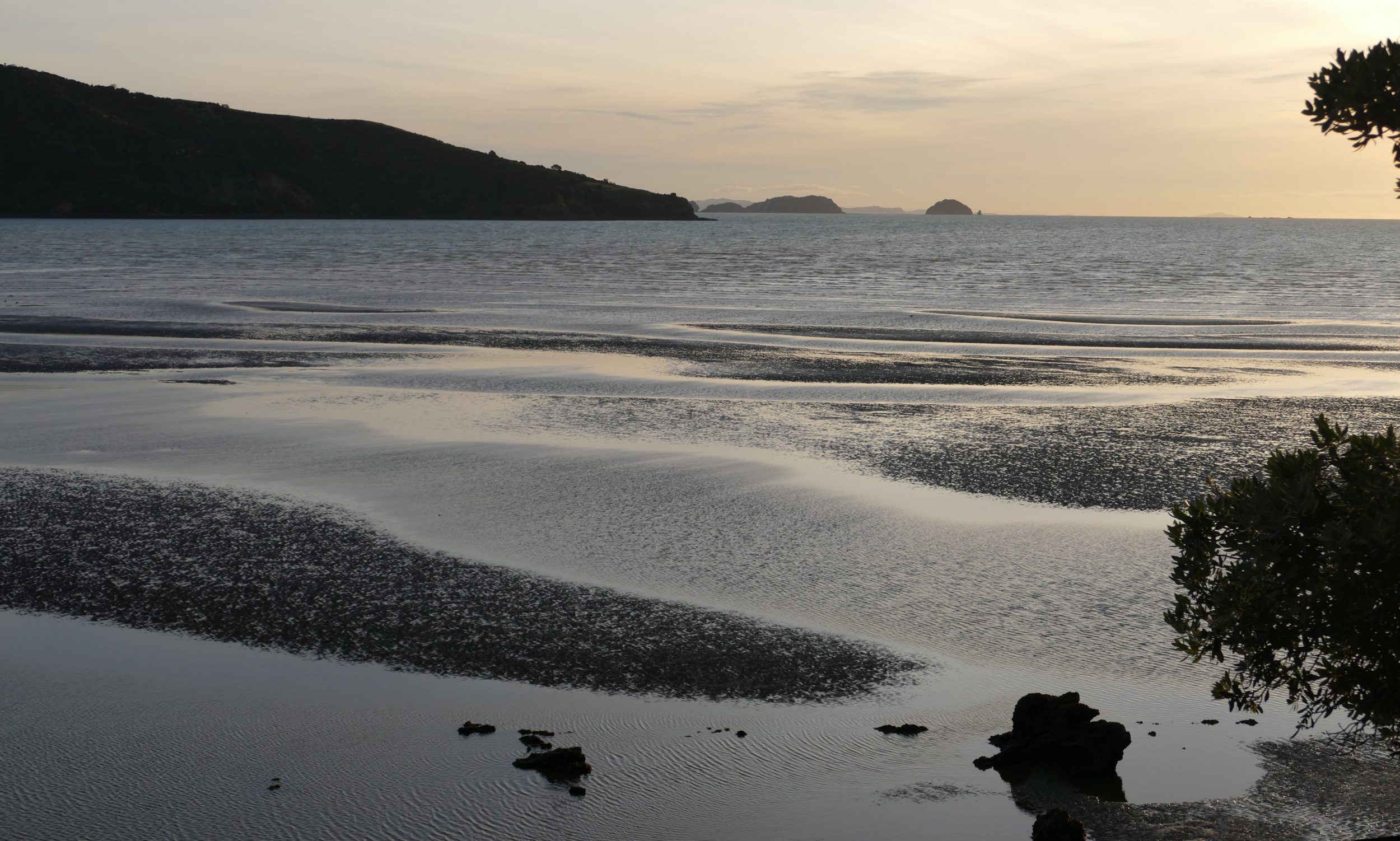
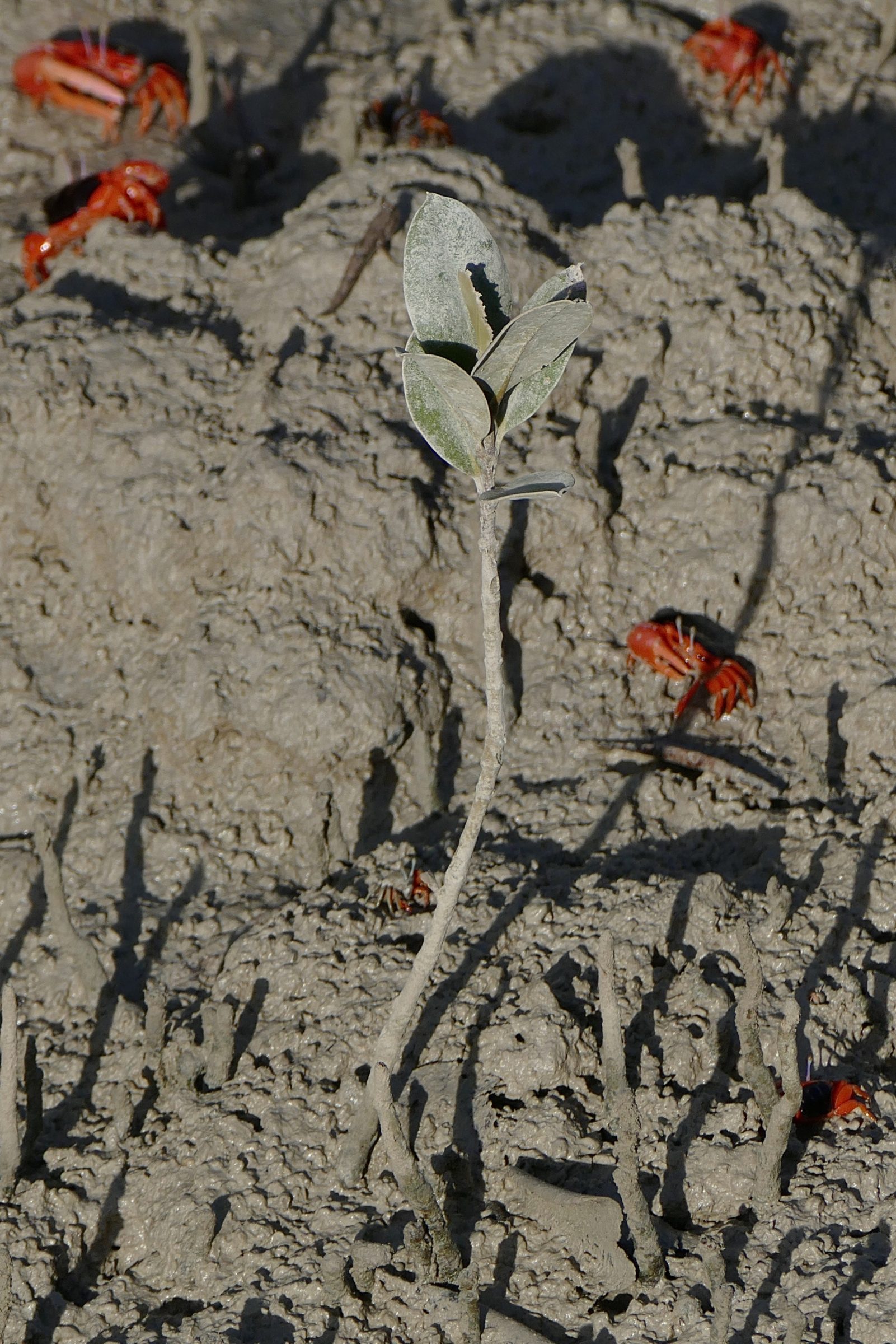
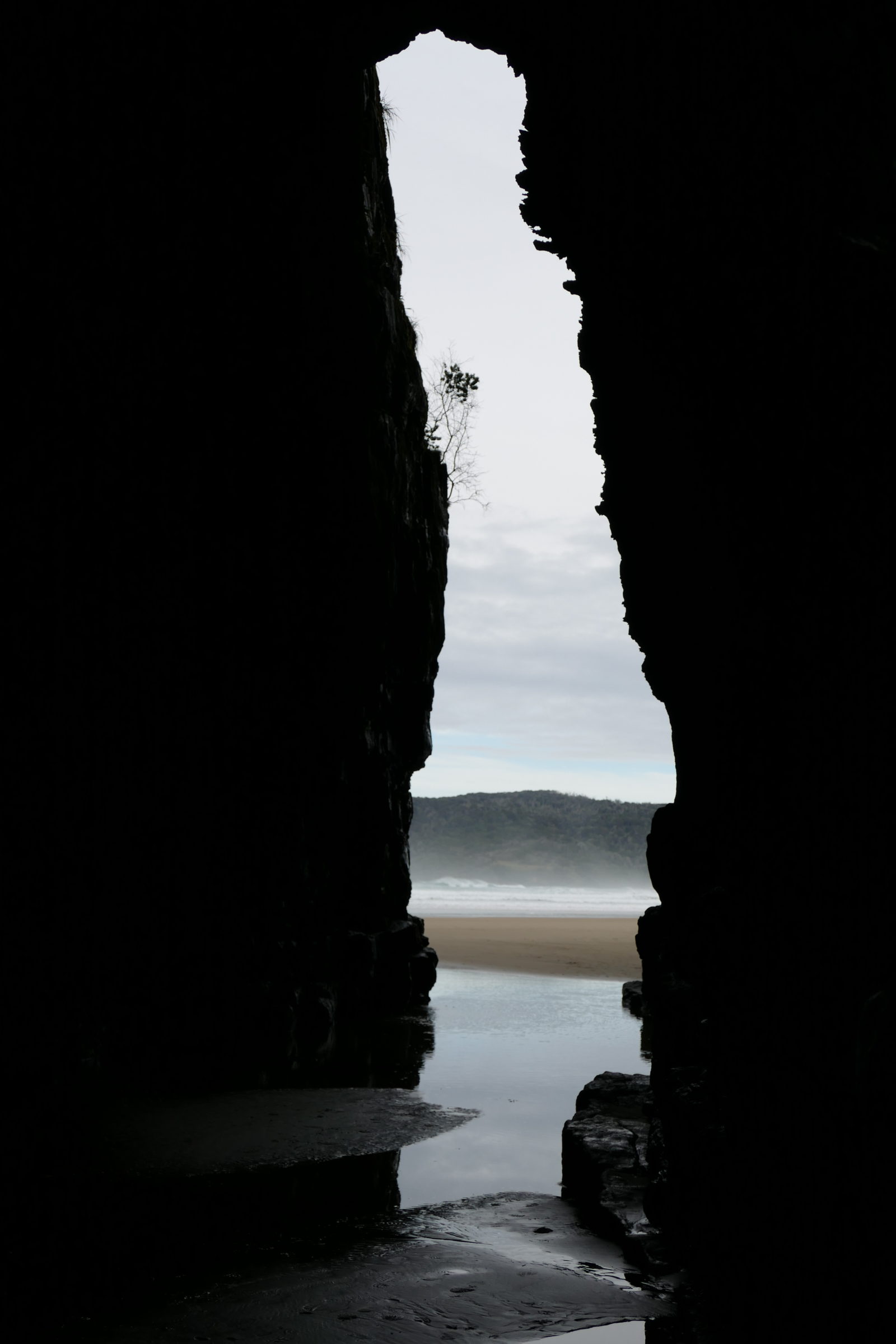
Comments closedTidal sand/mud-flats present very different “faces”, depending on when you happen to visit them – time of day, as much as time of year – and also on how closely you look.
Yesterday’s featured photo was taken in the same location as was today’s, their two vantage points were a very short walk apart, and only a few minutes separated their shutter-clicks.
Nothing much had changed in those few minutes, but…
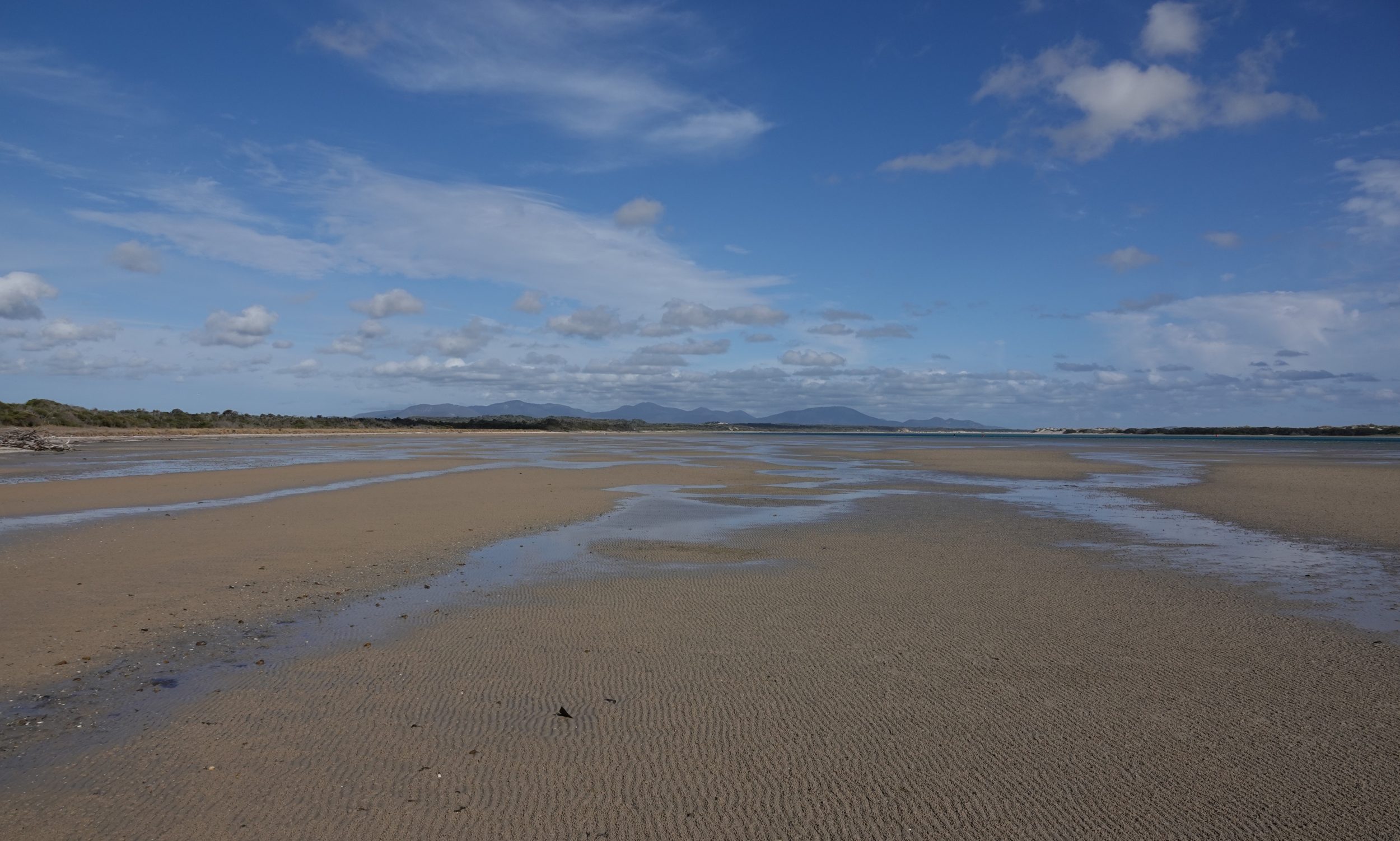
Comments closedThere is nothing fake or “tricked up” about this post’s featured image, which was taken just a little north of the Australian continent’s southernmost point.
The photo is, however, a deeply “misleading” portrait of Shallow Inlet at low tide…
Comments closed
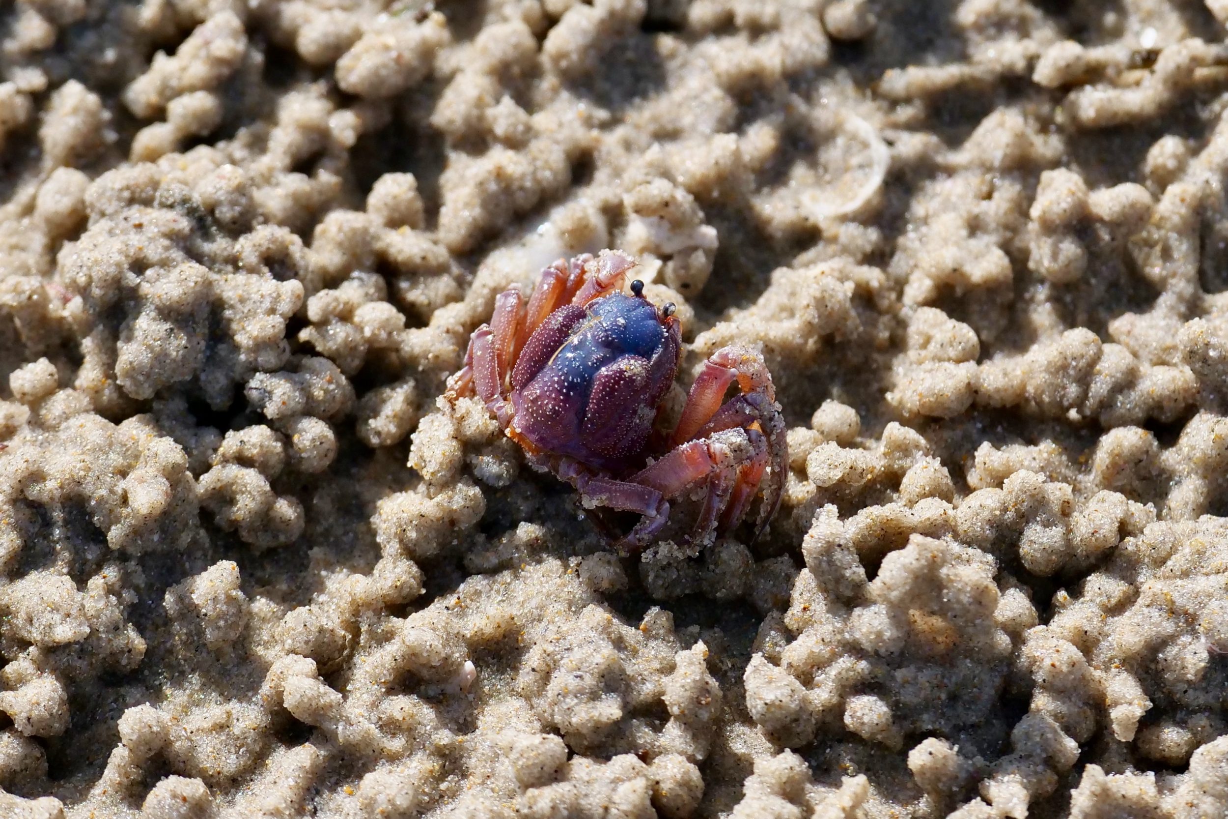
At certain times of year Broome’s Roebuck Bay is a global hotspot for birdlife; for migratory waders it is a key “fuel stop”.
It may be less “instagrammable” than Cable Beach, but Roebuck Bay is much the richer place, biologically speaking.
Its crustaceans provide a deal of the waders’ fuel.
A key factor in all this: Roebuck Bay’s oft-massive, fast-moving tides.
On some days of each month, at low tide the exposed mudflats cover more than 150 square kilometres, and they extend far beyond a shore-based observer’s horizon.
Comments closed
So begins a series of single-image posts: each depicts a different aspect of the intertidal zone, where the sea “arrives” and “departs” at least once, every day.
Comments closed