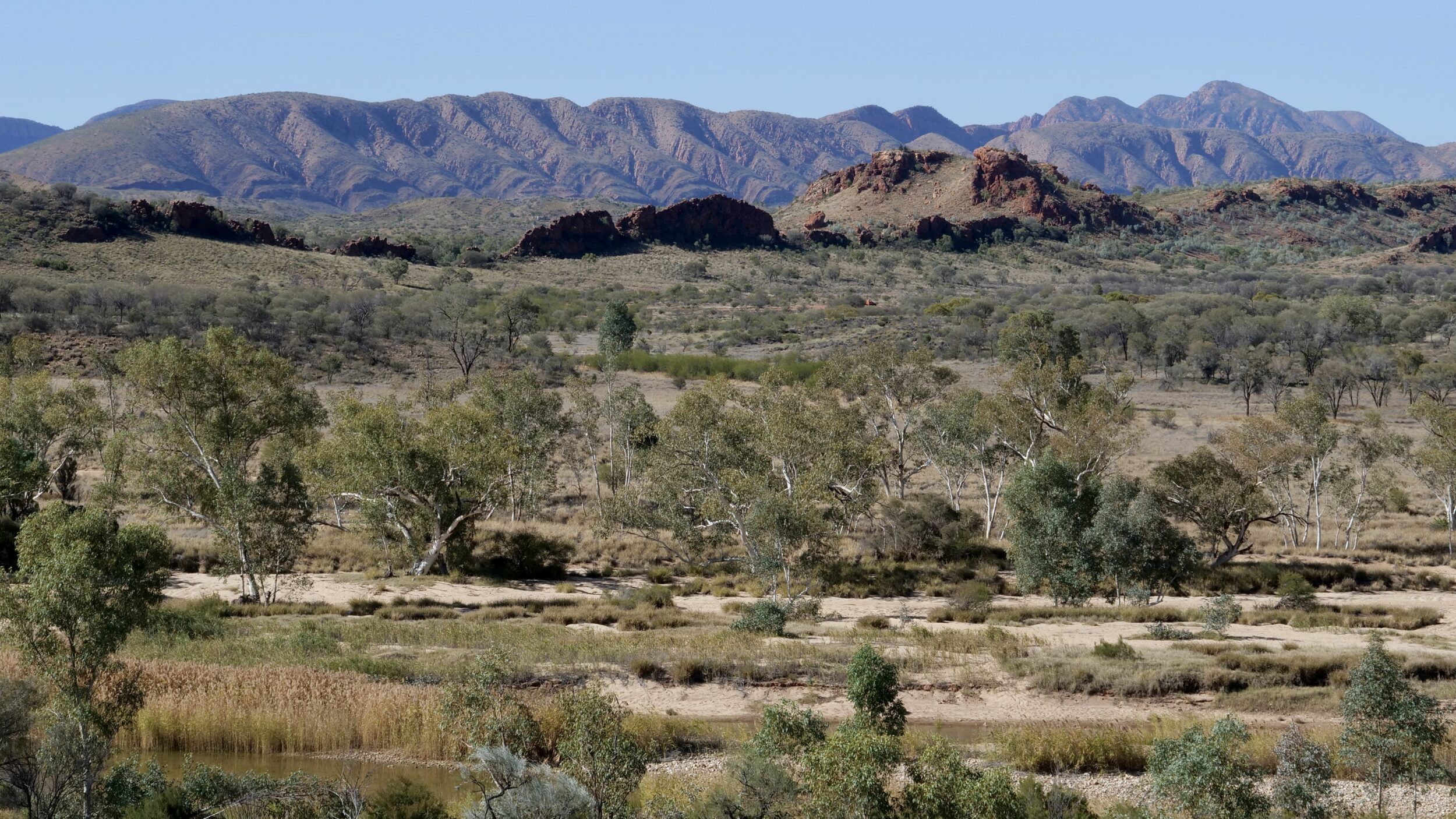
This post’s photo was taken circa 10 kilometres away from Ormiston Gorge.
The vantage point was just a couple of kilometres north of Glen Helen, and the image looks north-east.
In the foreground you can see the Finke River, which is oft-described as the world’s oldest.
I am pretty sure that the highest mountain you can see (on the horizon’s right hand side) is Mt Giles (1,389 metres ASL) which is on the eastern side of Ormiston Pound; Mt Giles’ peak is the highest point on the Pound’s ramparts.
As you can see, this particular desert country does not fit most urban-dwelling humans’ preconceptions of what deserts are “meant” to look like!
In many parts of the world the MacDonnell Ranges region’s annual average rainfall would be too high for the area to be classified as “desert”.
However, in Central Australia, daytime temperatures are so high for so much of the year – and, accordingly, rates of evapotranspiration are so very high – that it does meet the necessary criteria for a “desert” rather than merely a “semi-arid” classification.
“Our” world has no more beautifully vegetated desert region, I think.
Photo is copyright Doug Spencer, taken at 2.21 pm on 17 June 2023.