This post’s, the previous post’s, and the next post’s photos were all taken within the space of a very few minutes.
Their vantage points were not at all far apart.
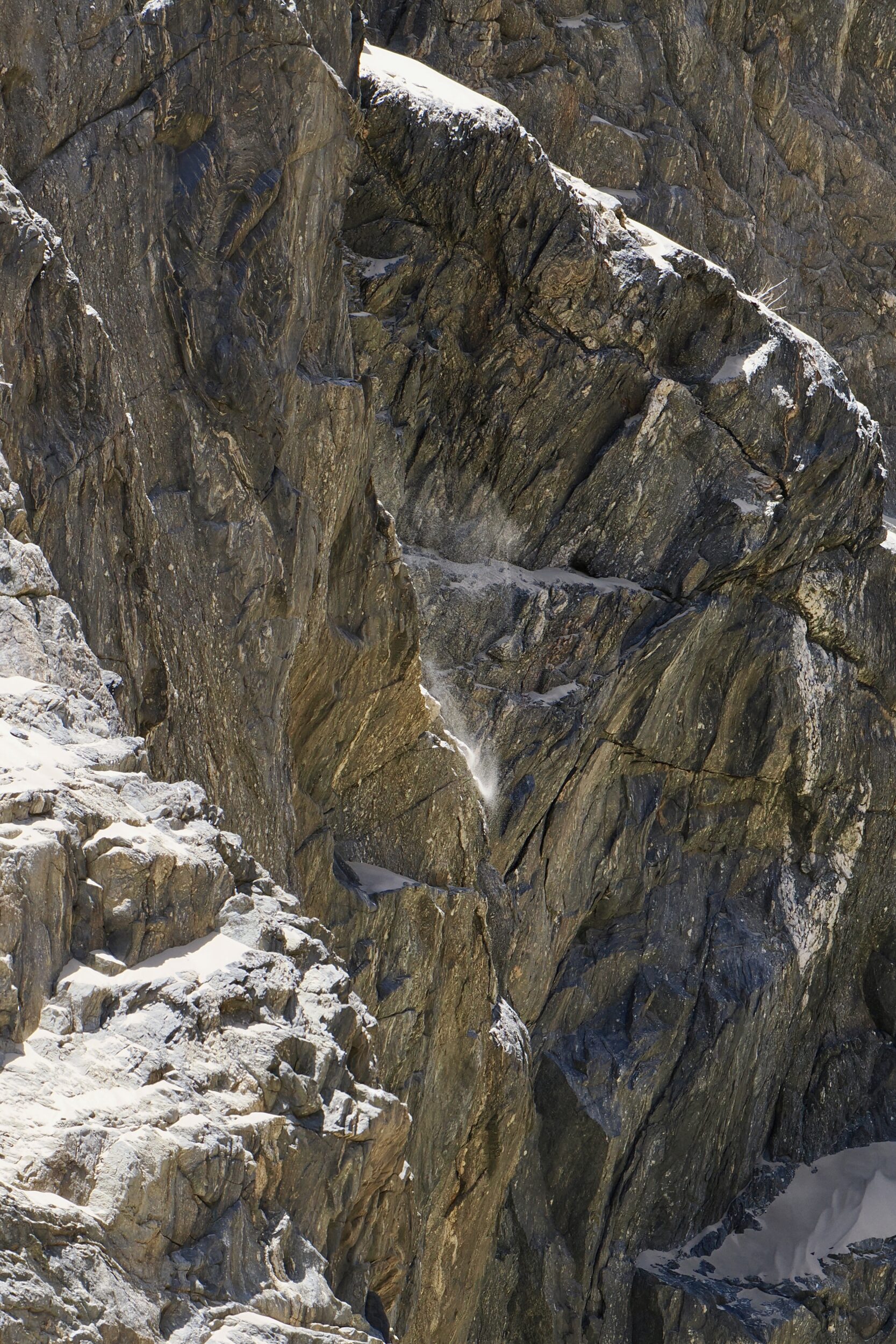
This is a place where a very selective view can create a highly misleading impression.
It would have been very easy for me to present a portfolio of images to make it appear that the Namib Desert’s northwest is utterly barren, virtually devoid of evident life…OR that it is surprisingly “lush”.
You would not need AI in order to misrepresent it as “simply sand, sand, and yet more sand”…OR as “dominated by rock, rock, yet more rock”.
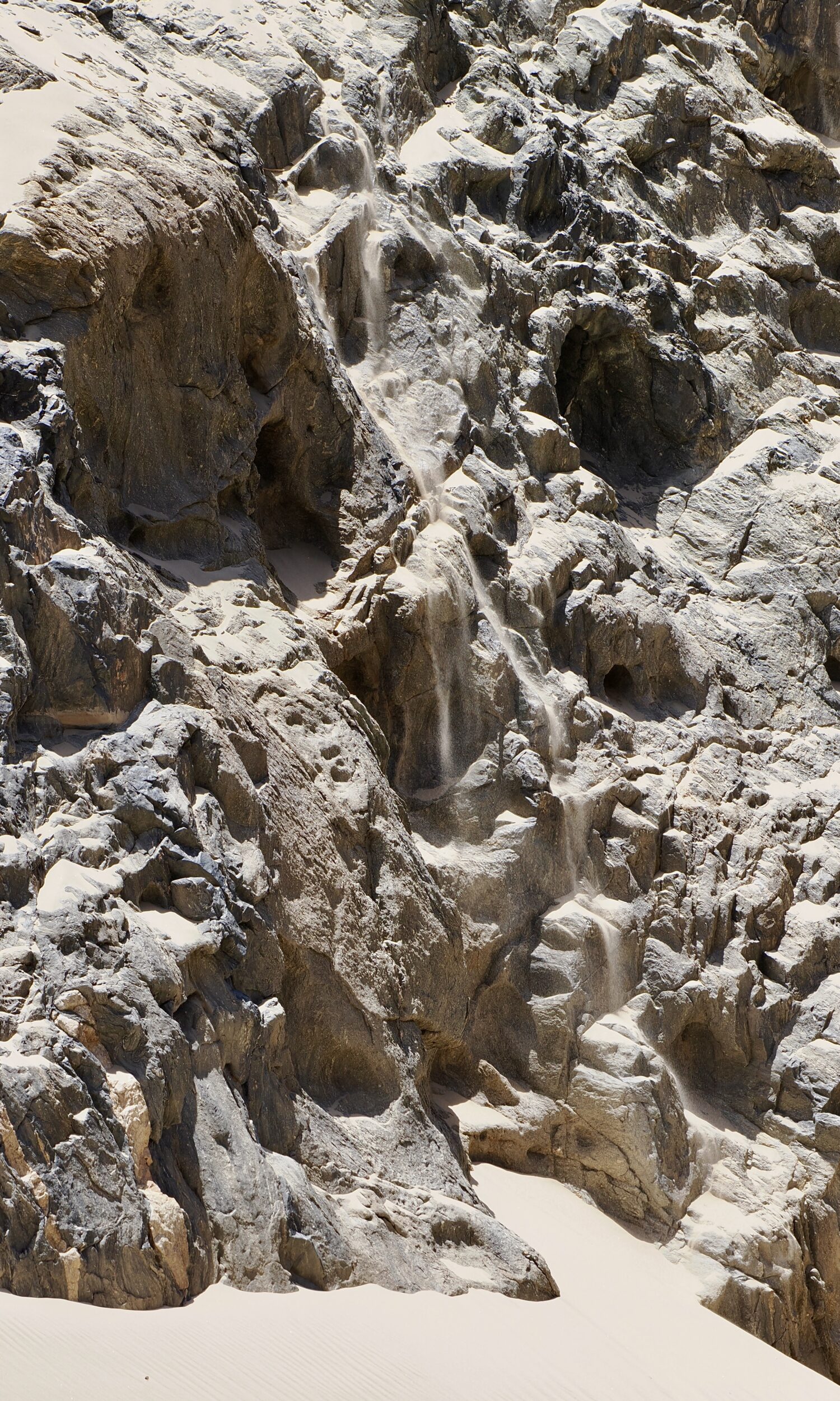
In truth, a five kilometre radius of this post’s vantage point would encompass millions of tonnes of both sand and rock, vivid greenery and a total absences thereof, plus a “surprisingly” long, diverse list of resident and transient fauna and flora.
In the words of geologist Roger Swart:
Today, Namibia sits relatively passively in the middle of a tectonic plate with little earthquake activity and no volcanism, but this has not always been the case.
One could say the same of Australia; Australia’s continent is the only one which entirely lacks any current volcanic activity.
Many of Australia’s and Namibia’s landscapes and landforms have, however, been shaped/built by volcanoes.
That is as true of this series’ key river valley/gorge as it is of Mount Gambier.
The next two posts’ featured images will offer clear, non-misleading views of the gorge.