Around one hour’s easy drive south from Pemberton, via Northcliffe, you meet the Southern Ocean at Windy Harbour.
To the east, hulking over its sheltered bay and its little collection of shacks and camping ground/caravan park, is Point D’Entrecasteaux.
Image below shows Point D’Entrecasteaux, viewed from Windy Harbour.
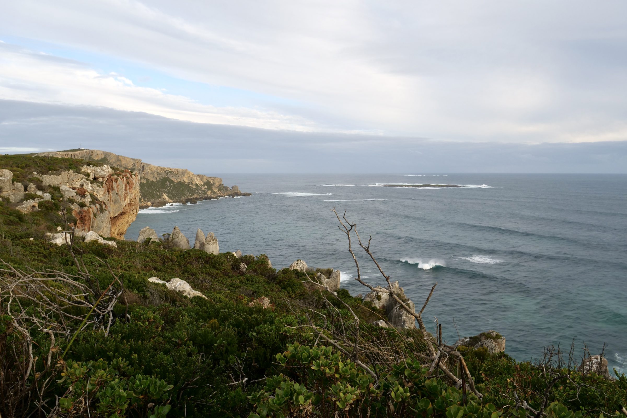
The featured image – atop this post – is a wide angle view, looking west to the Point, from viewpoint at Tookalup.
An easy clifftop walk – atop, but not on edge thereof – links Tookalup and the Point; they are among several nearby spots served by sealed roads.
This particular vicinity is the one place within this huge National Park where you have easy, sealed road access to key coastal spots.
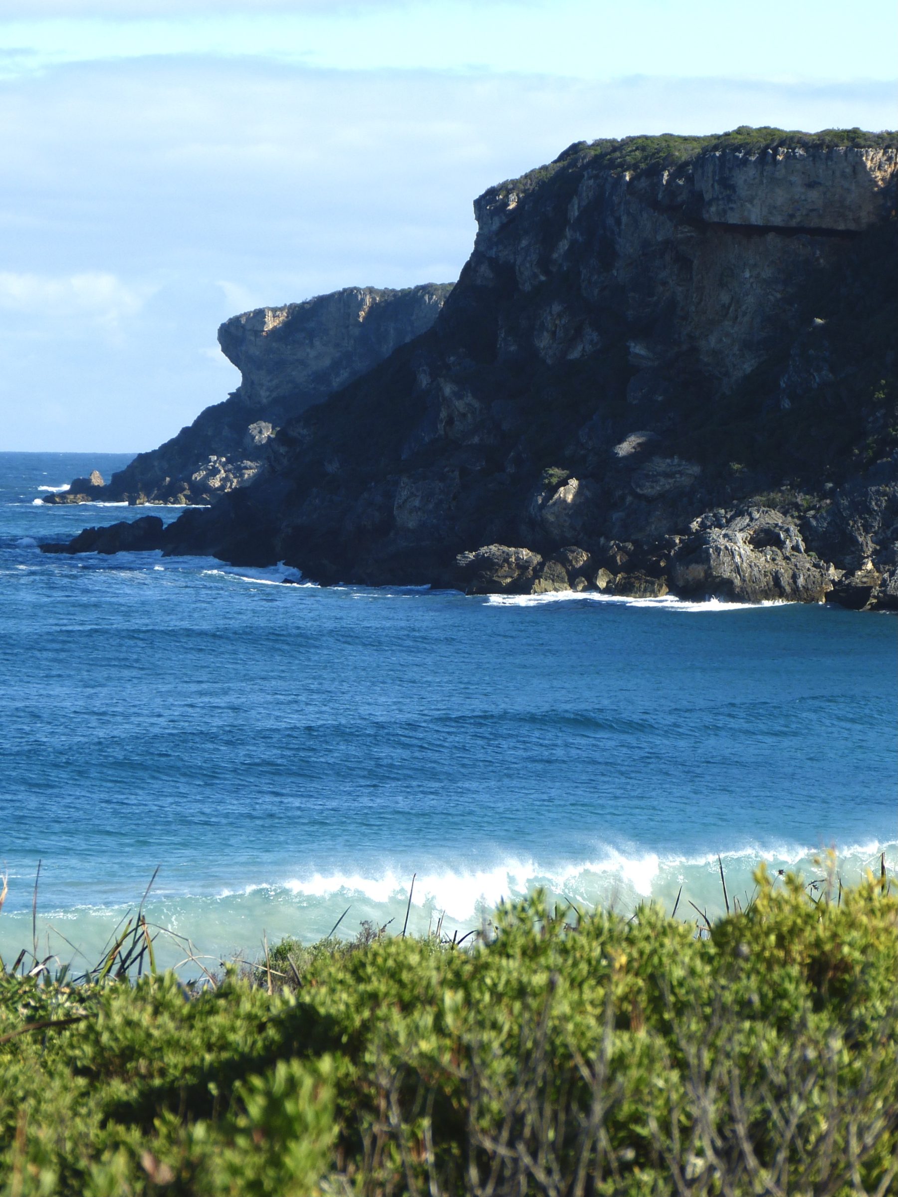
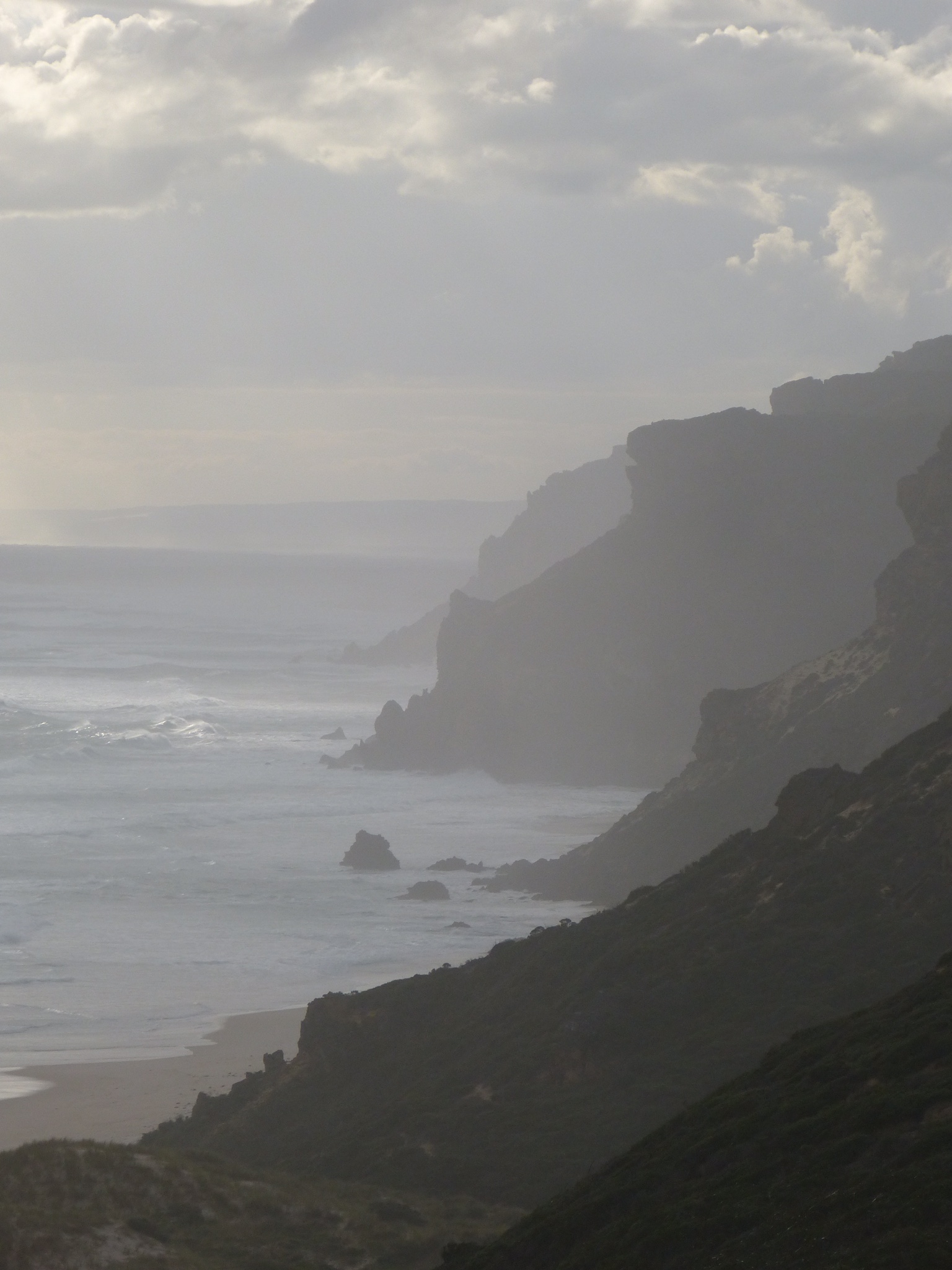
Both photos below were taken from Tookalup; the second one looks east, with Salmon Beach visible in distance, on image’s top left side.
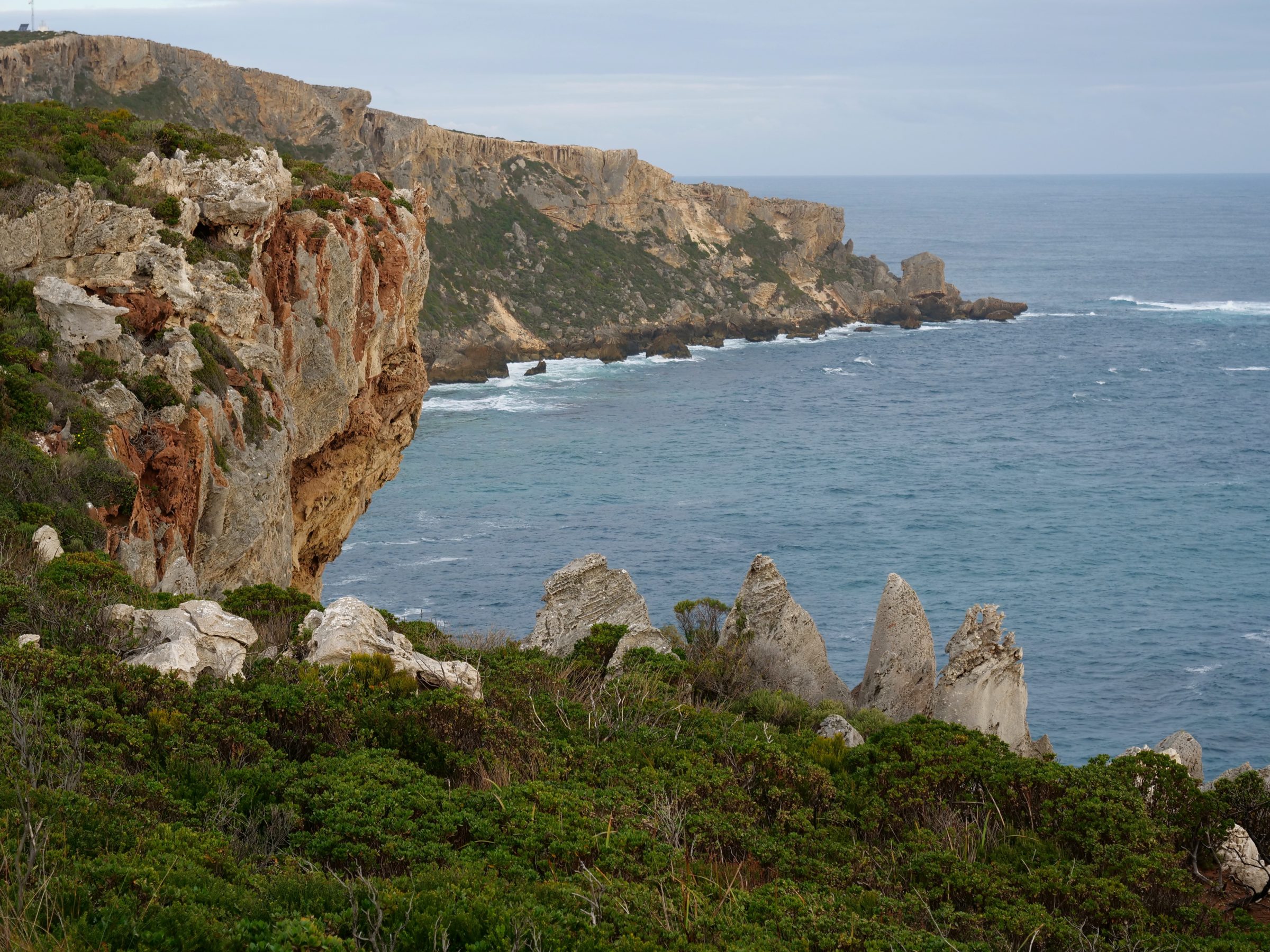
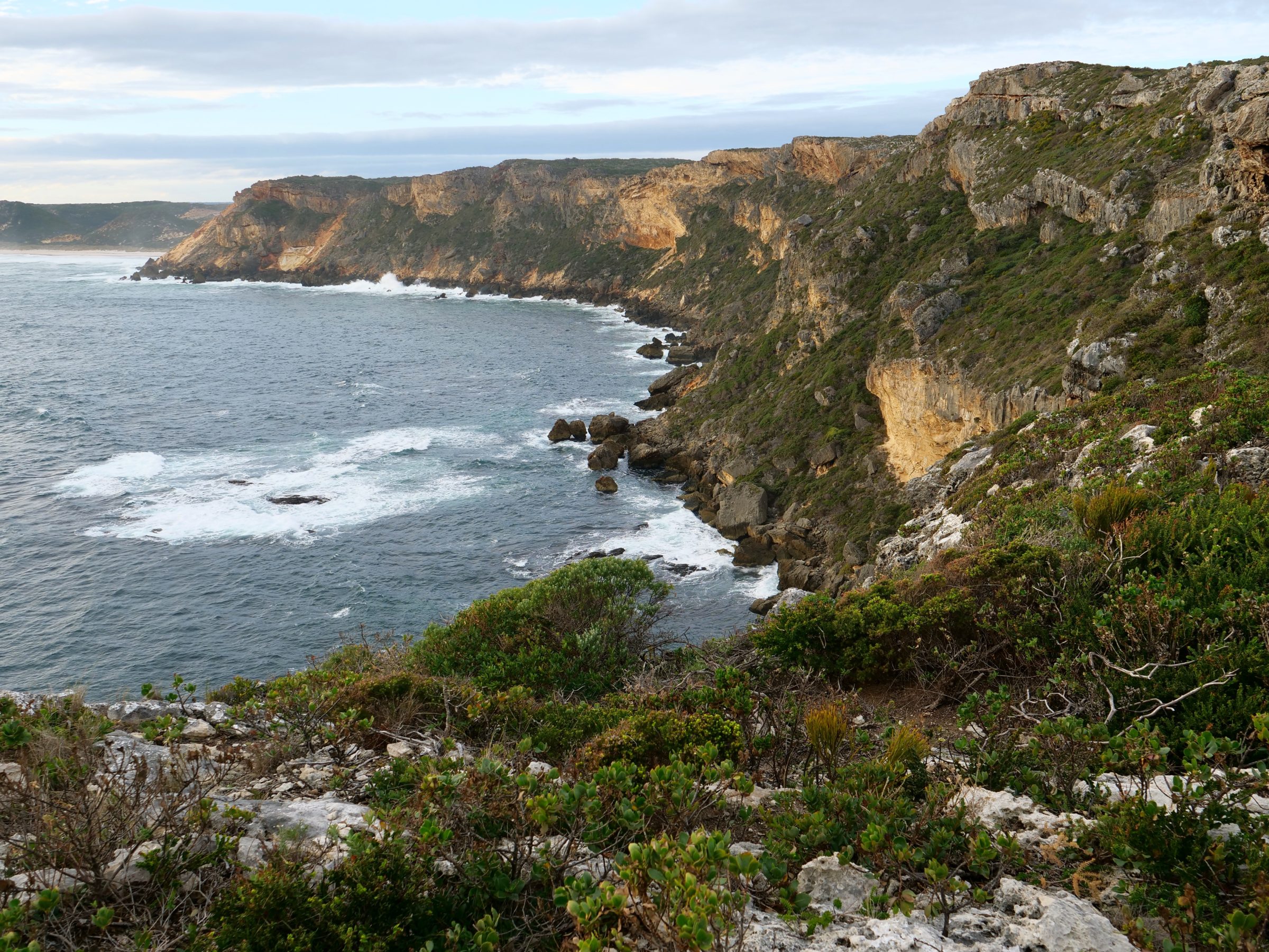
Photo below was taken on a hazy winter’s day, looking east over Salmon Beach.
Point D’Entrecasteaux sits midway along what is otherwise more than 100 kilometres of ocean shore, unreached by any roads; the Park’s total ocean frontage runs for 130 kilometres.
It is named after the French admiral who saw “his” eponymous Point in 1792.
Bruni D’Entrecasteaux is oft-described as “the first European” to have seen it – an almost-certainly false claim.
Dutch seafarers surely stumbled upon it at least 165 years earlier.
A short sail east (“further along”, for the first European visitors) is the Nuyts Wilderness – a little west of Walpole, and also a superb place to walk.
Also known as “the Nuyts Block”, the “Wilderness” – a deal of which once was farmland – is named after Pieter Nuyts.
That Dutch East India Company official was on the Gulden Zeepaard (Golden Seahorse), when it navigated WA’s South Coast in 1627 – the first recorded European visit to a shoreline on which humans had already been present for many thousands of years.
Discover more about D’Entrecasteaux National Park – and see a map – here.
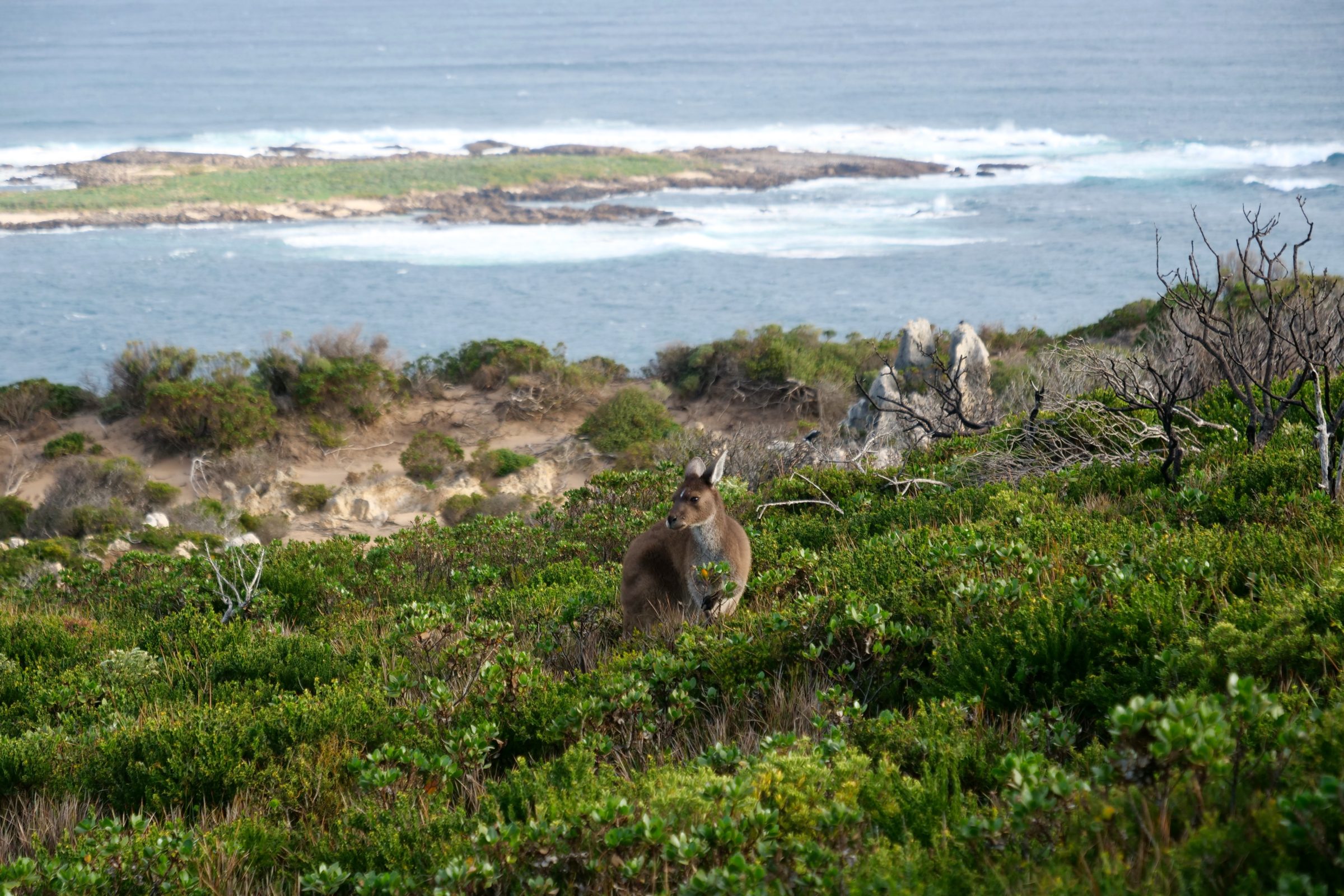
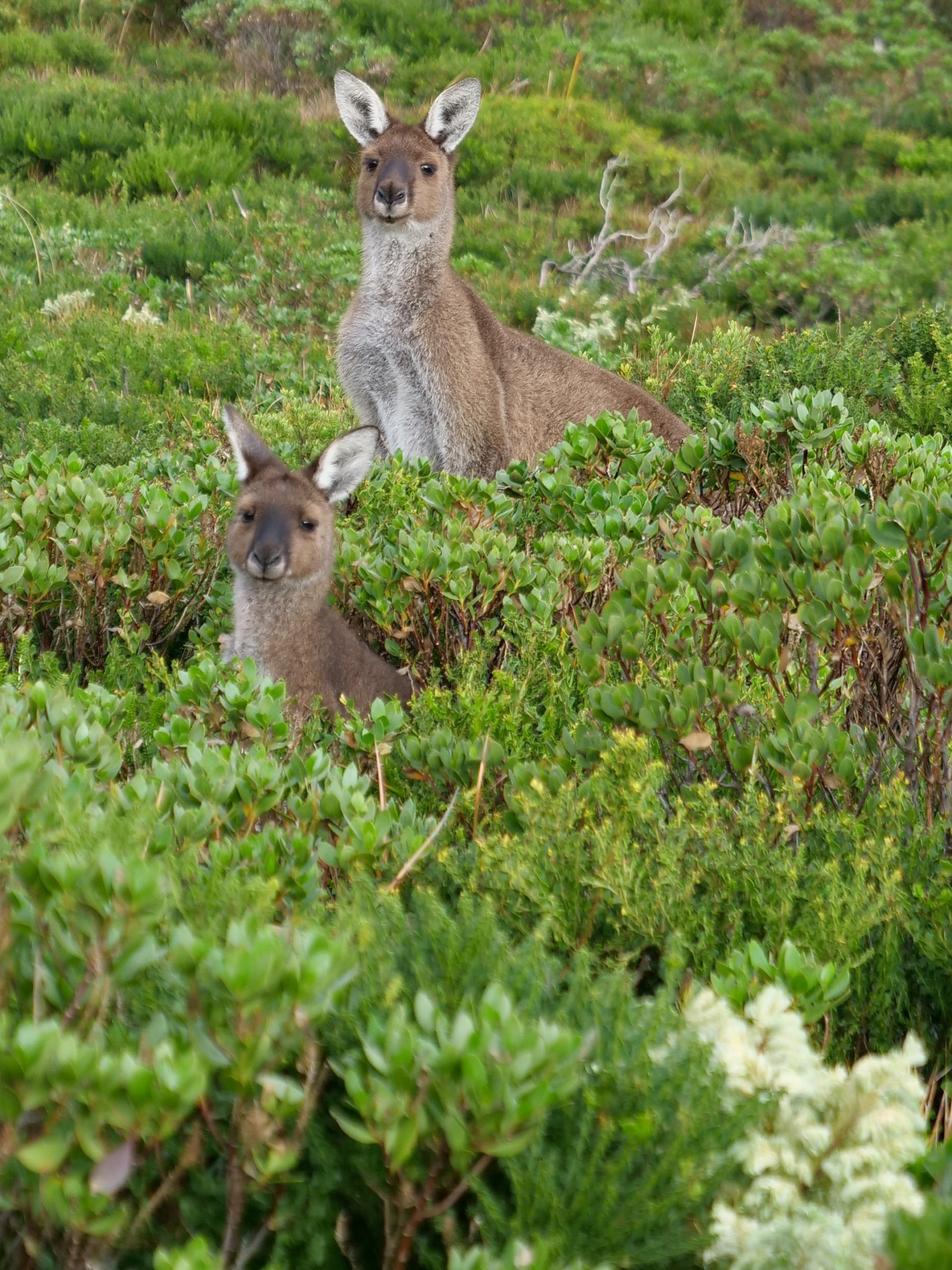
On our most recent visit, the splendid resilience of the bush atop and on the flanks of the Point was very evident.
A few years earlier, much of it appeared to have been “devastated” by an enormous fire.
This series’ next chapter features the magnificently-wild but easily-accessed beach near D’Entrecasteaux National Park’s eastern boundary.