Skip to content →

Tag: Yeagarup Dunes

Winter 2025, South West WA (#8 in series: “Big Sandy”…


..,but definitely not  “wasteland”)

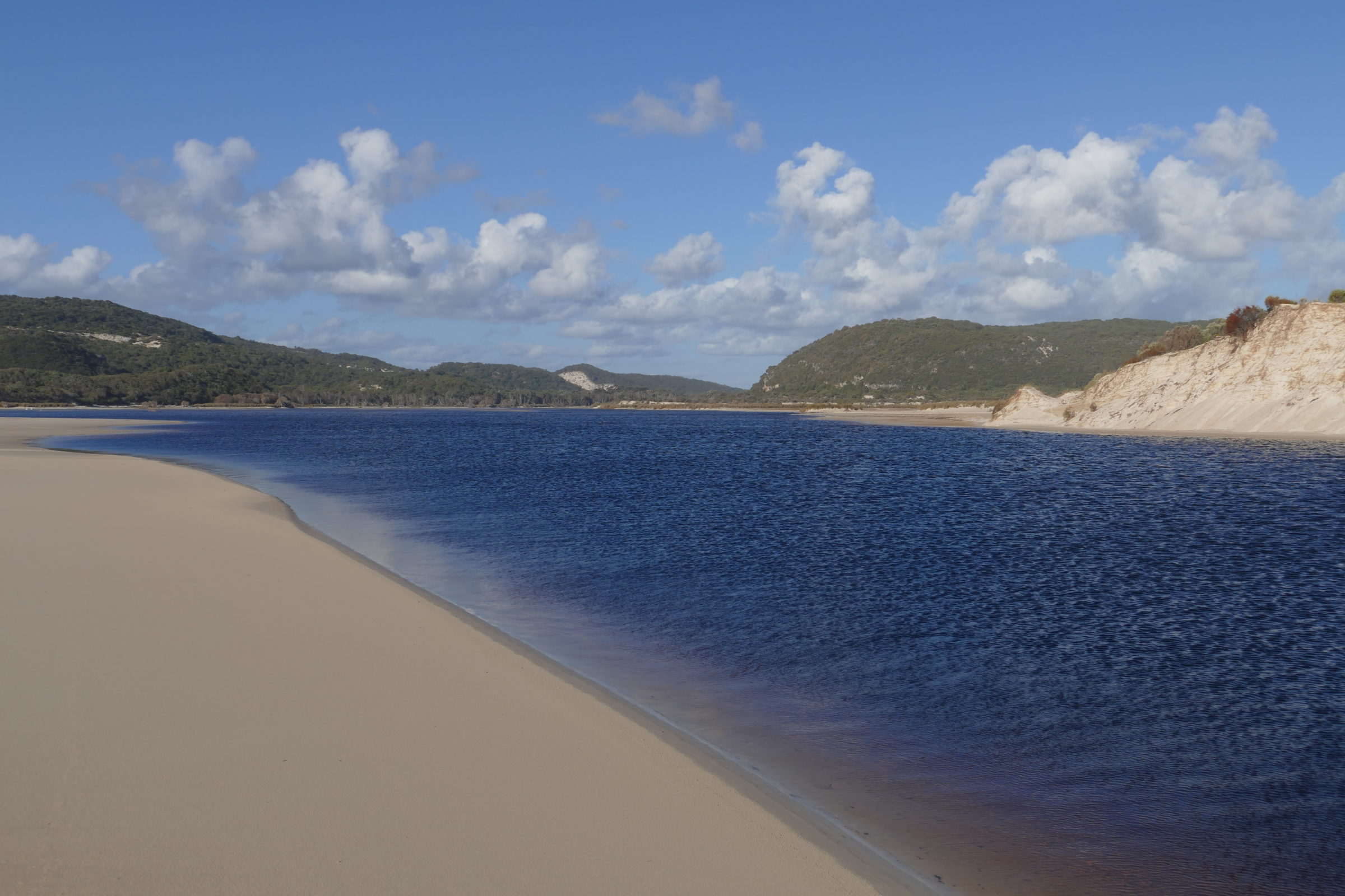
To reach the mouth of the Warren River on Yeagarap Beach one has to traverse the Southern Hemisphere’s largest landlocked mobile dune system.

The Yeagarap Dunes cover nearly 30 square kilometres.

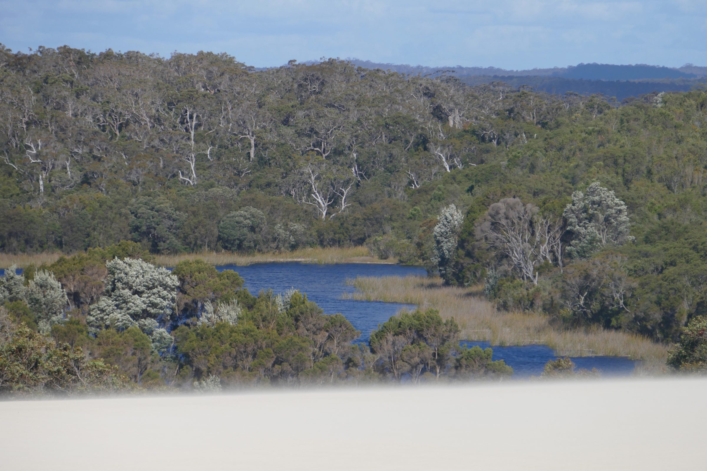
As it moves progressively further inland – at a rate of circa 4 metres per year – this dune system “eats”/buries forest,  and reshapes/shifts/dams some local lakes and wetlands.

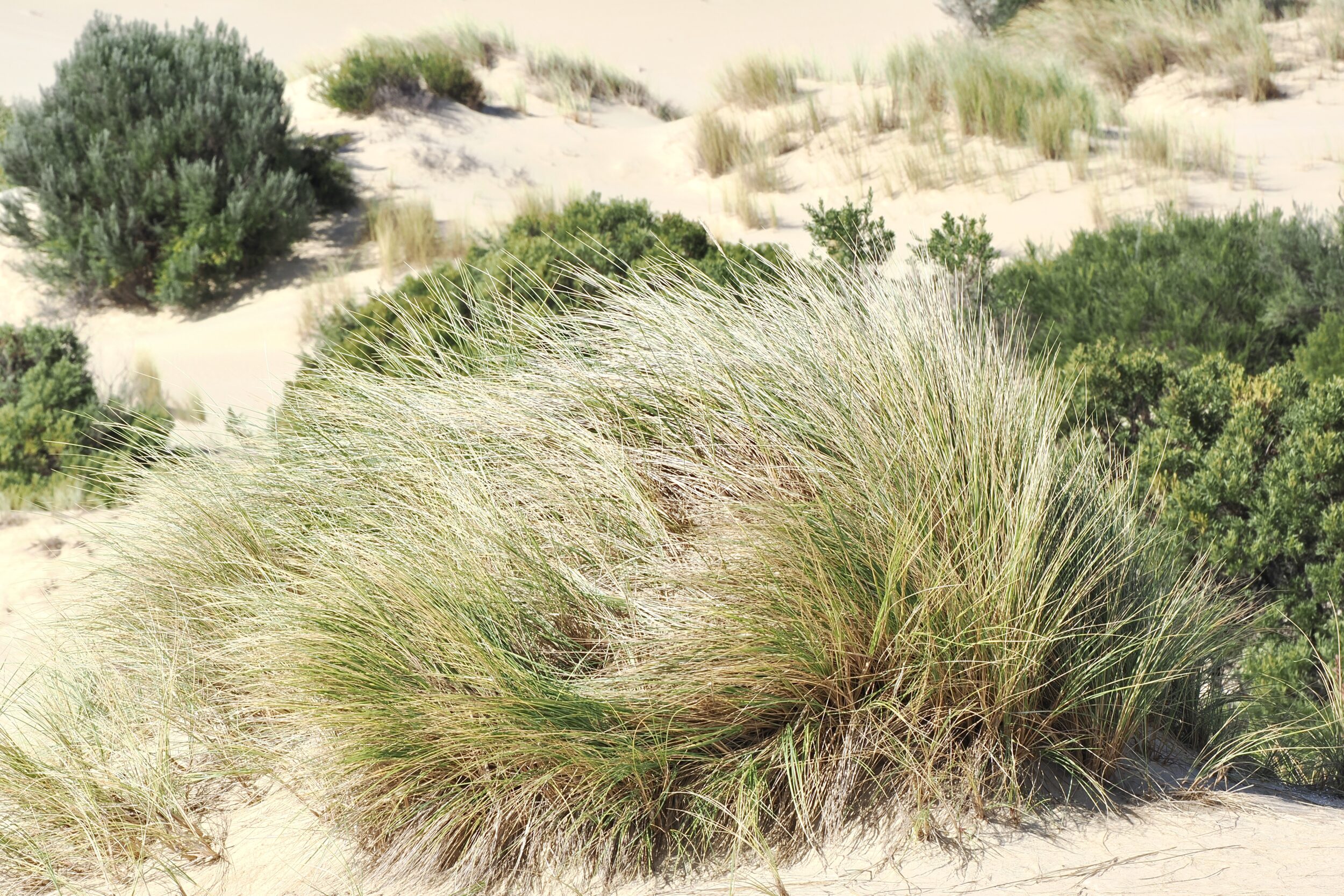
And the dune system’s own “mosaic” of vegetation patterns is far from “fixed”.

It ranges from very steep, nearly-naked sand dunes to dense bush “hollows”, where the leaf-littered sandy “floor” is exquisitely punctuated by wildflowers in springtime.

One Comment

Grand sands (#41 in series: dunes, devouring forest & wetlands)


20 kilometres southwest of Pemberton, in southwestern WA’s “Karri country”, the Yeagarup Dunes cover circa 30 square kilometres.

They are the Southern Hemisphere’s largest mobile, land-locked dune system.

The Yeagarup Dunes are currently advancing inland at circa 4 metres per year.

This post’s photos were taken from the top of their “hungry” edge, on 27 October 2016.

Comments closed

Warren River mouth (#1 in “Deep South WA meets Southern Ocean” series)


The featured image (all photos copyright Doug Spencer, 27 October 2016) was taken from Yeagarup Beach, circa 30 kilometres from Pemberton.

The Southern Ocean’s shore was just behind me, as I gazed across the Warren River’s lowermost section.

To get there, we had driven through some of Australia’s most beautiful “virgin” tall Eucalypt forest, then crossed the Southern Hemispere’s largest land-locked mobile dune system.

Comments closed