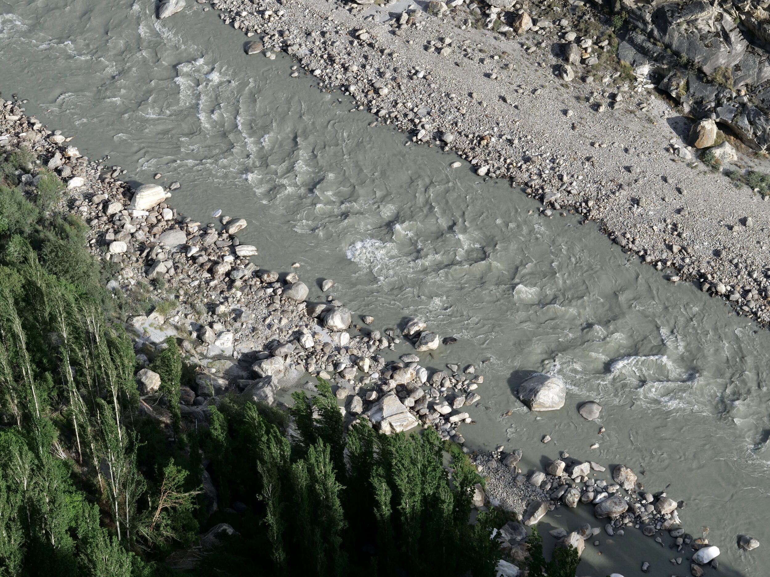
The photo above looks down from Atilt Fort’s ramparts to the Hunza River.
Discover more here; more than one thousand years old, the now well-restored fort is the oldest “monument” in Hunza.
The Hunza River is part of the Indus River’s catchment.
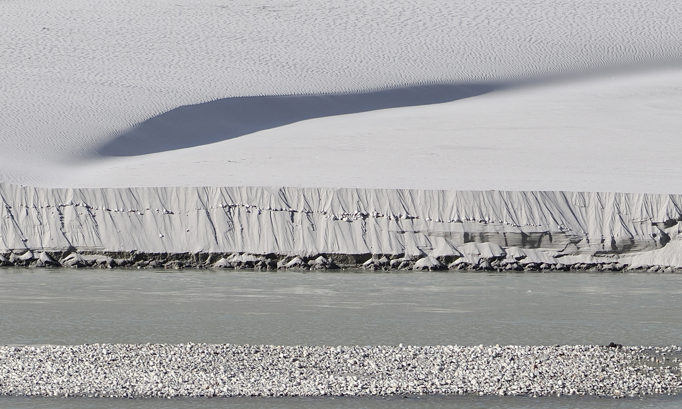
Wherever one looks in the Hunza Valley, the vistas are almost unimaginably “epic”.
Among viewpoints that are easily-reached, those on the lower of the Hunza Valley’s almost-parallel rims are especially stupendous, particularly when no clouds obscure any part of its higher rim…and the most colossal of the mountains which tower above it.
At 7,778 metres, Rakaposhi’s is “only” this planet’s 27th highest-altitude peak.
However, as its Wikipedia entry declares:
The mountain is extremely broad, measuring almost 20 kilometres (12 mi) from east to west. It is the only peak on earth that descends directly and without interruption for almost 6,000 meters from its summit to its base.