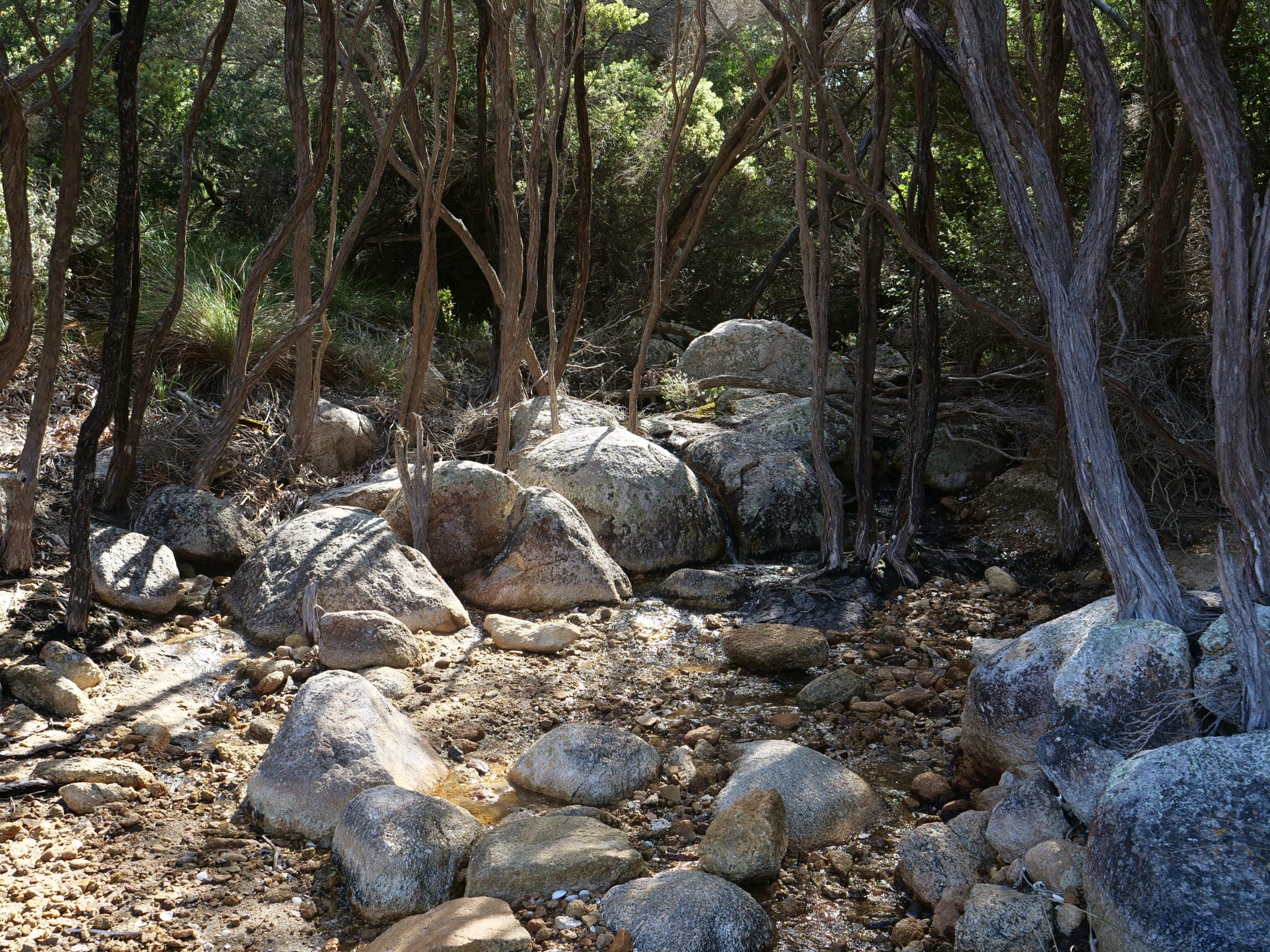
Too many Perth residents have never visited Herdsman Lake, nor given any thought to it.
Sir David Attenborough, who described Herdsman as “the Great Fen of Perth”, is keenly aware that Perth is one of very few cities to have such a substantial, internationally significant, RAMSAR-listed wetland within 10 kilometres of its GPO.
Far from pristine, and more “wetland” than “lake”, Herdsman is, nonetheless, a very special place.
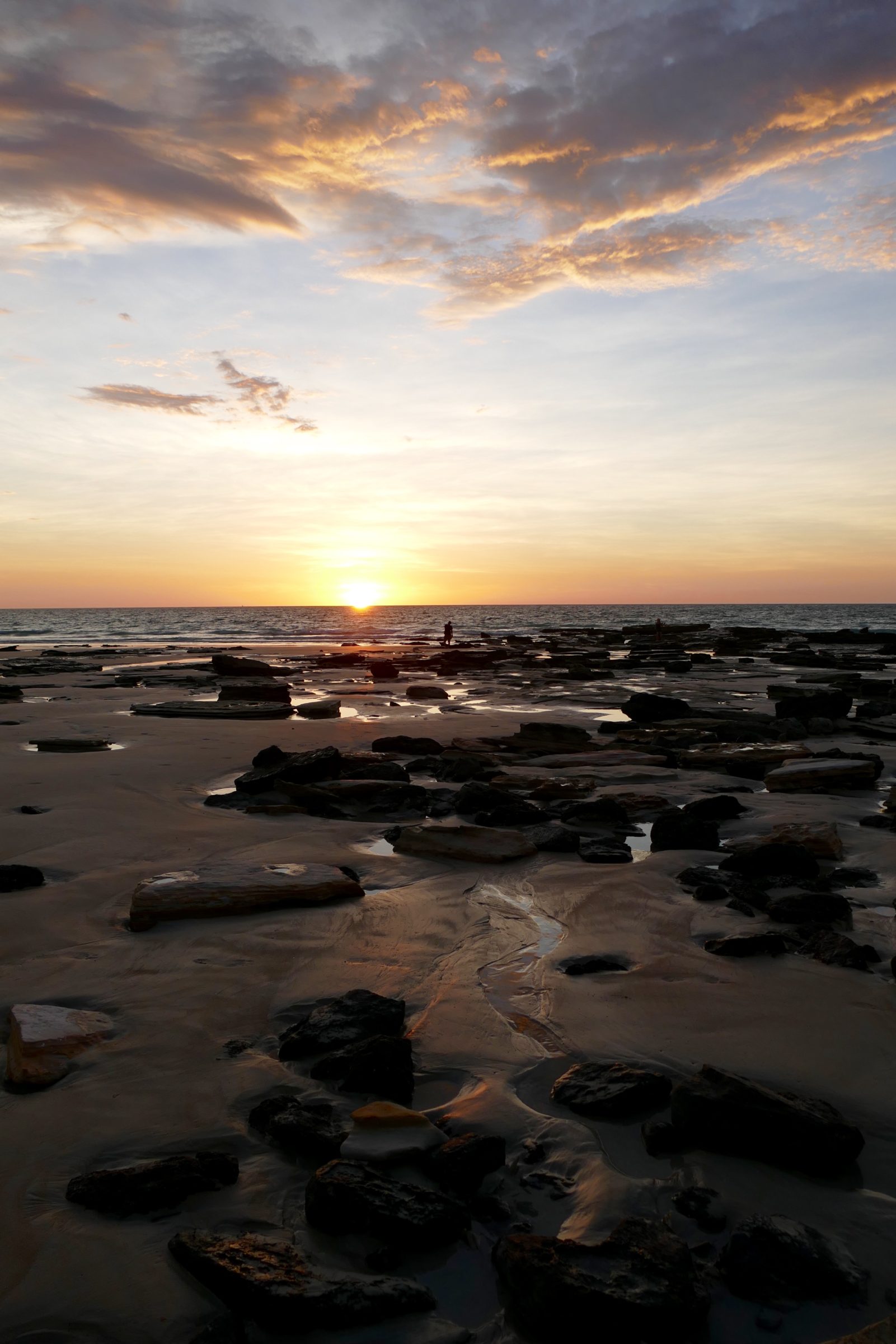
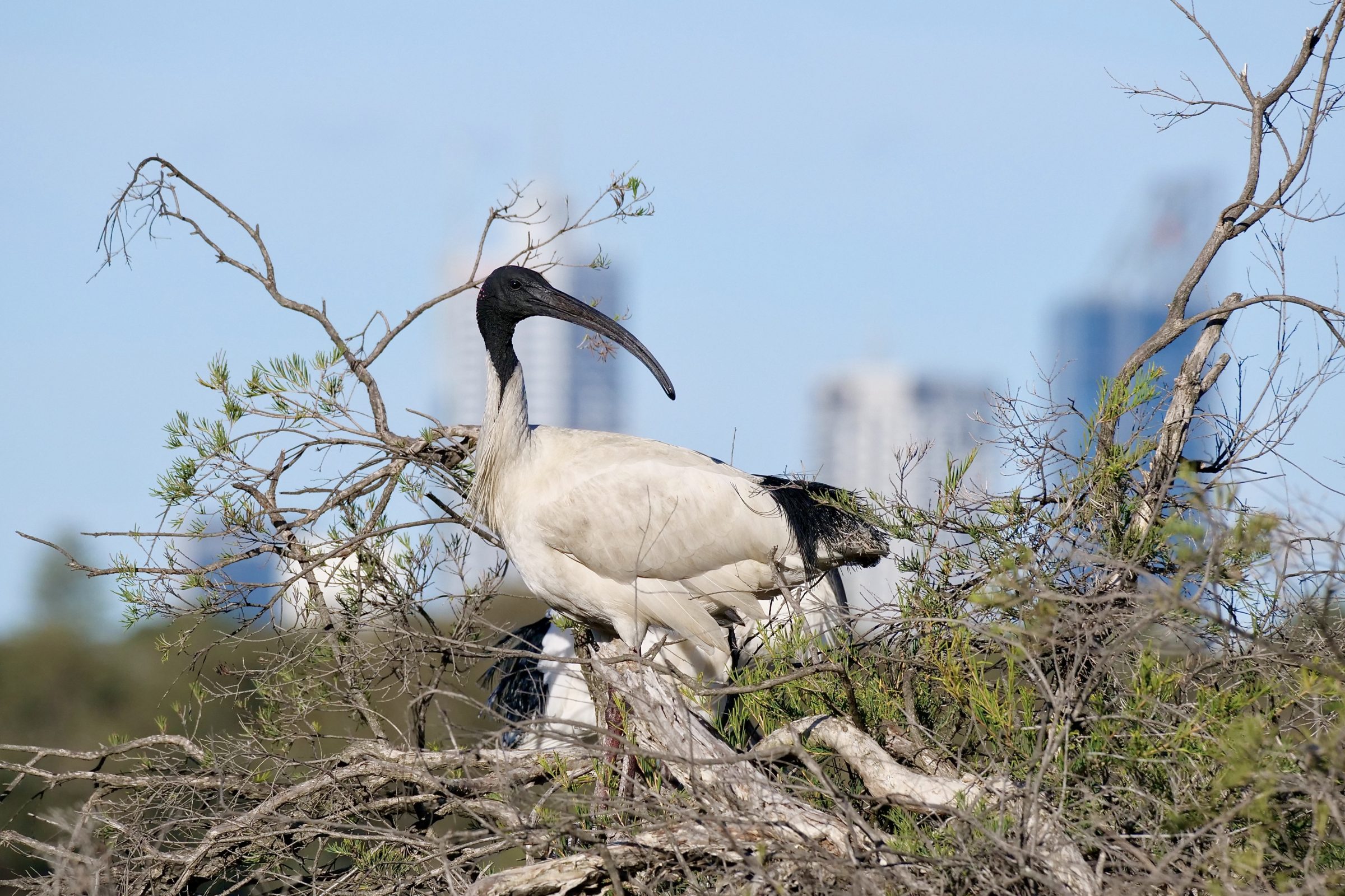
As you can see, this year’s shortest day was not at all “wintry”.
One Comment