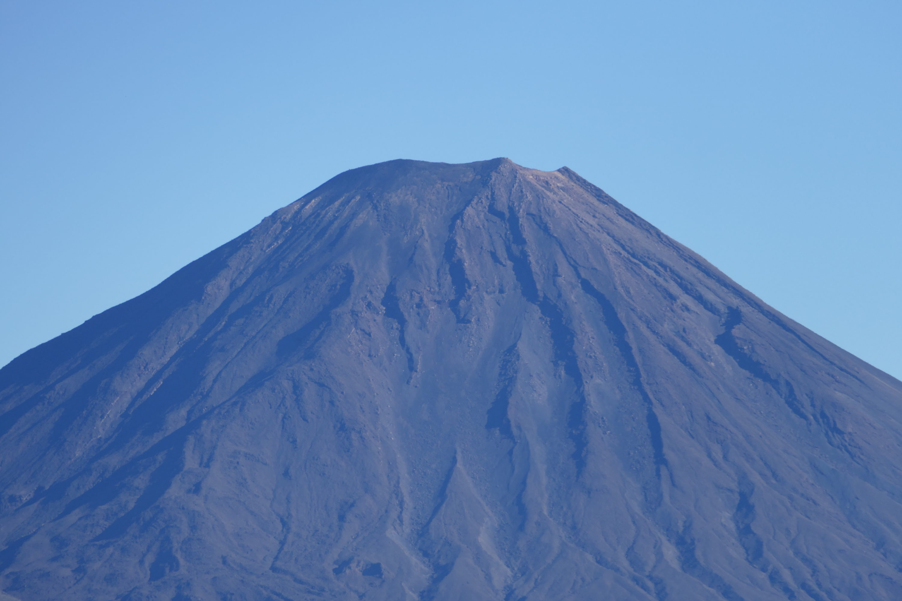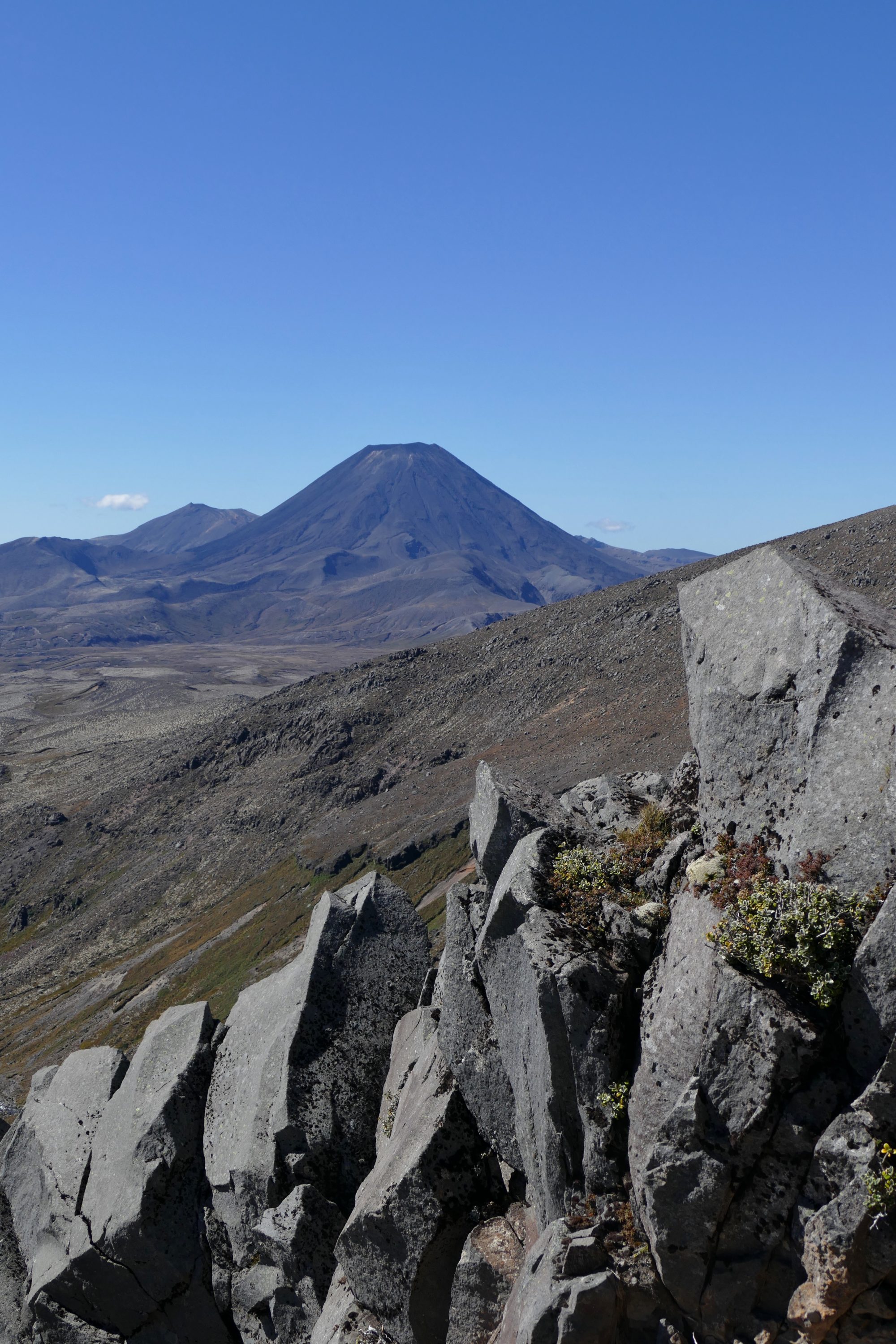
The shortest of the “big three” that dominate the central plateau on New Zealand’s North Island is Tongariro. The more “perfect” Ngauruhoe deserves an Academy Award – not just for its role as “Mt Doom” in The Lord of the Rings, but for so convincingly presenting itself as an independent entity, when it is in fact Tongariro’s “parasitic”, secondary cone. Ruapehu is the North Island’s highest peak and only currently glaciated mountain.
In March 2017, when my beloved and I enjoyed our second visit to Tongariro National Park, no volcano was erupting.
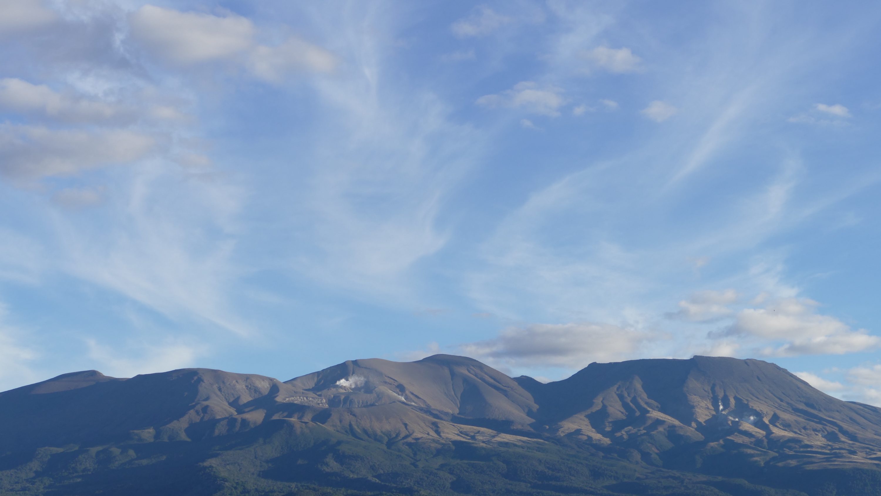
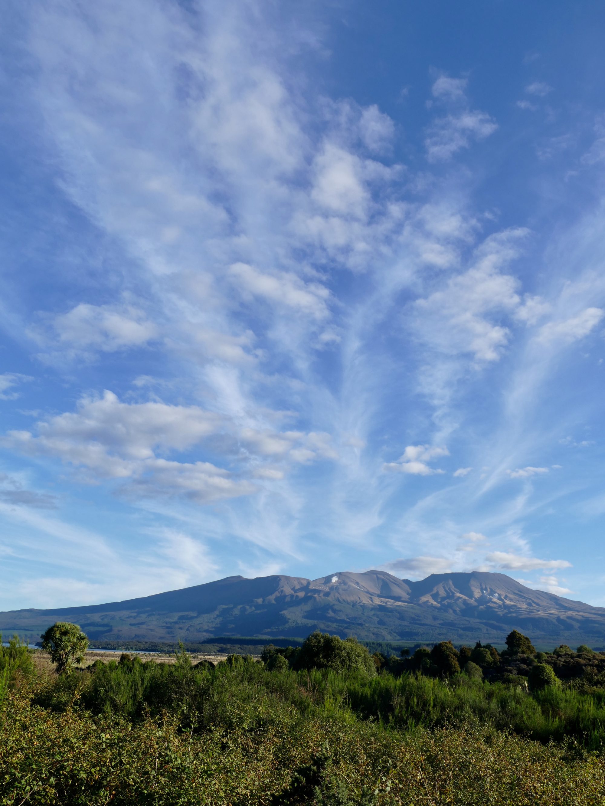
Look carefully at the photo atop this post, however, and your eyes will tell you that Mt Tongariro (1,978 metres) is definitely active.
The world’s fourth oldest National Park was established in 1887; it was the first in the world to be “gifted” by a nation’s indigenous people.
(The story of how that happened is rather more complex than most tourists realise, and the “proper” legal status of that “gift” today is more contested than most visitors imagine. Click here for more)
On the volcanic plateau vegetation varies widely and suddenly, sometimes shockingly so; this is due to any and/or all of many factors, including feral animals, volcanic eruptions, human destruction of ancient forests, far too much Pinus radiata plantation forestry, skifields, farms, erosion and climate change.
Rotopounamu’s rainforest-fringed shores are just a few minutes away from the scene above, and the Park’s so-called “desert” section (far too wet a place to qualify as such, but certainly stark, arid) is surprisingly close.
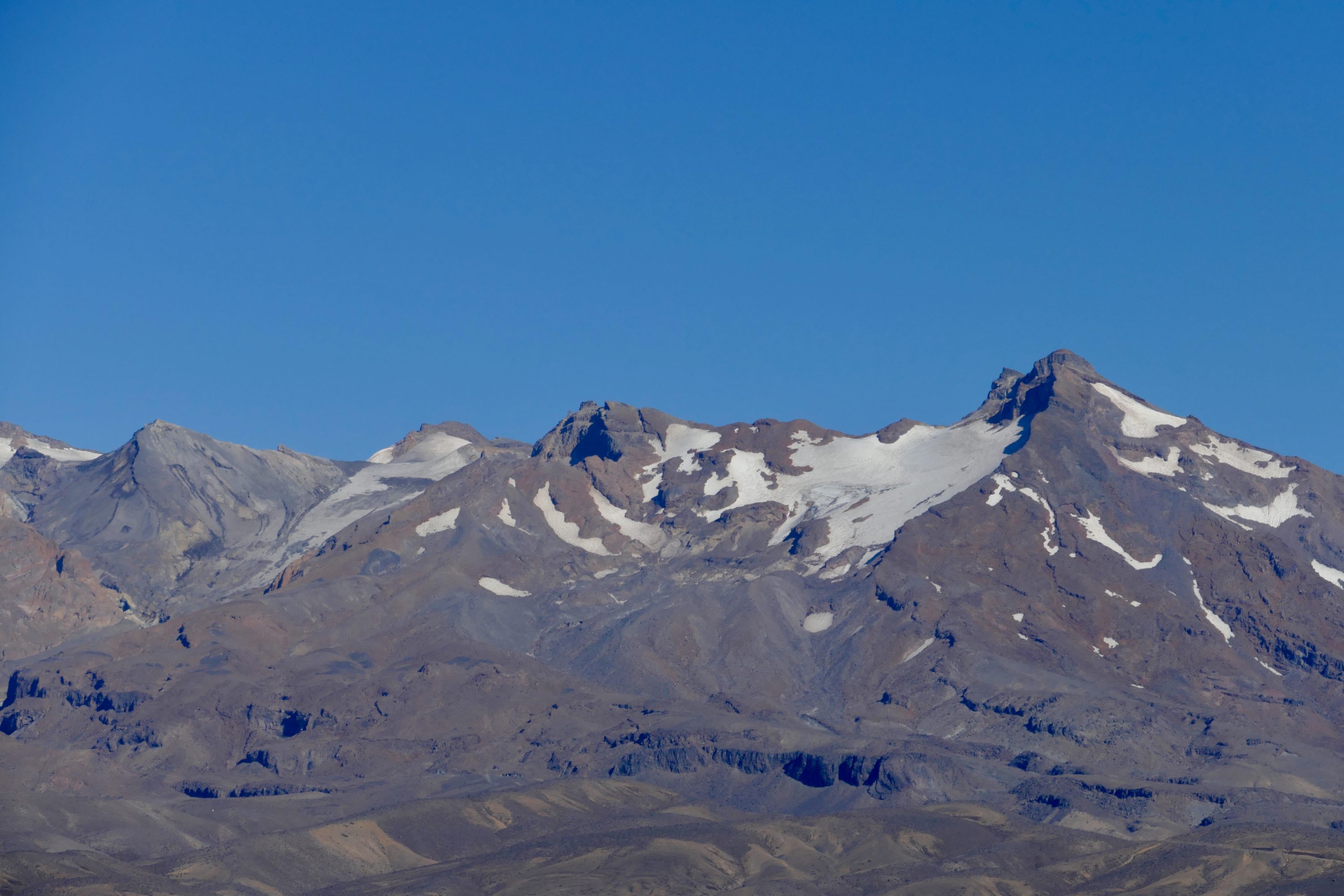
Looking up at Ruapehu from the national highway as it crosses the “desert”, the big volcano (2,797 metres) looks imposing, but bleak.
As you can see, its glaciers are retreating; some have already gone, and it appears likely that within a few years the remainder will have melted away.
Drive up Ruapehu’s south flank, however, and much of your drive up from Ohakune to the Turoa Skifield’s car park (an easy drive when we did it, a more challenging one when snow and frost set in) is through dense Beech forest.
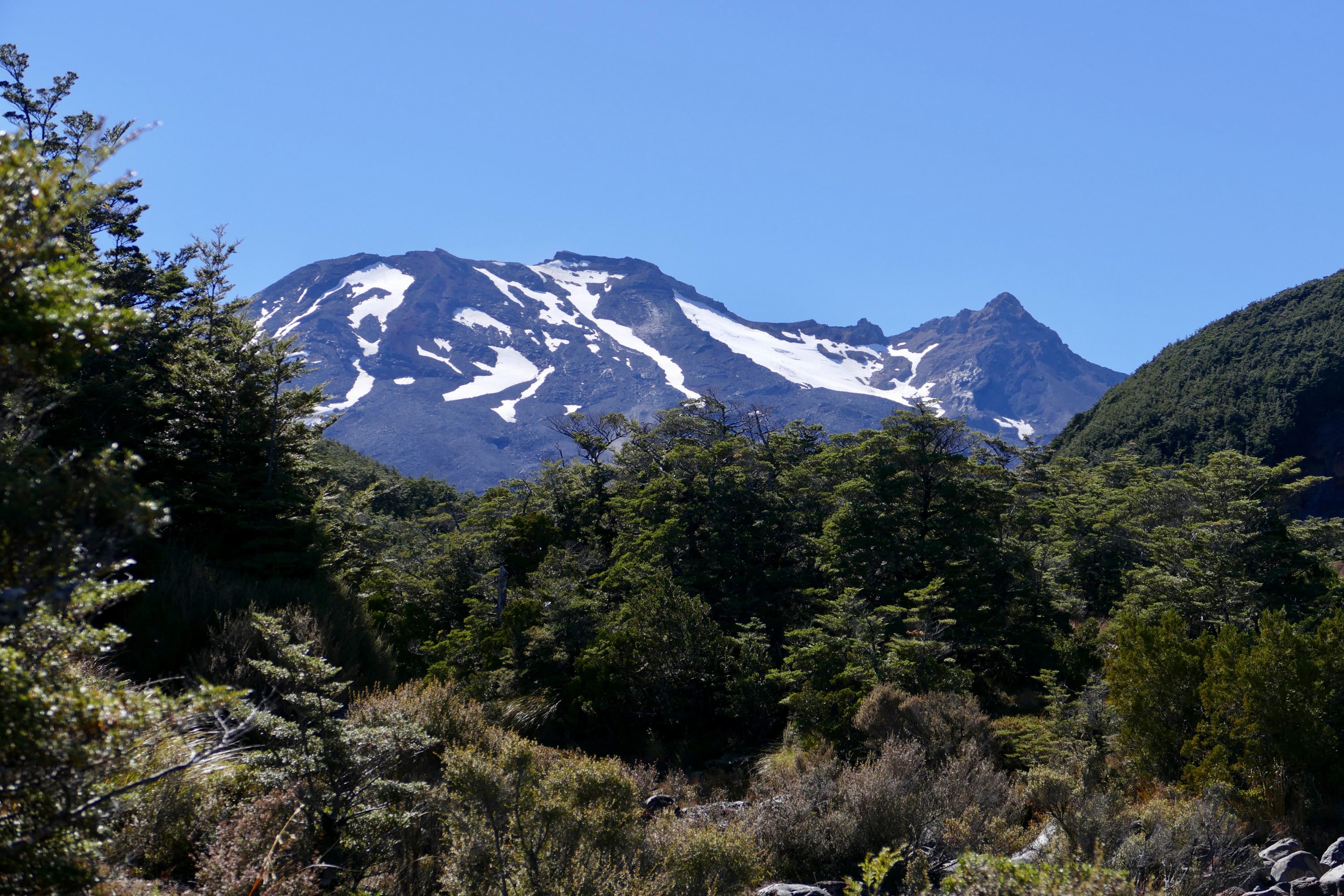
The photo above was taken a little below the alpine zone; just a little downhill from here the trees are denser, much taller…a little uphill, they cease.
Ngauruhoe has its own Pelican Yoga post
This one concludes with two more recent portraits, taken from different vantage points, on a different kind of day, and time of day.