This post answers the question posed in the immediately-preceding one.
The relevant tidal creek is Adelaide’s Port River; its “official name” (which I have never heard anybody actually use, in conversation) is “Port Adelaide River”.
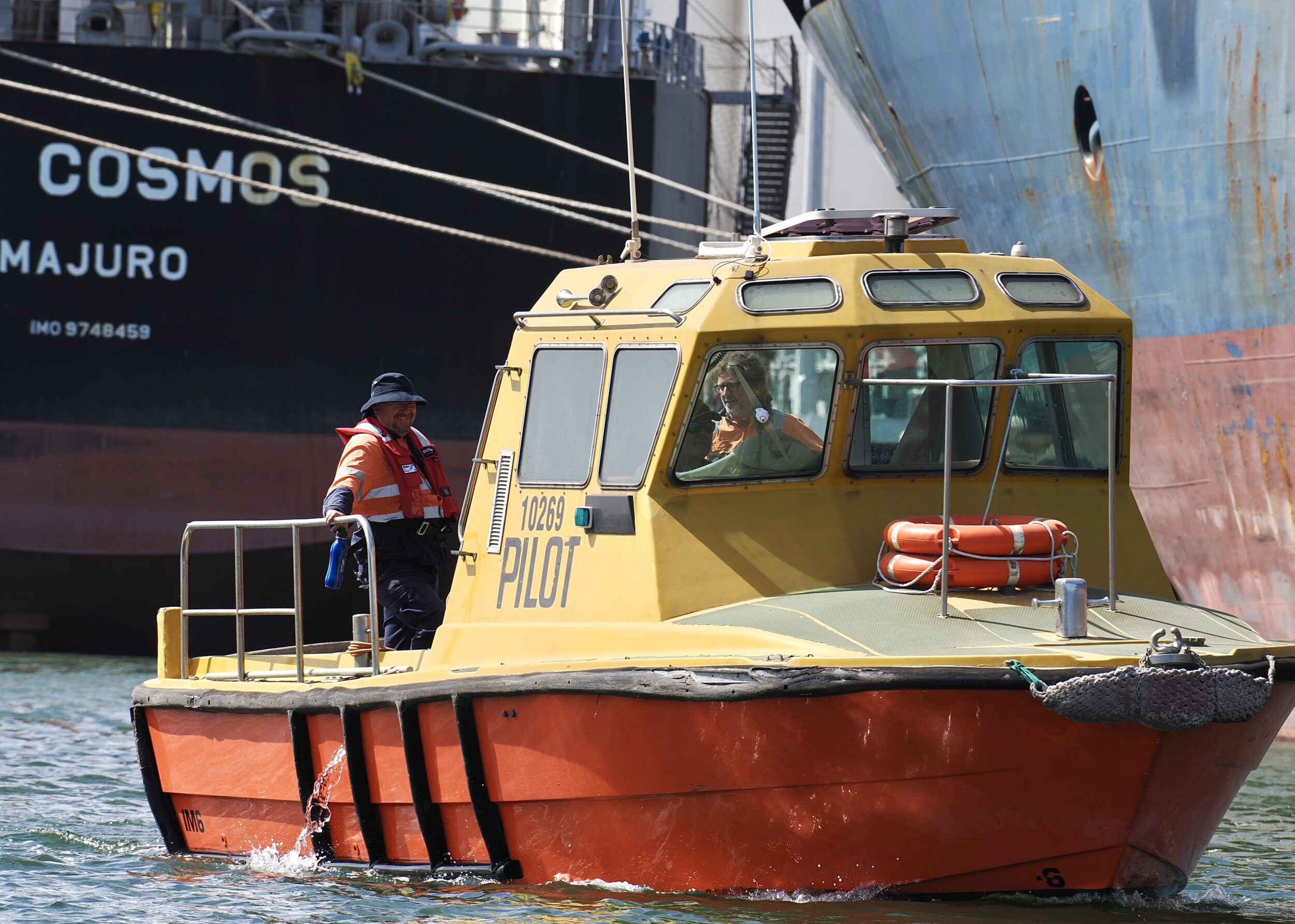
Dredged and much-modified/abused over the last 185 years, this tidal creek is the heart of Port Adelaide – South Australia’s primary seaport.
The Port River is the western branch of the largest estuary on the eastern side of Gulf St Vincent.
Just 14 kilometres southeast – and inland – is the heart of Adelaide’s CBD.
Outer Harbour was constructed early last century, in order to allow faster docking and accessibility to larger ships. The original port and its river then became the inner of two harbours which now comprise “Port Adelaide”.
Although very far from pristine, the Port River is surprisingly rich in “nature” as well as “history“.
Its dolphin population is “unique”, allegedly.
The Cutty Sark is one of just two clipper ships still extant, globally; the other (older) one is out of the water, right beside the Port River.
There are no mangroves within this post’s featured image, but the nearest of them – pictured in yesterday’s teaser – are only minutes away, via slow motorboat or kayak.
The Port River’s mangroves’ latitude is uncommonly high; most of the world’s mangroves are much closer to the equator.
All photos in this series were taken on the warm mid-afternoon of 07 March 2024, when light was harsh, flat, hazy, and particularly ill-suited to “landscape” photography and “wide” shots.
Accordingly, I deployed a (400 mm, effectively) telephoto lens, only.
Wikipedia entry is pretty good.