Mont Blanc – 4,807 metres above sea level – is western Europe’s highest mountain.
Were it to retain its elevation, but relocate to Colombia, Mont Blanc would be merely that nation’s 30th highest peak.
You may be surprised to know that 13 of the 29 Colombian peaks that reach higher than Mont Blanc – including the 4 tallest ones – are not in the Andes.
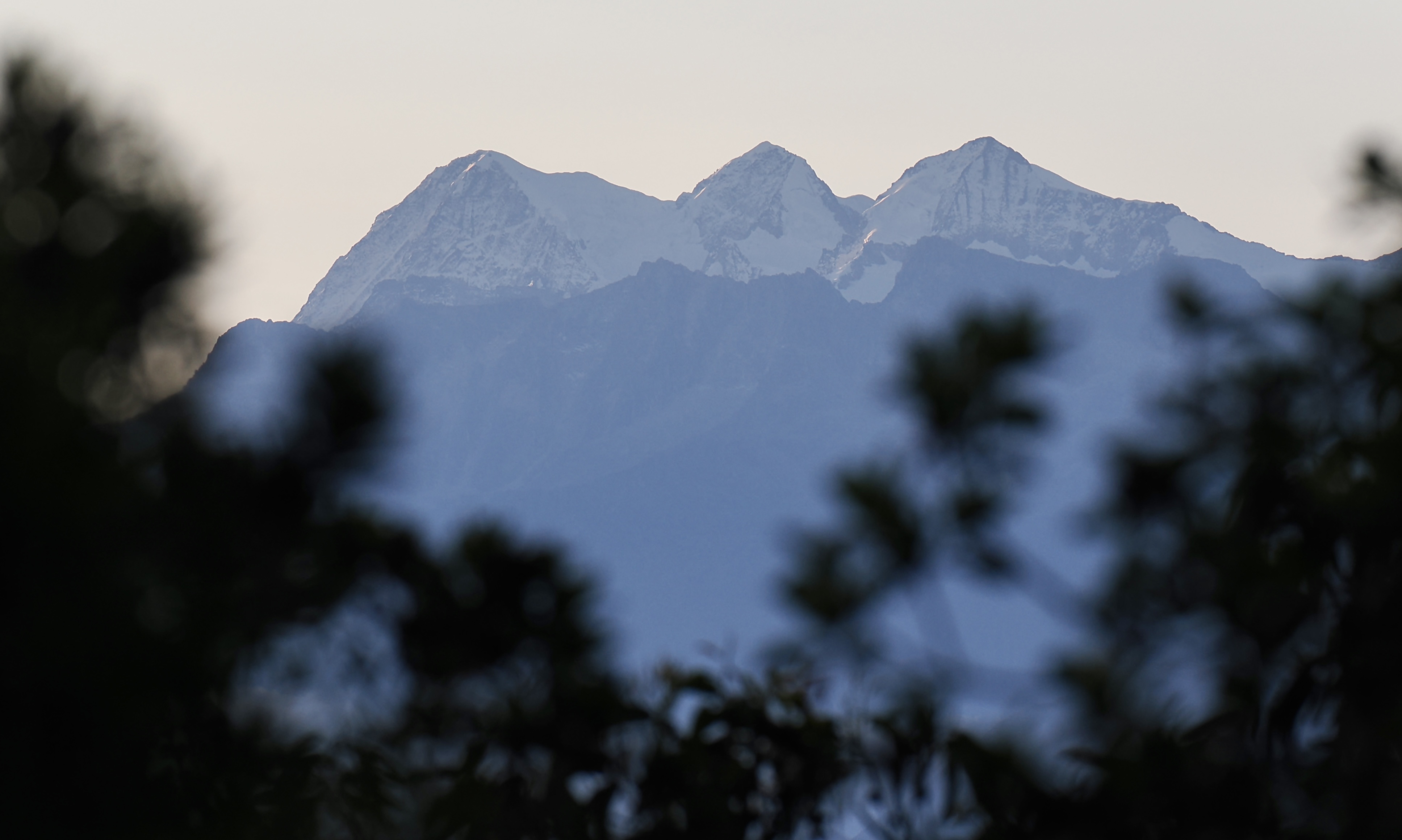
Colombia’s highest mountains are in the entirely separate & much more compact Sierra Nevada de Santa Marta, in northern Colombia.
The Sierra Nevada de Santa Marta’s glaciated peaks are the world’s tallest coastal mountains.
Leave a Comment