Skip to content →

Tag: Mountains

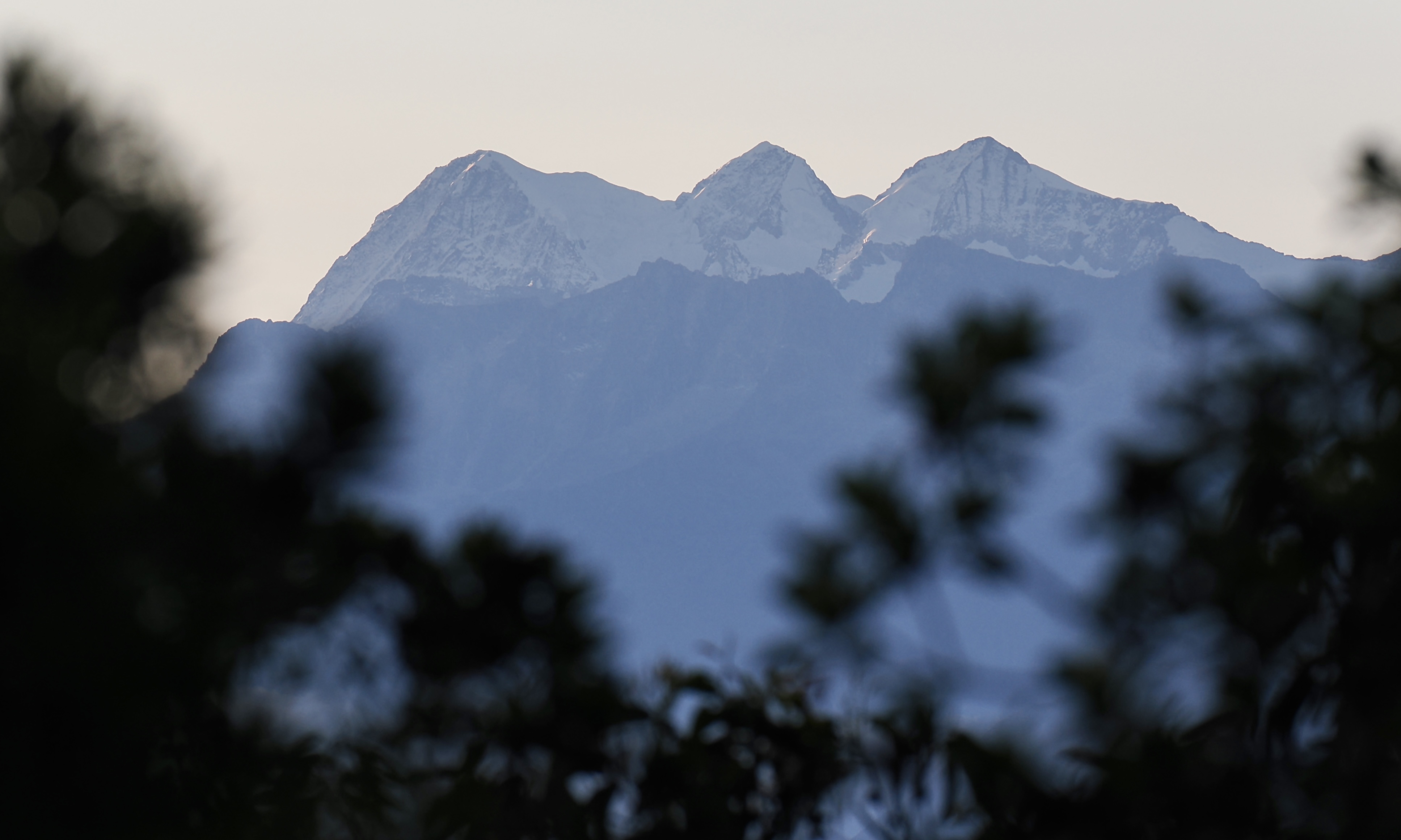
Aspects of Colombia (#19 in teaser series: highest peaks)

Mont Blanc – 4,807 metres above sea level – is western Europe’s highest mountain.

Were it to retain its elevation, but relocate to Colombia, Mont Blanc would be merely that nation’s 30th highest peak.

You may be surprised to know that 13 of the 29 Colombian peaks that reach higher than Mont Blanc – including the 4 tallest ones – are not in the Andes.

Colombia’s highest mountains are in the entirely separate & much more compact Sierra Nevada de Santa Marta, in northern Colombia.

The Sierra Nevada de Santa Marta’s glaciated peaks are the world’s tallest coastal mountains.

Leave a Comment

Aspects of Colombia (#18 in teaser series: foothills & bamboo)

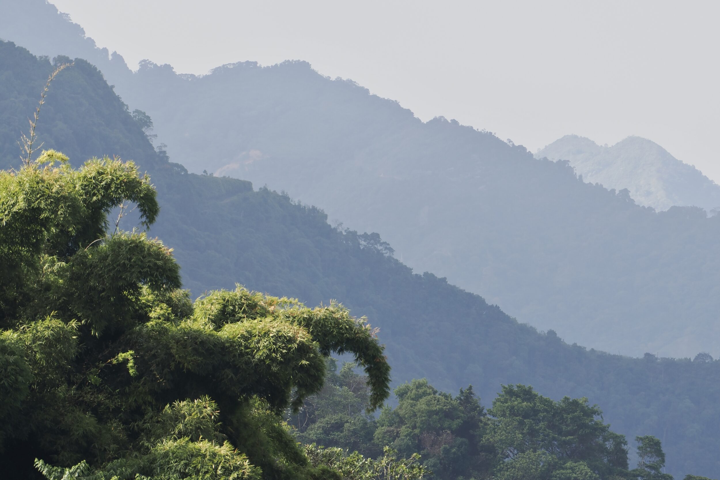
This post’s photo was taken on the morning of 12 March 2026, en route to our coffee experience.

Rainforest still clothes a deal of the Sierra Nevada de Santa Marta’s foothills.

I have no idea of the pictured, obviously-large bamboo’s particular species.

Very probably, it is not one introduced from Asia.

Whilst Asia is bamboos’ global “hotspot”, all other inhabited continents – except Europe – also have bamboo species,

The strongest of them all – Guadua angustifolia – is native to northern South America & Central America.

Guadua angustifolia is also the world’s second largest bamboo; right now, you just might be looking at an example thereof!

Leave a Comment

Aspects of Colombia (#4 in teaser series: naturally-abstract @ 4,300 metres)


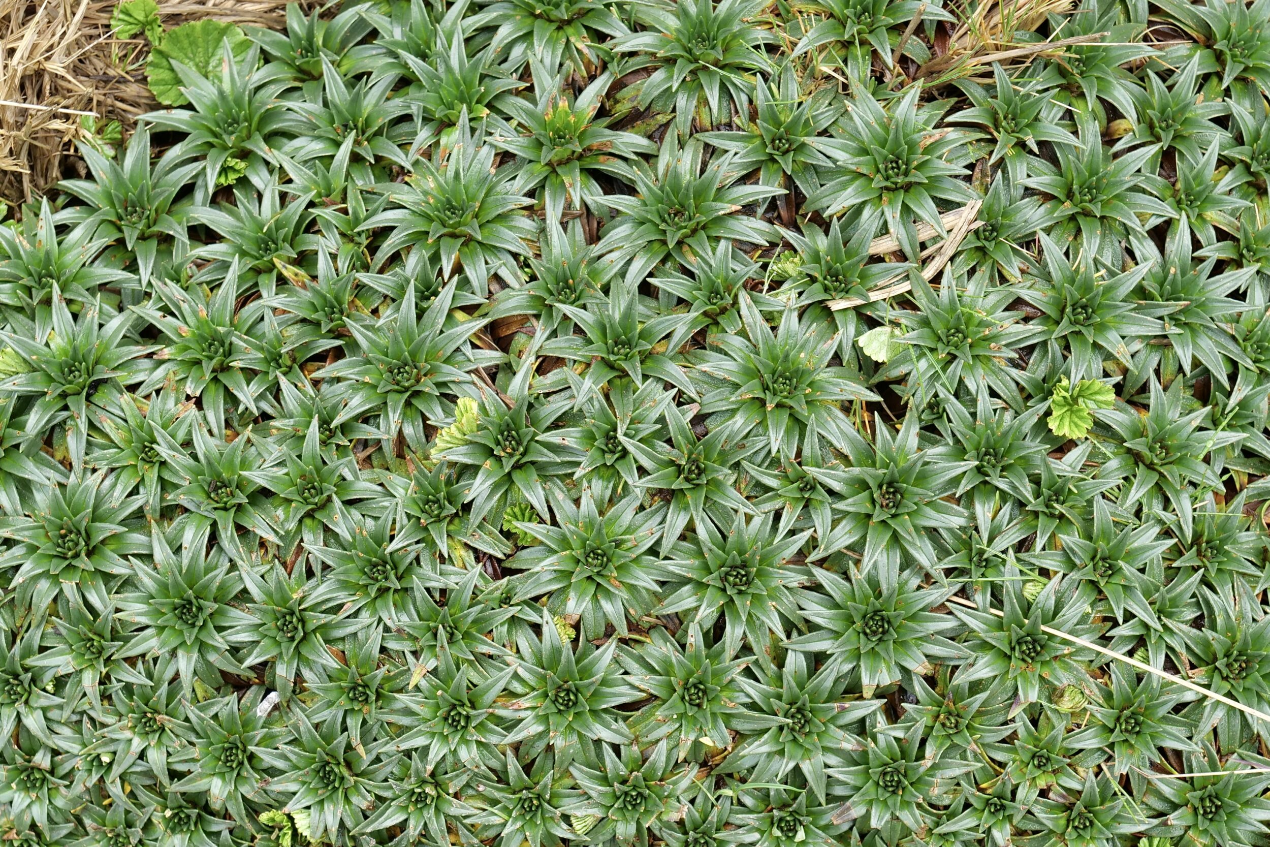
The “big monks” (frailejones) are páramo‘s signature plants, & also this tropical tundra’s tallest.

Its “little guys” are also striking…& there are many different kinds.

Páramo is, I think, the most species-diverse of any seriously-high altitude ecosystem.

Comments closed

Aspects of Colombia (#3 in teaser series: “big monks” of páramo)


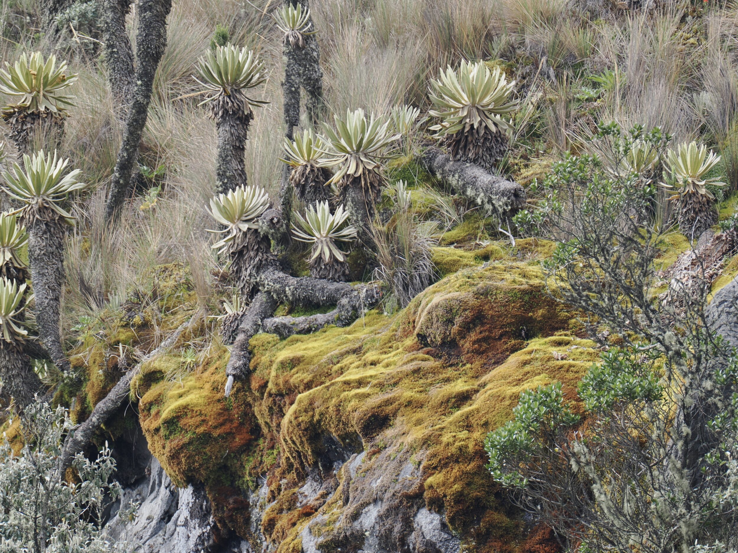
Members of the genus Espeletia are the signature plants of páramo – a wondrous-strange “tropical tundra” ecosystem which exists only in certain very high, very wet parts of northern South America & southern Central America.

Much páramo has been destroyed (or much-degraded) by humans & their livestock; climate change is another existential threat.

More than half of the surviving páramo is in Colombia.

Espeletia species are generally known as frailejones, which translates into English as “big monks”.

To Australian eyes, they look a bit like our so-called “grass trees”, but they are not even remotely-close relatives.

Espeltia, Xanthorrhoea & Kingia genus members do, however, share one reality: all are neither grasses nor trees.

The frailejones’ actual “cousins” are sunflowers!

Comments closed

Looking down (#48 in series: “1” of 2 close views of shimmering water)


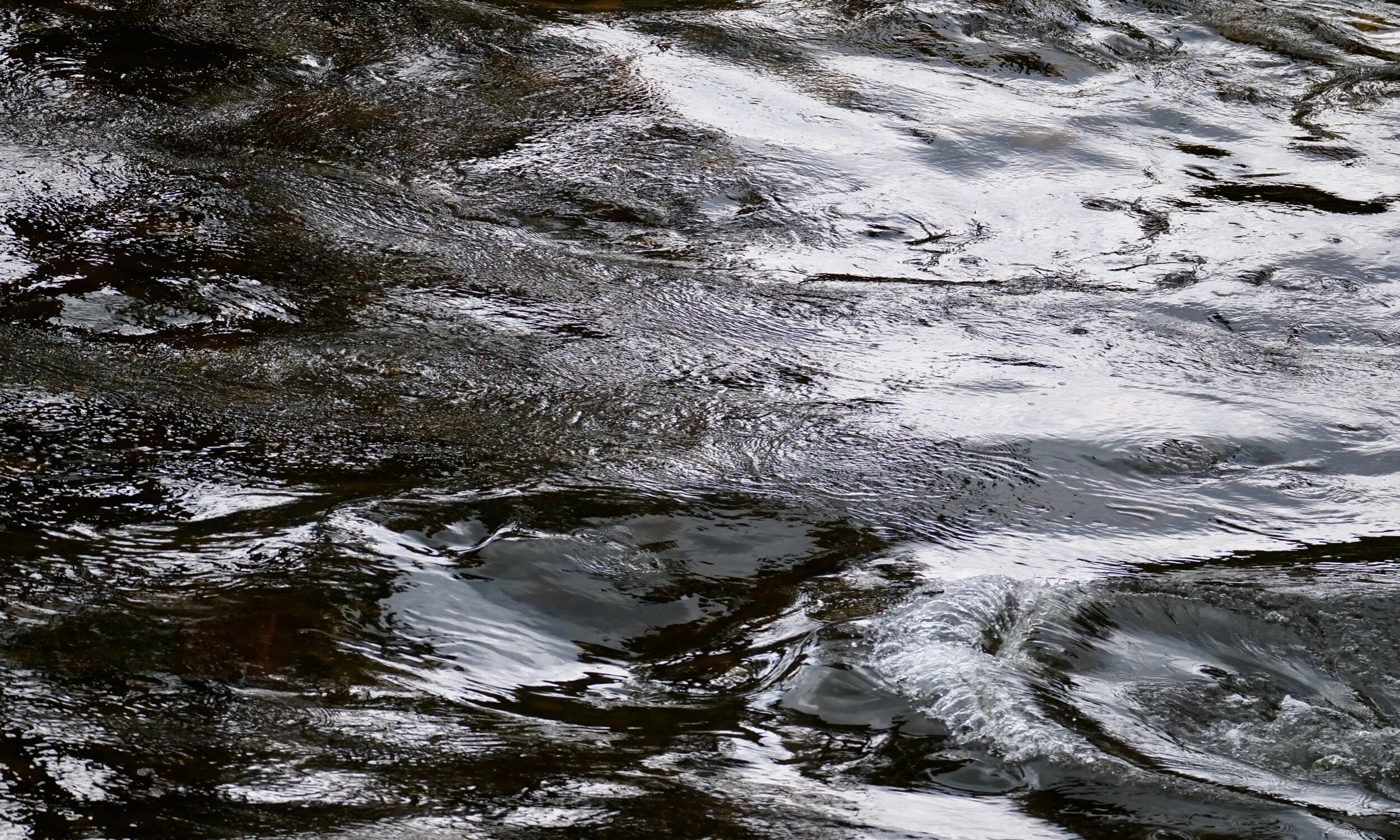
Today’s photo was taken in October 2018.

On an overcast afternoon in Victoria’s “high country”, my beloved and I stood beside a fast-flowing stream, downhill (and circa 20 ks distant) from the summits of Mount Hotham et al, but still well above foothills and plains.

Comments closed

Looking down (#47 in series: on Pakistan’s Hunza River)


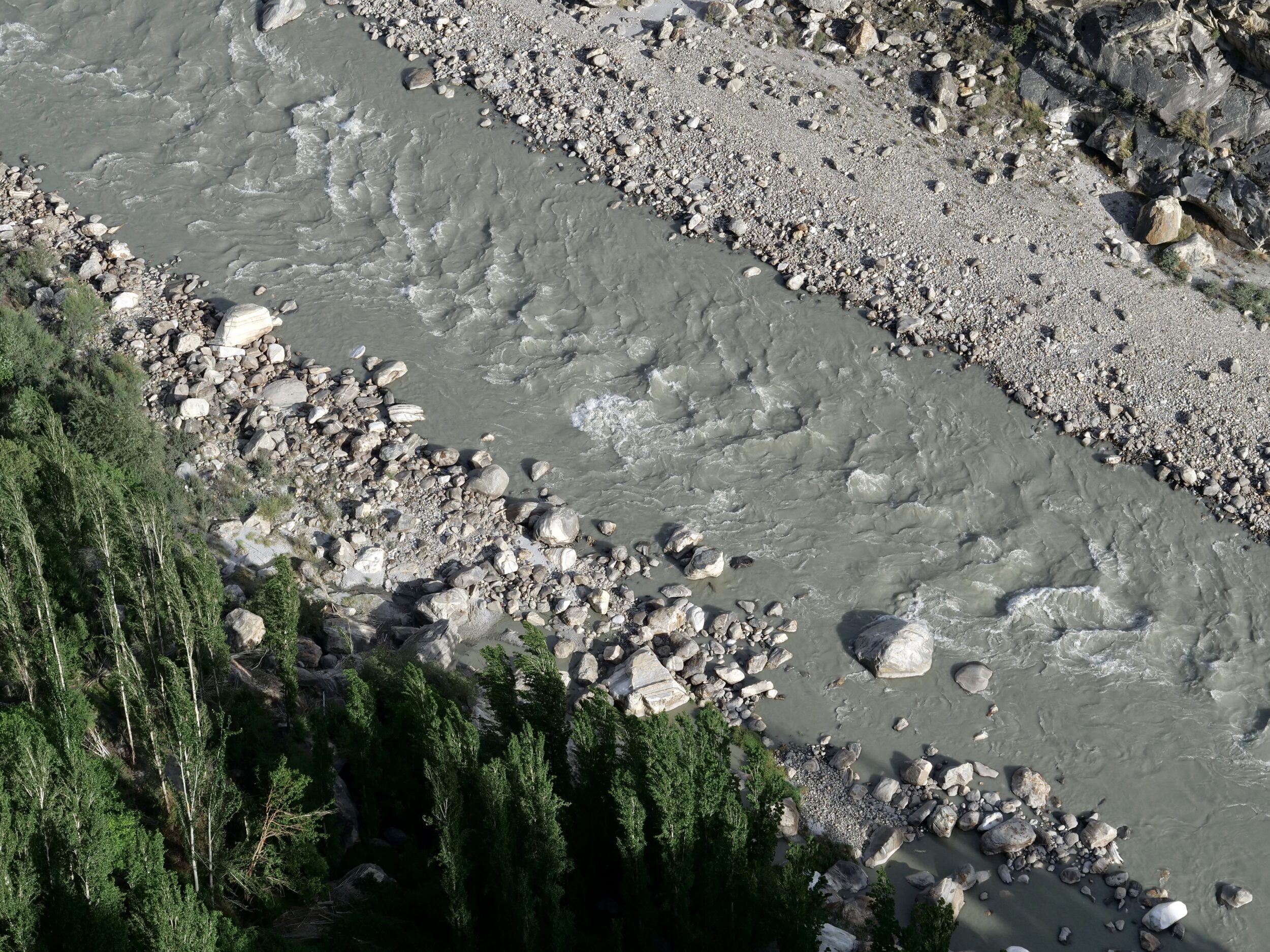
The photo above looks down from Atilt Fort’s ramparts to the Hunza River.

Discover more here; more than one thousand years old, the now well-restored fort is the oldest “monument” in Hunza.

The Hunza River is part of the Indus River’s catchment.

Wherever one looks in the Hunza Valley, the vistas are almost unimaginably “epic”.

Among viewpoints that are easily-reached, those on the lower of the Hunza Valley’s almost-parallel rims are especially stupendous, particularly when no clouds obscure any part of its higher rim…and the most colossal of the mountains which tower above it.

At 7,778 metres, Rakaposhi’s is “only” this planet’s 27th highest-altitude peak.

However, as its Wikipedia entry declares:

The mountain is extremely broad, measuring almost 20 kilometres (12 mi) from east to west. It is the only peak on earth that descends directly and without interruption for almost 6,000 meters from its summit to its base.

Comments closed

Looking down (#40 in series: on one of the darkest & fastest of its kind)


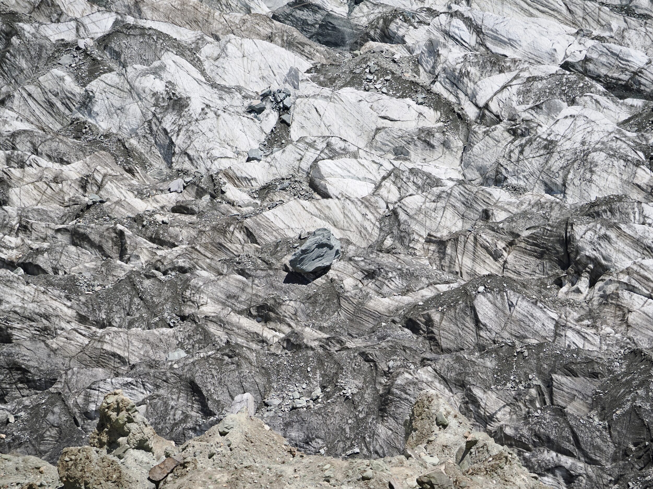
The featured image was not shot in monochrome.

Its colour palette is accurate; if my camera had looked straight up rather than almost straight down, the image would have largely been blue, flecked with white and grey.

I took the photo in a “remote” part of northern Pakistan’s Gilgit-Baltistan province in May 2024.

What appears to be a rock is a rock; I have no idea of its mass, but am sure it would weigh at least several tonnes.

In the context of the relevant valley, however, that rock is a speck!

Comments closed

Looking Down (#7 in series: Kaikoura “4” – a short, speedy journey)


If one were to stand atop the summit of Manakau – the Seaward Kaikoura Range’s highest peak – one would be 2,608 metres above the Pacific Ocean.

In a straight line, that Ocean’s shore would be just 12 kilometres away.

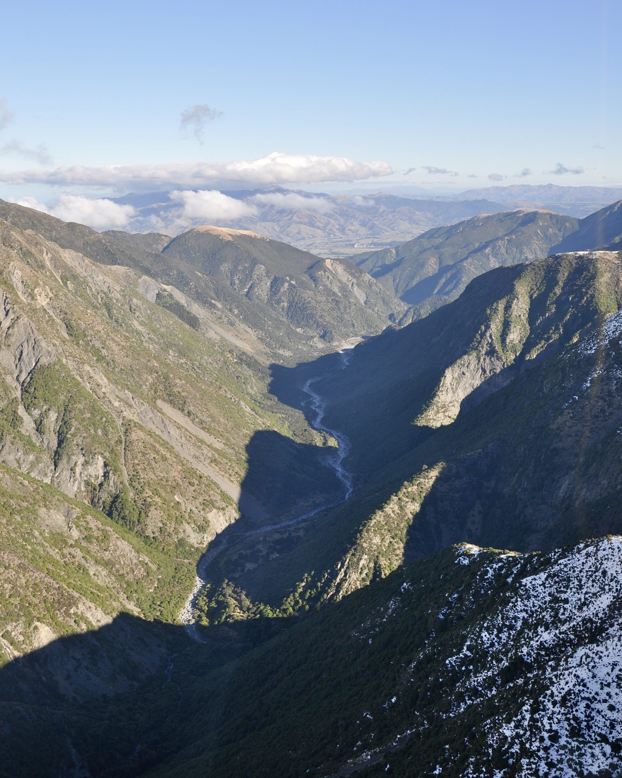
Rivers that rush down steep mountains and then meander across a coastal plain, do not flow in straight lines, but the Kaikoura’s rivers are all very short.

If I have correctly identified the pictured one, it is very steep indeed –  descending 1,900 metres in just 26 kilometres!

(Australia’s longest river – the Murray – descends 1430 metres, over more than 2,500 kilometres)

Comments closed

Looking Down (#6 in series: Kaikoura “3” – Seaward Kaikouras in winter)


Unavoidably, a helicopter “joyride” is noisy, expensive, brief.

However, over several decades, every one I have undertaken has been a wonderful experience.

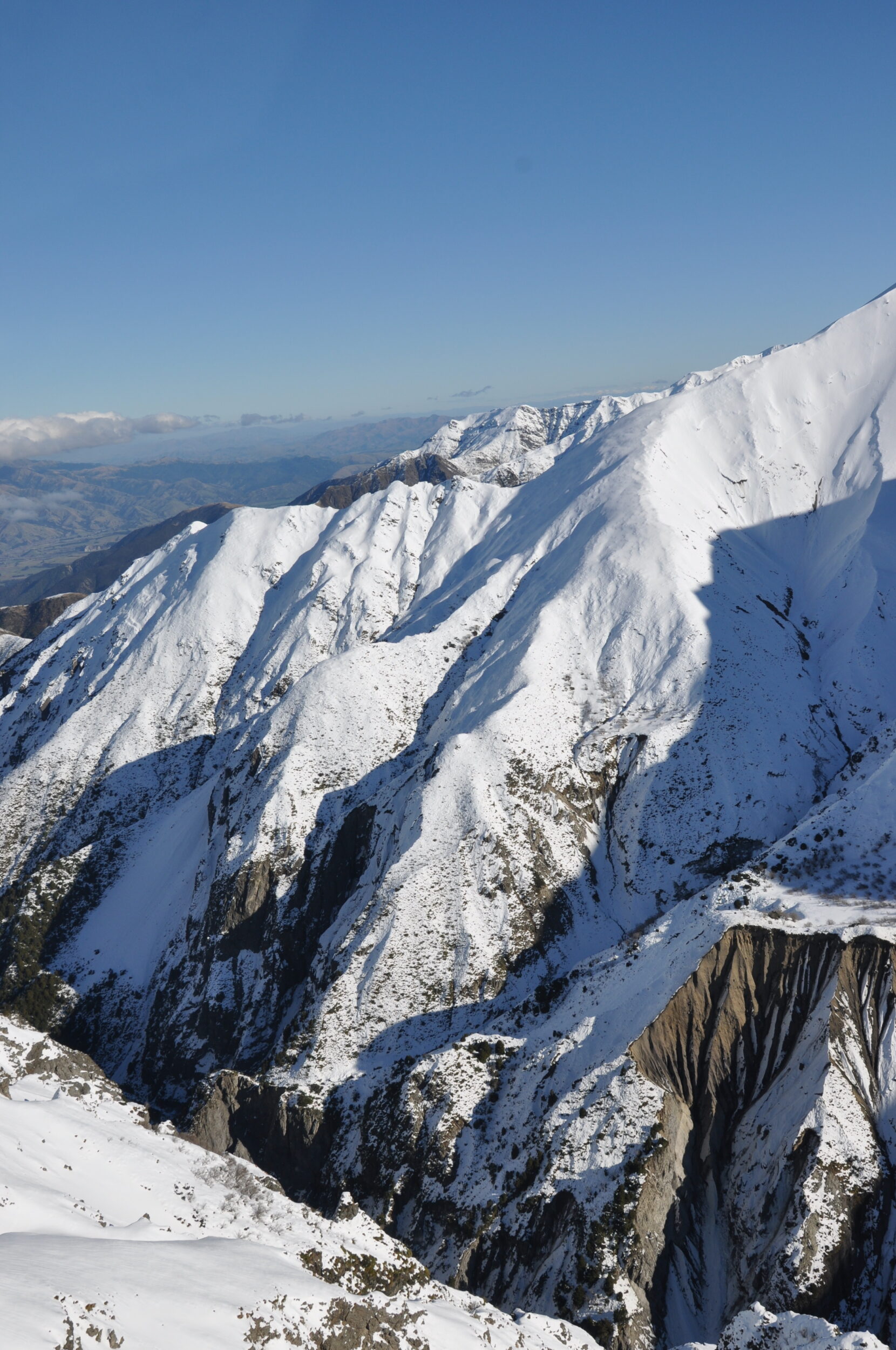
On the afternoon of 14 July 2010 our luck was “bad” – too-strong winds arrived ahead of “schedule”, so our eagerly-anticipated “landing in the snow” was ruled out.

It was, nonetheless, a glorious flight…all less-than-thirty minutes of it.

Comments closed

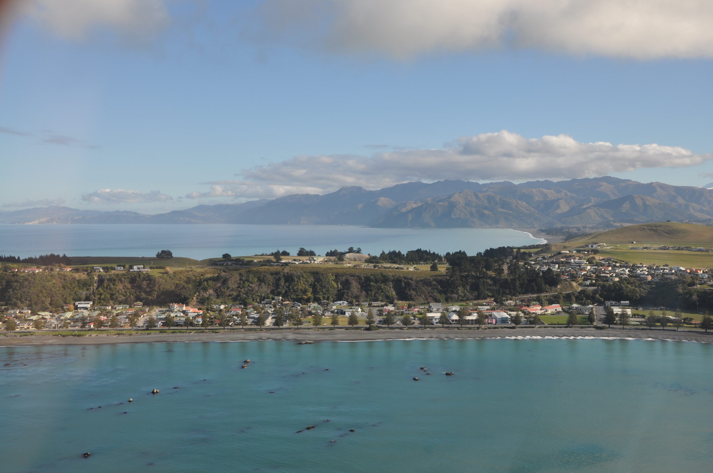
Looking Down (#5 in series: Kaikoura “2” – looking south to town & peninsula)

The featured image was taken from a modest altitude, as “our” helicopter was returning to its base, not far from Kaikoura township.

My photo shows the less spectacular (landward) end of Kaikoura Peninsula and town, the bay on the far (southern) side, and the hills (Australians would call them “mountains”) behind it.

Inland from town and peninsula, the northern side of the local terrain is very much more spectacular, especially in winter and spring.

Comments closed