Skip to content →

Tag: Xinjiang

Triple K “expedition” (#39 in teaser series: al fresco lunch, a little more than 3,600 metres ASL)


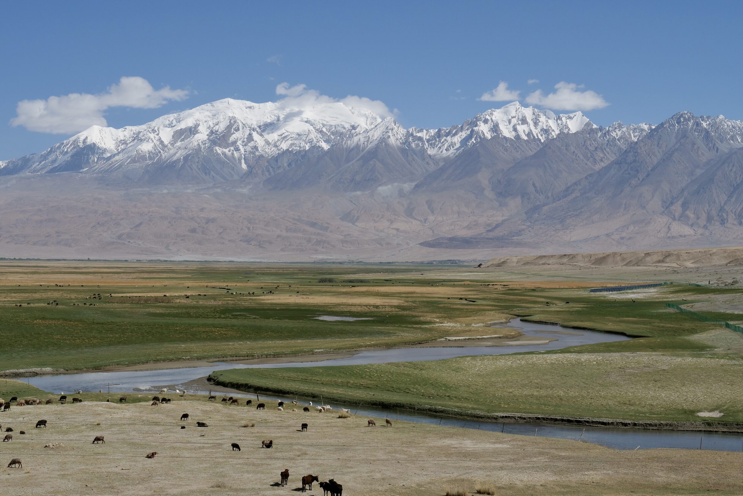
Not directly present in my photo, but close by and clearly visible to any sighted human, standing a few footsteps away from our table: Karakul Lake – the Pamir Plateau’s highest substantial lake.

The highest of the mountains that look down upon its shores is more than 4, 000 metres further above sea level.

Among mountains outside of the Himalaya, Karakoram and Hindu Kush ranges, Kongur Tagh (7,649 metres, the Pamirs’ tallest) is the highest of them all.

Our lunch was absolutely delicious; “great view” and “great food” are not always mutually-exclusive.

Comments closed
Triple K “expedition” (#38 in teaser series: tourism at Karakul Lake)


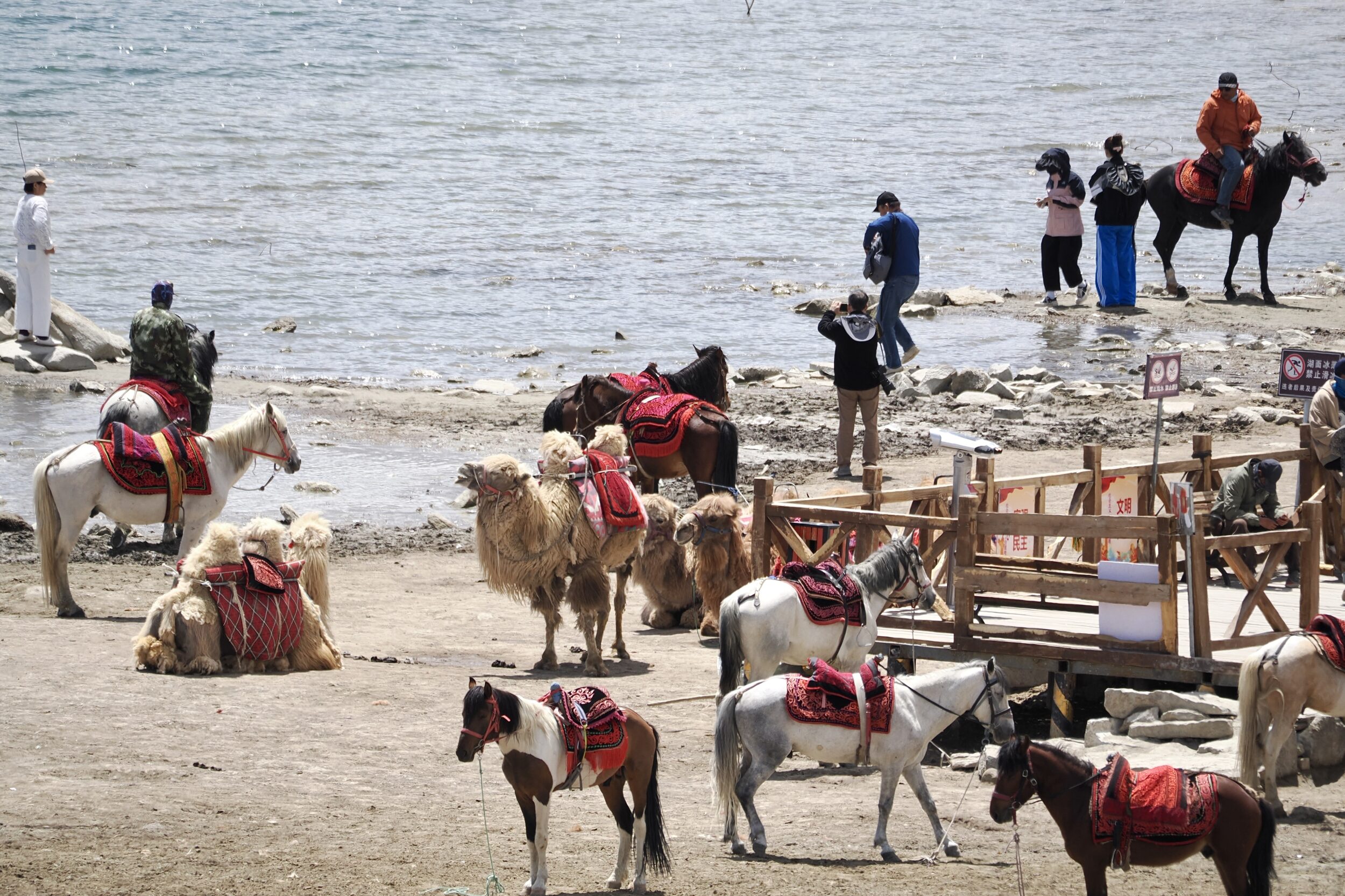
Upon reaching the very popular tourist stop beside Karakul Lake –  just off the Chinese section of the Karakoram Highway, between Tashkurgan and Kashgar –  I understood the purpose of the horse and rider pictured in this series’ previous post.

For the moment at least, they were engaged in the tourism trade, rather than herding.

Comments closed

Triple K “expedition” (#37 in teaser series: single-horsepower Mercedes?)


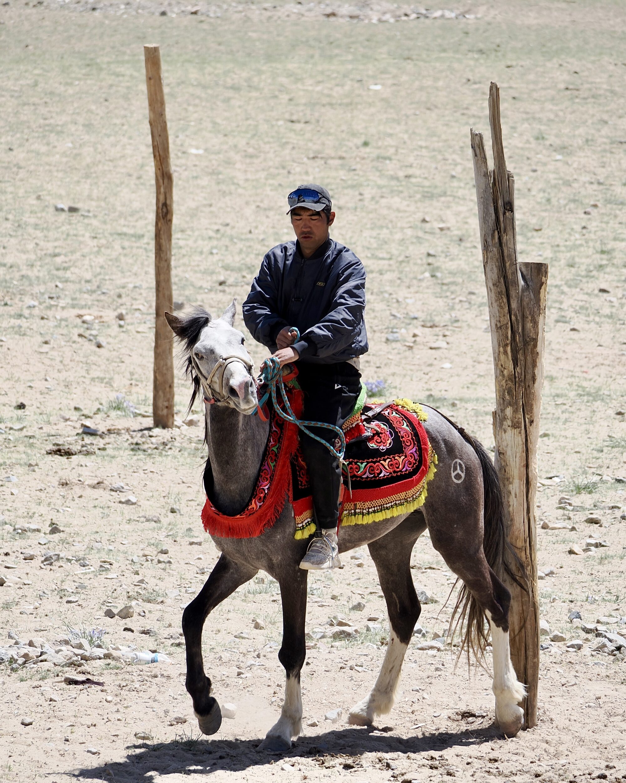
Obviously, the pictured horse is not a “Merc”, I am sure that Mercedes is not its name, and there is no reason to believe that the rider’s other horse is a Porsche.

Still, I was greatly surprised to see a 3-star-branded steed.

When I took this photo we were only a few kilometres from Karakul Lake, in China’s northwestern corner, where several international borders are very much closer than is Beijing.

At 1.21 pm on 24 May 2024, I thought we were looking at one of a group of several nomadic/quasi-nomadic herders, and their horses.

However, I was puzzled by the apparent absence of sheep, goats or cattle…

Comments closed

Triple K “expedition” (#36 in teaser series: en route to the third “K”)


On 24 May 2024 we travelled from Tashkurgan (China’s westernmost substantial town) to Kashgar, aka “Kashi”.

For many centuries Kashgar – the third of our “expedition”’s three Ks – was a major hub on “The Silk Road”.

In the direction we drove, our route was the Karakoram Highway’s final 291 kilometres.

The Chinese section’s landscapes are generally less “vertiginous, on both sides” than are those along the Highway’s actually-Karakoram, Pakistan section.

From Tashkurgan through to Kashgar, vistas tend to be much wider, more likely to be rimmed by mountains rather than absolutely dominated by them.

Big mountains and glaciers are still abundant.

Comments closed