Skip to content →

Category: Western Australia

Deep South WA, Feb ‘25 (#1 in series: deepest south)

This series is the fruit of our most recent trip to our favourite part of Australia.

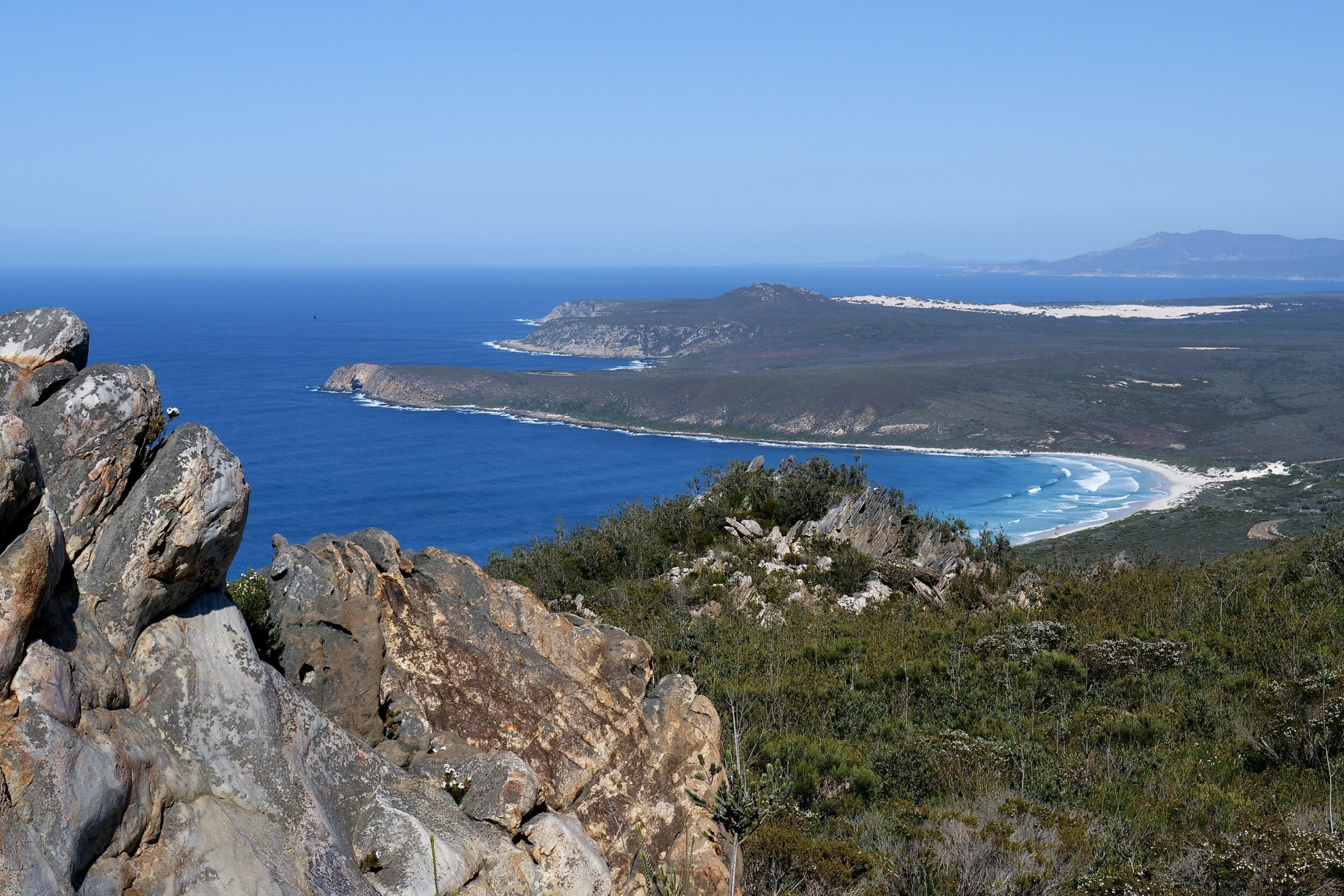
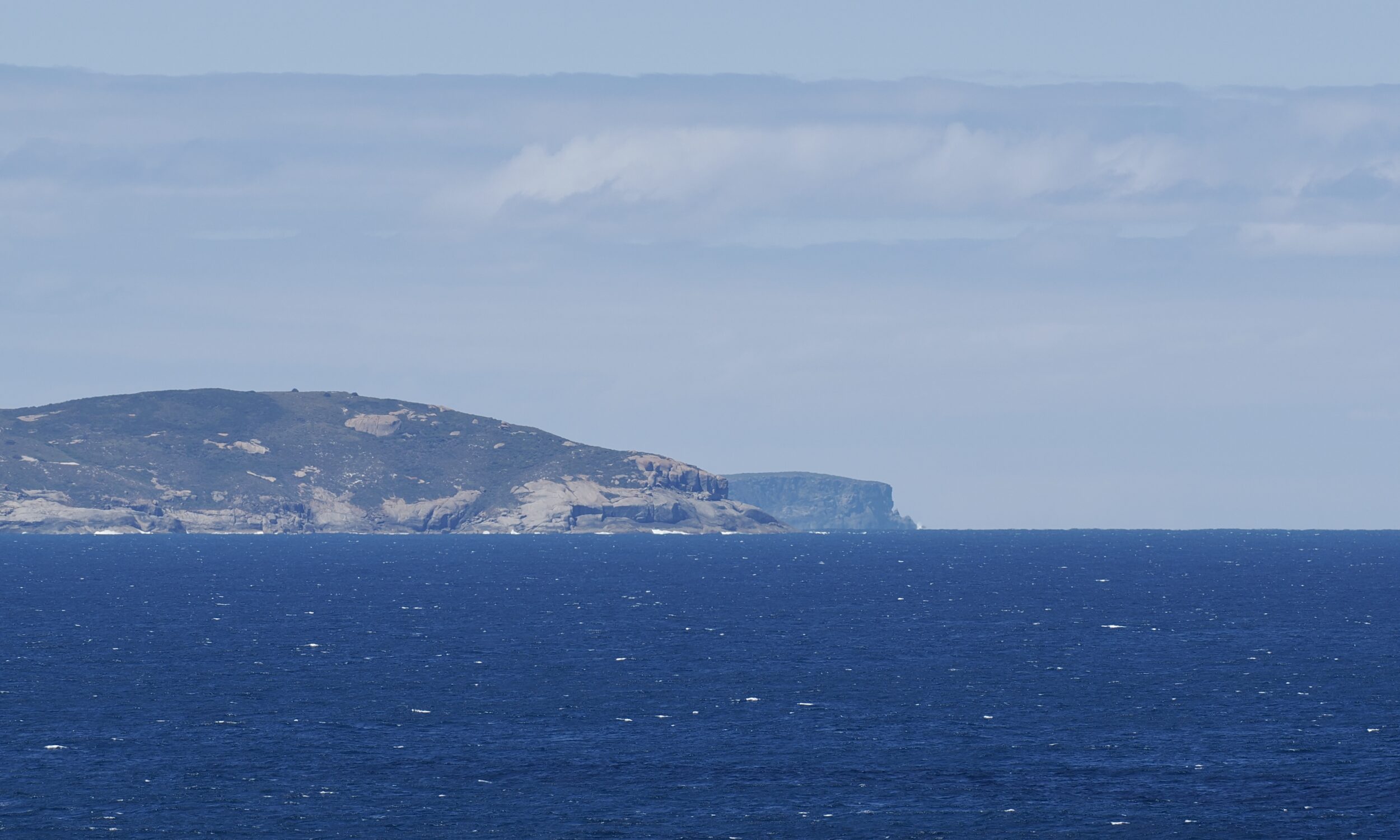
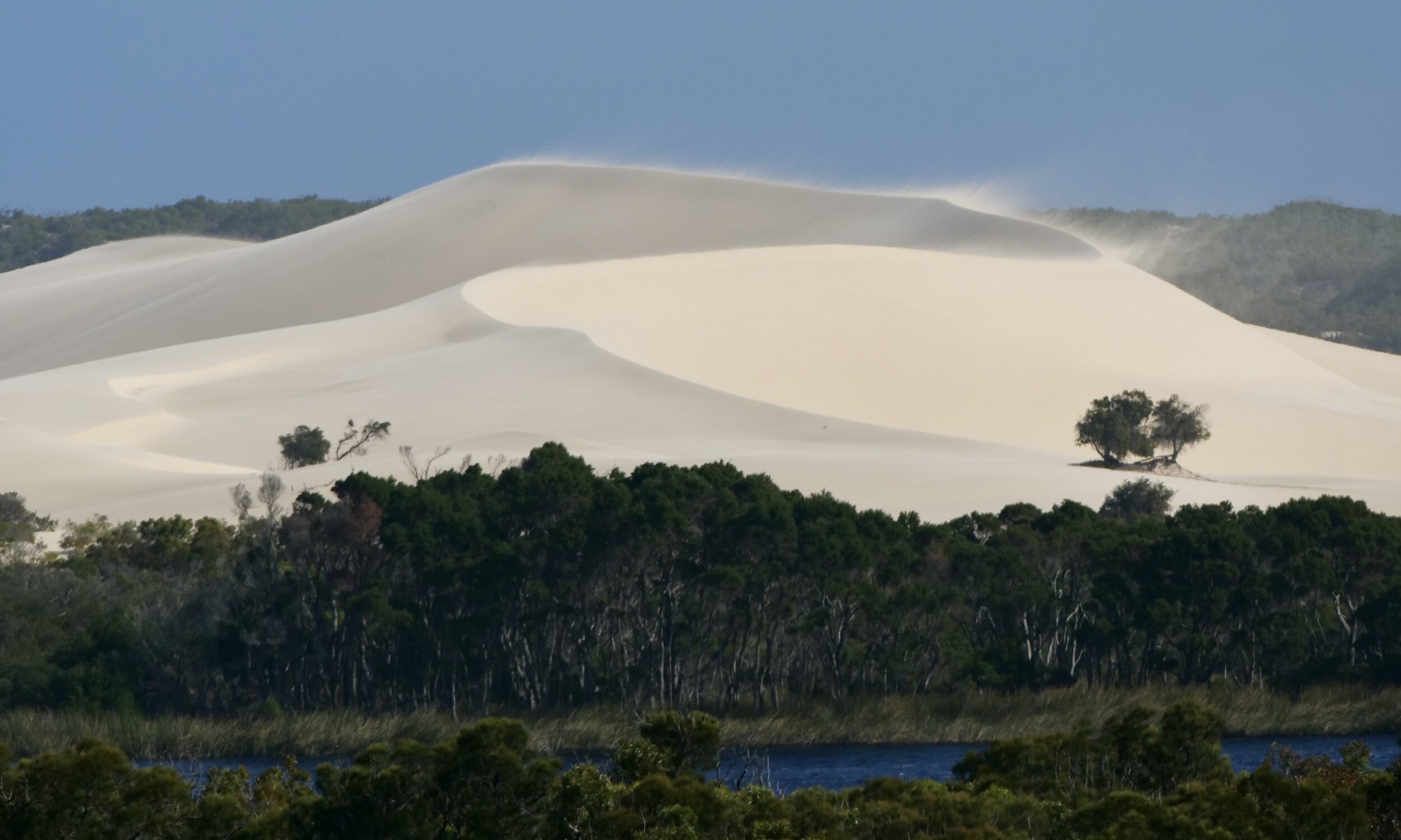
The featured image looks east from Wilson Head (which is immediately west/southwest of Denmark’s Ocean Beach and the Wilson Inlet) over to West Cape Howe.

Torbay Head – on the far/hidden, southeast tip of West Cape Howe – is Western Australia’s southernmost point.

Comments closed
Grand sands (final episode: Muttonbird Beach + musical bonus)


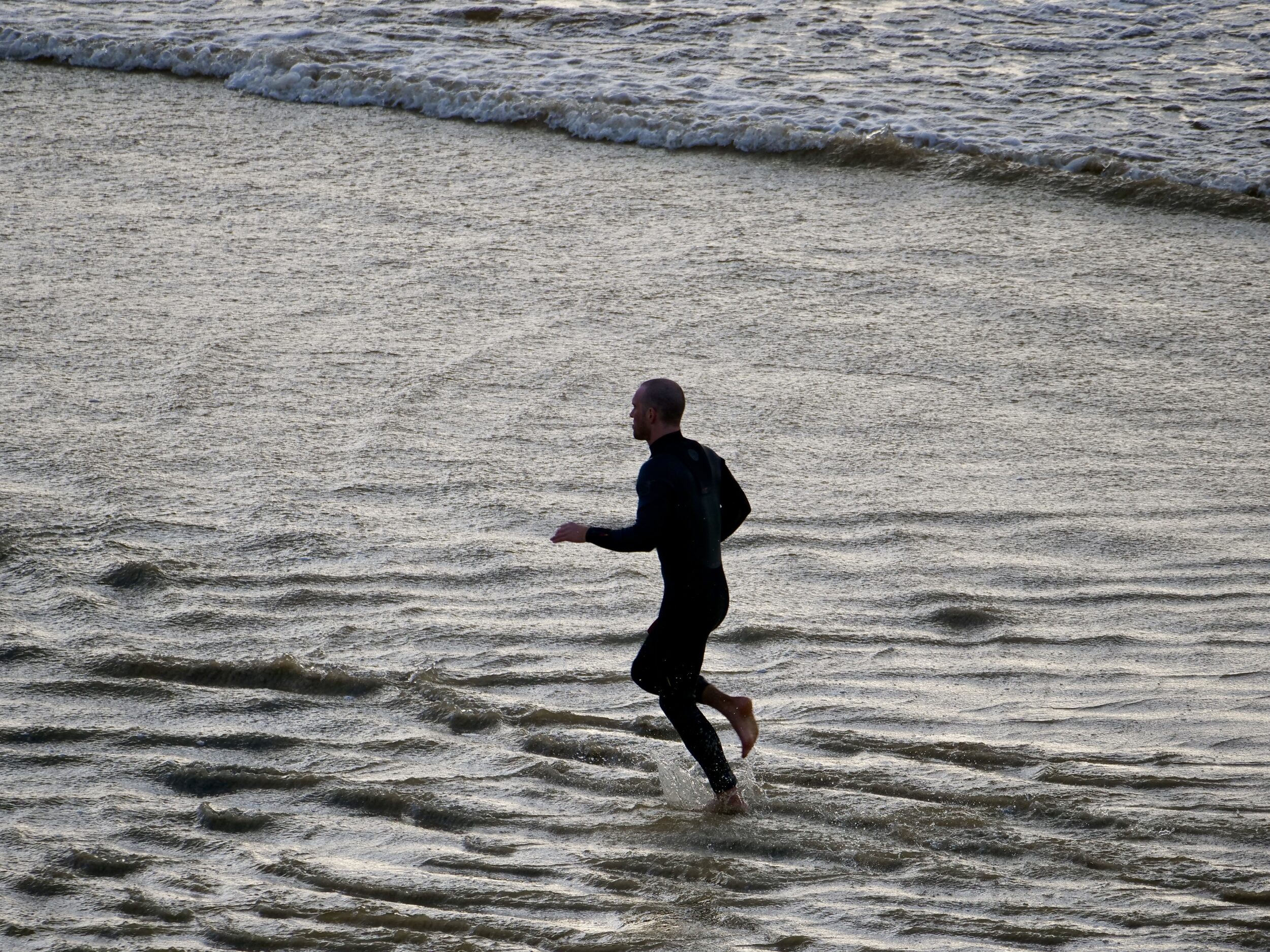
Where else in the world could one be less than 20 kilometres distant from an eminently civilised town of more than 40,000 permanent residents (plus a large number of tourists) , and enjoy the pictured experience?

My beloved and I are not visible in the featured image.

It does, however, show all other humans present at Muttonbird Beach during the late afternoon “golden hour” on 21 March 2021.

To reach this glorious, safe-swimming spot, on a perfect “beach day”, we drove for less than 30 minutes, on good roads…

Comments closed

Grand sands (#53 in series: “misread” dunes)


Some well-meaning 20th/21st century humans have viewed the pictured dunes as an unfortunate byproduct of 19th and/or 20th century overclearing and overgrazing.

In fact, this particular dune field was already part of the local landscape long before Europeans reached any part of Terra Australis.

Comments closed

Grand sands (#43 in series: atop East Mount Barren, looking west)


Sitting 450 metres ASL, atop Mount Barren at 9:43 am on 21 September 2021, all land within my  westward field of a view – and very much more, well beyond it – was part of Fitzgerald River National Park.

To the west, the nearest coastal town was Bremer Bay, just outside the National Park’s western boundary.

Were I able to fly, Bremer Bay would be 80 kilometres distant from my vantage point.

By road, the distance is nearly twice that – the near-coast road only extends a few kilometres west of East Mount Barren

Comments closed

Grand sands (#42 in series: atop East Mount Barren, looking east)

Q: what do the mostly-grey, stark rocks atop East Mt Barren have in common with the mostly-white sands that are a feature of so many beaches on Western Australia’s south coast?

A: both are composed almost entirely of the second most abundant mineral in the earth’s crust, namely….

Comments closed

Messy eaters, in full colour.


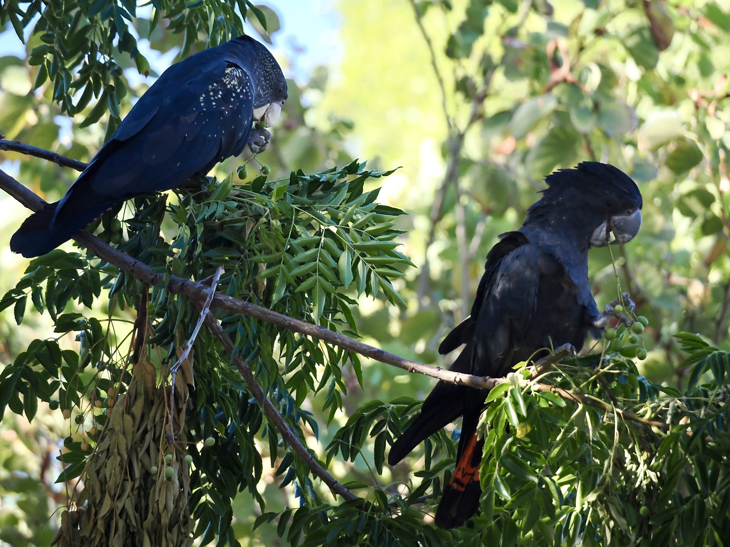
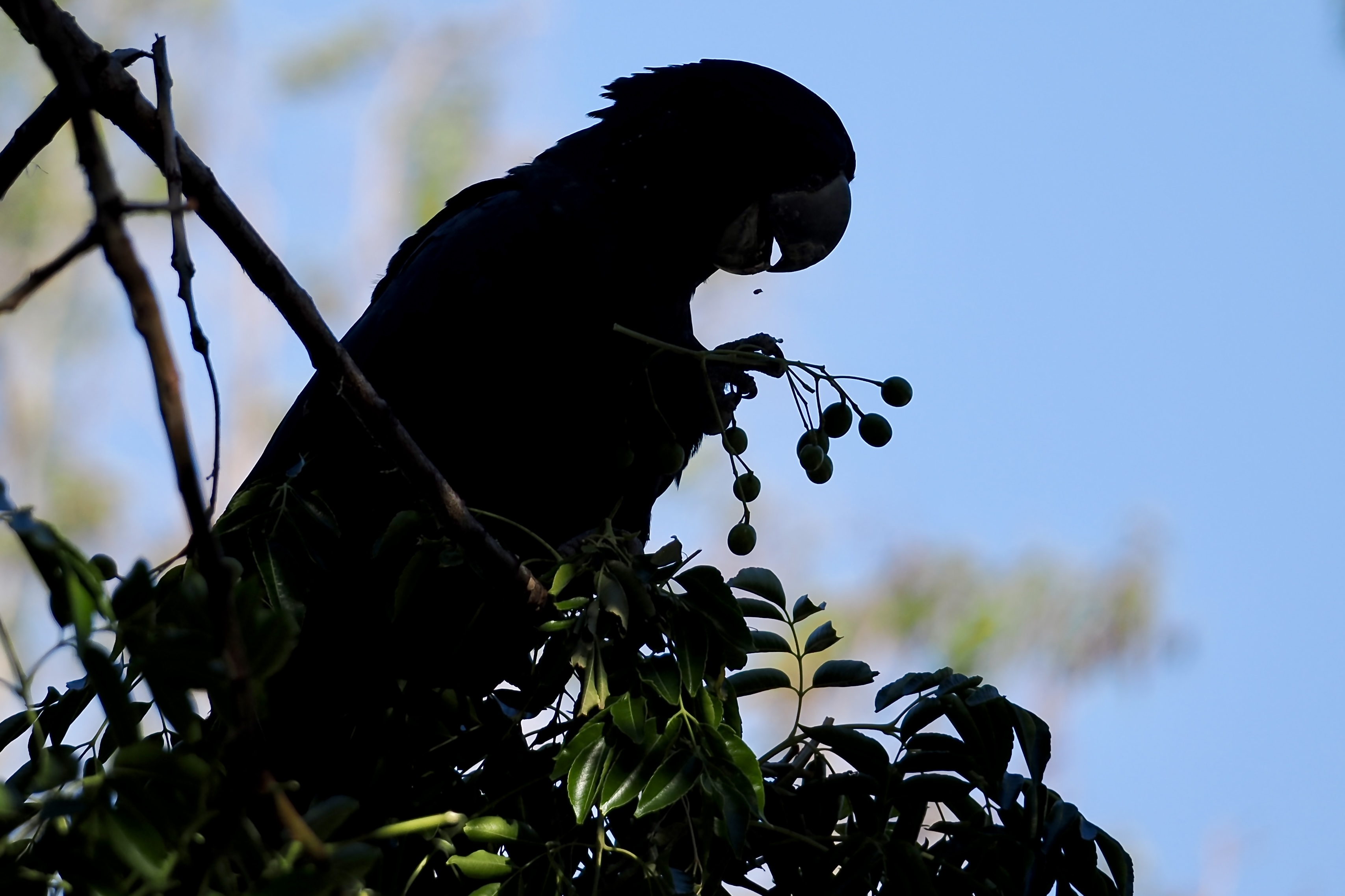
For residents of West Leederville (in Perth’s inner suburbia) the second day of February 2025 provided yet another nice reminder that Australia’s birds are – collectively – the world’s loudest..and the most intelligent.

Hereabouts, late last Sunday afternoon was something of a “benign riot” for one species: Calyptorhynchus banksii naso – the Forest red-tailed black cockatoo.

Comments closed

Grand sands (#41 in series: dunes, devouring forest & wetlands)


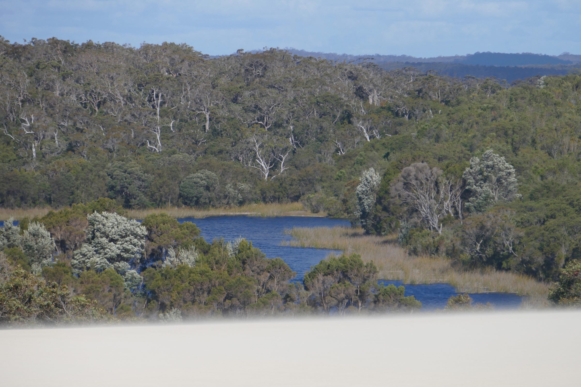
20 kilometres southwest of Pemberton, in southwestern WA’s “Karri country”, the Yeagarup Dunes cover circa 30 square kilometres.

They are the Southern Hemisphere’s largest mobile, land-locked dune system.

The Yeagarup Dunes are currently advancing inland at circa 4 metres per year.

This post’s photos were taken from the top of their “hungry” edge, on 27 October 2016.

Comments closed

Grand sands (#40 in series: “looking down” on prostrate plants [2 of 2])


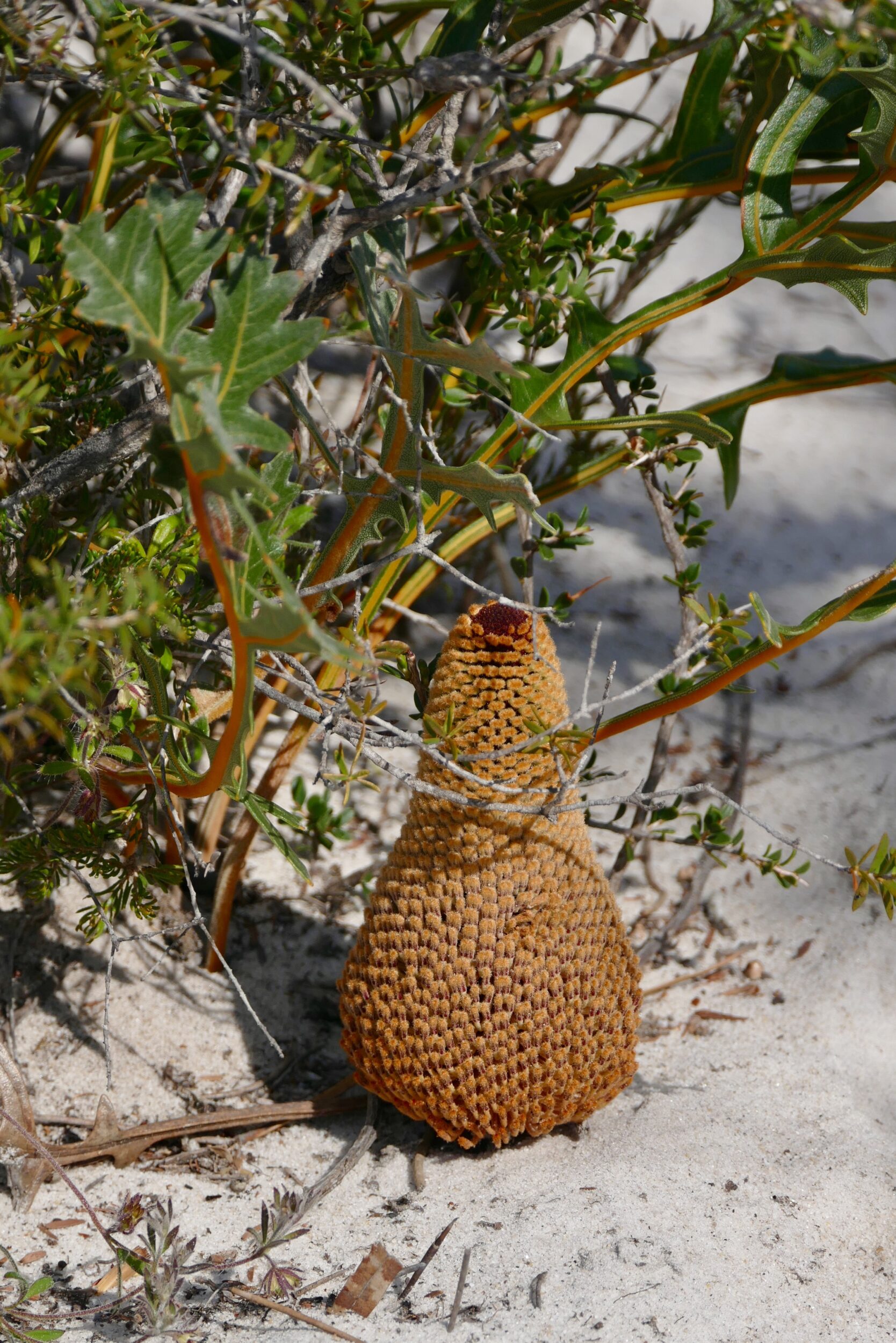
Collectively and individually, members of the genus Banksia are among the world’s more spectacular and surprising flowering plants.

If one accepts the reclassification that brought the 94 Dryandra species into the Banksia fold, the genus has circa 170 members; if one does not, there are 79 named Banksia species.

Either way, all but one species are endemic to Australia.

The overwhelming majority naturally occur only in Western Australia, and most of those have very small ranges, in near-coastal parts of WA’s southwest.

Even by Banksia standards, the six prostratae species are “wondrous strange”.

Comments closed